4815 New Harmony Rd Martinsville, IN 46151
Estimated Value: $356,000 - $498,000
3
Beds
2
Baths
1,467
Sq Ft
$290/Sq Ft
Est. Value
About This Home
This home is located at 4815 New Harmony Rd, Martinsville, IN 46151 and is currently estimated at $425,624, approximately $290 per square foot. 4815 New Harmony Rd is a home located in Morgan County with nearby schools including Martinsville High School.
Ownership History
Date
Name
Owned For
Owner Type
Purchase Details
Closed on
Feb 11, 2008
Sold by
Scott Mary Catherine
Bought by
Williams Jeffrey R
Current Estimated Value
Home Financials for this Owner
Home Financials are based on the most recent Mortgage that was taken out on this home.
Original Mortgage
$135,957
Outstanding Balance
$86,384
Interest Rate
6.2%
Mortgage Type
Purchase Money Mortgage
Estimated Equity
$339,240
Create a Home Valuation Report for This Property
The Home Valuation Report is an in-depth analysis detailing your home's value as well as a comparison with similar homes in the area
Home Values in the Area
Average Home Value in this Area
Purchase History
| Date | Buyer | Sale Price | Title Company |
|---|---|---|---|
| Williams Jeffrey R | -- | -- |
Source: Public Records
Mortgage History
| Date | Status | Borrower | Loan Amount |
|---|---|---|---|
| Open | Williams Jeffrey R | $135,957 |
Source: Public Records
Tax History Compared to Growth
Tax History
| Year | Tax Paid | Tax Assessment Tax Assessment Total Assessment is a certain percentage of the fair market value that is determined by local assessors to be the total taxable value of land and additions on the property. | Land | Improvement |
|---|---|---|---|---|
| 2024 | $1,669 | $342,000 | $90,500 | $251,500 |
| 2023 | $1,730 | $351,800 | $90,500 | $261,300 |
| 2022 | $1,636 | $343,300 | $88,200 | $255,100 |
| 2021 | $1,102 | $260,000 | $57,200 | $202,800 |
| 2020 | $1,016 | $252,500 | $57,200 | $195,300 |
| 2019 | $930 | $225,100 | $57,200 | $167,900 |
| 2018 | $1,085 | $220,000 | $57,200 | $162,800 |
| 2017 | $1,075 | $219,400 | $57,200 | $162,200 |
| 2016 | $1,046 | $208,800 | $46,400 | $162,400 |
| 2014 | $823 | $199,900 | $46,400 | $153,500 |
| 2013 | $823 | $207,900 | $46,400 | $161,500 |
Source: Public Records
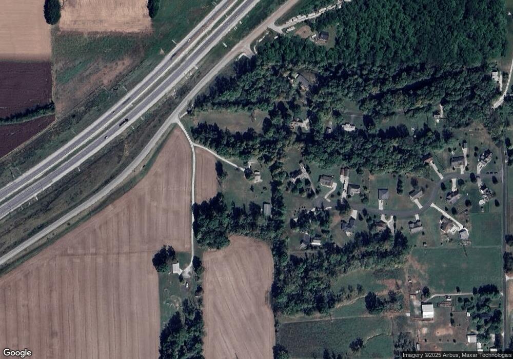
Map
Nearby Homes
- 4440 State Road 37 N
- 00 Wysscraft Ln
- 5020 Cragen Rd
- 4385 Cragen Rd
- 3735 Egbert Rd
- 5774 N Henderson Ford Rd
- 0 Gray Rd Unit 11236965
- TBD Maple Grove Rd
- 8000 New Harmony Rd
- 6376 E Perry Ln
- 4360 Williams Rd
- 3813 N Ramsgate Rd
- 0 Foxcliff East Dr S Unit MBR22069585
- 0 N Gray Rd Unit MBR22016886
- 2001 E Ely Ct
- 7158 New Harmony Rd
- 1927 E Derby Ct
- 0 N Oxford Ct Unit MBR21838244
- N Oxford Ct N Oxford Ct
- 4392 N York Dr
- 4768 Persimmon Tree Ln
- 4765 Persimmon Tree Ln
- 4770 Persimmon Tree Ln
- 4771 Persimmon Tree Ln
- 4650 Ennis Rd
- 4776 Persimmon Tree Ln
- 4801 New Harmony Rd
- 4789 Persimmon Tree Dr
- 4789 Persimmon Tree Ln
- 4610 Ennis Rd
- 4798 Persimmon Tree Ln
- 4790 Ennis Rd
- 0 Persimmon Tree Ln
- 4675 Ennis Rd
- 4834 Persimmon Tree Ln
- 4817 Persimmon Tree Ln
- LOT 16 Persimmon Tree Ln
- LOT 17 Persimmon Tree Ln
- LOT 14 Persimmon Tree Ln
- LOT 5 Persimmon Tree Ln