4829 Crain Hwy Upper Marlboro, MD 20772
Estimated Value: $1,857,343
--
Bed
--
Bath
20,964
Sq Ft
$89/Sq Ft
Est. Value
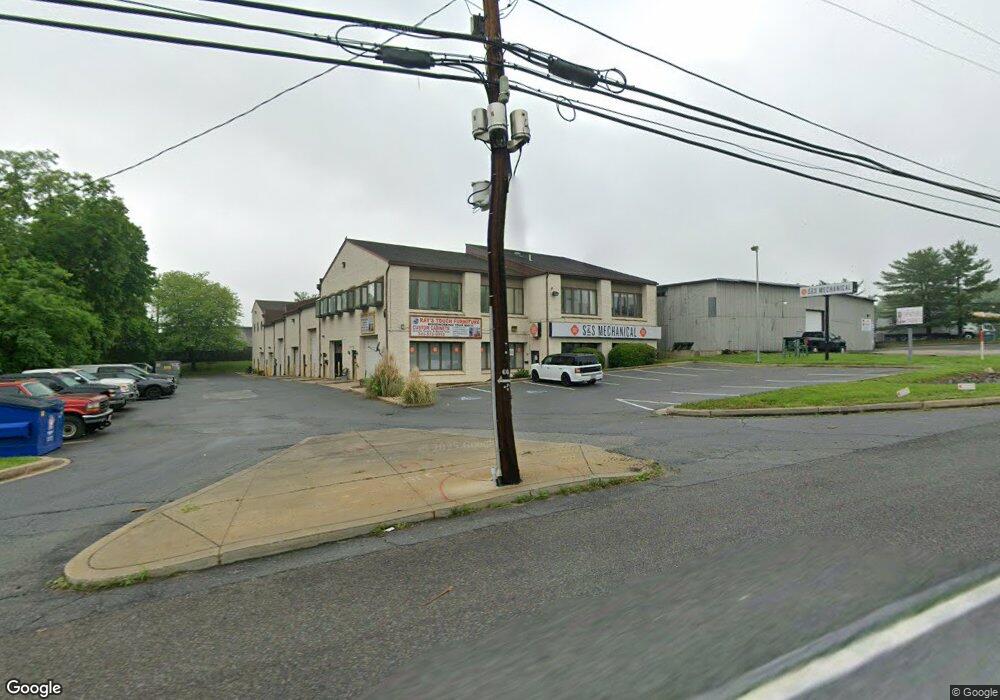
About This Home
This home is located at 4829 Crain Hwy, Upper Marlboro, MD 20772 and is currently estimated at $1,857,343, approximately $88 per square foot. 4829 Crain Hwy is a home located in Prince George's County with nearby schools including Barack Obama Elementary School, James Madison Middle School, and Dr. Henry A. Wise Jr. High School.
Ownership History
Date
Name
Owned For
Owner Type
Purchase Details
Closed on
Dec 29, 2021
Sold by
Upper Marlboro Service Center Llc
Bought by
Upper Marlboro Business Center Llc
Current Estimated Value
Purchase Details
Closed on
Aug 29, 1996
Sold by
Litten Samuel C and Litten Lillian L
Bought by
Upper Marlboro Service Center L
Purchase Details
Closed on
Aug 2, 1977
Sold by
Michael Kenneth H
Bought by
Litten Samuel C and Litten Lillian L
Create a Home Valuation Report for This Property
The Home Valuation Report is an in-depth analysis detailing your home's value as well as a comparison with similar homes in the area
Home Values in the Area
Average Home Value in this Area
Purchase History
| Date | Buyer | Sale Price | Title Company |
|---|---|---|---|
| Upper Marlboro Business Center Llc | $1,640,000 | New Title Company Name | |
| Upper Marlboro Service Center L | $675,000 | -- | |
| Litten Samuel C | $40,000 | -- |
Source: Public Records
Tax History Compared to Growth
Tax History
| Year | Tax Paid | Tax Assessment Tax Assessment Total Assessment is a certain percentage of the fair market value that is determined by local assessors to be the total taxable value of land and additions on the property. | Land | Improvement |
|---|---|---|---|---|
| 2025 | $28,046 | $1,969,700 | $392,900 | $1,576,800 |
| 2024 | $28,046 | $1,821,433 | $0 | $0 |
| 2023 | $18,606 | $1,673,167 | $0 | $0 |
| 2022 | $16,957 | $1,524,900 | $392,900 | $1,132,000 |
| 2021 | $23,618 | $1,474,233 | $0 | $0 |
| 2020 | $22,113 | $1,423,567 | $0 | $0 |
| 2019 | $19,660 | $1,372,900 | $392,900 | $980,000 |
| 2018 | $21,102 | $1,355,567 | $0 | $0 |
| 2017 | $20,587 | $1,338,233 | $0 | $0 |
| 2016 | -- | $1,320,900 | $0 | $0 |
| 2015 | $16,440 | $1,424,233 | $0 | $0 |
| 2014 | $16,440 | $1,263,467 | $0 | $0 |
Source: Public Records
Map
Nearby Homes
- 4661 Crain Hwy
- 15109 Marlboro Pike
- 15200 Peerless Ave
- 15312 Sir Edwards Dr
- 15411 Governors Park Ln
- 15407 Governors Park Ln
- 15318 Governors Park Ln
- 14511 Colonels Choice
- 4411 Largo Rd
- 14511 Marlborough Cir
- 3823 Effie Fox Way
- 14404 Marlborough Dr
- 4720 Colonel Ashton Place
- 15700 Grand St
- 4808 Colonel Brooke Ct
- 4516 Governor Pratt Ct
- 3807 Pentland Hills Dr
- 15701 Norus St
- 5431 Old Crain Hwy
- 14218 Hampshire Hall Ct
- 4811 Crain Hwy
- 4821 Crain Hwy
- 15401 Marlboro Pike
- 15444 Depot Ln
- 15501 Marlboro Pike
- 15475 Marlboro Pike
- 15323 Marlboro Pike
- 15409 Marlboro Pike
- 15400 Depot Ln
- 15445 Depot Ln
- 15323 Depot Ln
- 15325 Marlboro Pike
- 15321 Marlboro Pike
- 15500 Marlboro Pike
- 15315 Marlboro Pike
- 4800 Crain Hwy
- 15408 Marlboro Pike
- 15406 Marlboro Pike
- 15404 Marlboro Pike
- 15412 Marlboro Pike