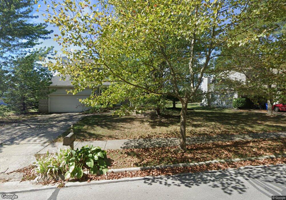
483 Chestnut Ave Westerville, OH 43082
Genoa NeighborhoodEstimated Value: $442,000 - $459,268
4
Beds
3
Baths
2,182
Sq Ft
$206/Sq Ft
Est. Value
About This Home
This home is located at 483 Chestnut Ave, Westerville, OH 43082 and is currently estimated at $448,817, approximately $205 per square foot. 483 Chestnut Ave is a home located in Delaware County with nearby schools including Robert Frost Elementary School, Heritage Middle School, and Westerville-North High School.
Ownership History
Date
Name
Owned For
Owner Type
Purchase Details
Closed on
Jun 23, 1994
Sold by
Homewood Corp
Bought by
Neumann James B and Landgraf Jameson A
Current Estimated Value
Home Financials for this Owner
Home Financials are based on the most recent Mortgage that was taken out on this home.
Original Mortgage
$120,000
Interest Rate
8.78%
Mortgage Type
New Conventional
Create a Home Valuation Report for This Property
The Home Valuation Report is an in-depth analysis detailing your home's value as well as a comparison with similar homes in the area
Home Values in the Area
Average Home Value in this Area
Purchase History
| Date | Buyer | Sale Price | Title Company |
|---|---|---|---|
| Neumann James B | $133,587 | -- |
Source: Public Records
Mortgage History
| Date | Status | Borrower | Loan Amount |
|---|---|---|---|
| Closed | Neumann James B | $120,000 |
Source: Public Records
Tax History Compared to Growth
Tax History
| Year | Tax Paid | Tax Assessment Tax Assessment Total Assessment is a certain percentage of the fair market value that is determined by local assessors to be the total taxable value of land and additions on the property. | Land | Improvement |
|---|---|---|---|---|
| 2024 | $6,110 | $119,920 | $25,870 | $94,050 |
| 2023 | $6,040 | $119,920 | $25,870 | $94,050 |
| 2022 | $5,227 | $80,290 | $17,710 | $62,580 |
| 2021 | $5,272 | $80,290 | $17,710 | $62,580 |
| 2020 | $5,306 | $80,290 | $17,710 | $62,580 |
| 2019 | $4,586 | $66,290 | $15,400 | $50,890 |
| 2018 | $4,509 | $66,290 | $15,400 | $50,890 |
| 2017 | $4,392 | $60,730 | $11,200 | $49,530 |
| 2016 | $4,507 | $60,730 | $11,200 | $49,530 |
| 2015 | $4,311 | $60,730 | $11,200 | $49,530 |
| 2014 | $4,354 | $60,730 | $11,200 | $49,530 |
| 2013 | $4,155 | $57,930 | $11,200 | $46,730 |
Source: Public Records
Map
Nearby Homes
- 656 Olde Mill Dr
- 718 Sugar Ct
- 672 Stonefield Dr
- 754 Kingsmead Rd Unit 18754
- 547 County Line Rd
- 267 Windemere Place
- 223 Dogwood Ln
- 175 Nottingham Ct
- 150 Matthew Ave
- 912 Lakeway Ct E
- 348 Buck Run Trail
- 974 Lakeland Dr
- 137 Abbeycross Ln
- 705 N State St Unit 211
- 129 Abbeycross Ln Unit 129
- 114 Canterbrick Dr
- 589 E College Ave
- 368 E College Ave
- 543 N State St
- 364 E College Ave
- 491 Chestnut Ave
- 470 Burns Dr N
- 478 Burns Dr N
- 472 Chestnut Ave
- 480 Chestnut Ave
- 462 Burns Dr N
- 488 Chestnut Ave
- 490 Burns Dr N
- 497 Chestnut Ave
- 605 Big Rock Dr
- 454 Burns Dr N
- 612 Big Rock Dr
- 498 Chestnut Ave
- 503 Chestnut Ave
- 452 Chestnut Ave
- 0 Chestnut Ave Unit L438
- 465 Burns Dr N
- 620 Big Rock Dr
- 527 Grist Run Rd
- 473 Burns Dr N