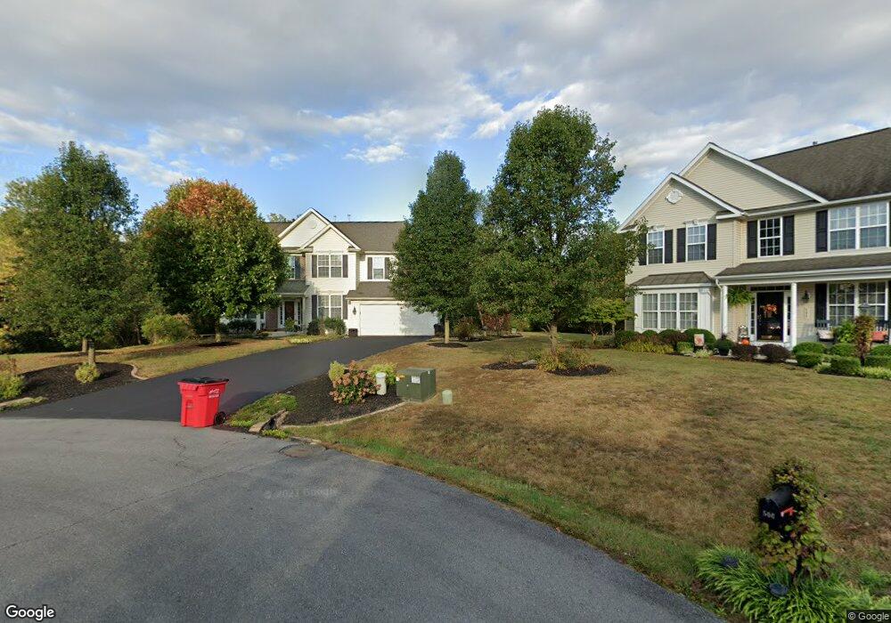
483 Shannon Dr N Greencastle, PA 17225
Estimated Value: $435,000 - $712,760
4
Beds
3
Baths
2,610
Sq Ft
$208/Sq Ft
Est. Value
About This Home
This home is located at 483 Shannon Dr N, Greencastle, PA 17225 and is currently estimated at $542,190, approximately $207 per square foot. 483 Shannon Dr N is a home located in Franklin County with nearby schools including Greencastle-Antrim Primary School, Greencastle-Antrim Elementary School, and Greencastle-Antrim Middle School.
Ownership History
Date
Name
Owned For
Owner Type
Purchase Details
Closed on
May 13, 2006
Sold by
Long William M and Long Tracy L
Bought by
Schwalm Carol L and Schwalm Robert W
Current Estimated Value
Home Financials for this Owner
Home Financials are based on the most recent Mortgage that was taken out on this home.
Original Mortgage
$210,000
Interest Rate
6.4%
Mortgage Type
Purchase Money Mortgage
Purchase Details
Closed on
Sep 8, 2005
Sold by
Goodier Builders At Greencastle Llc
Bought by
Long William Mo and Roskey Tracy L
Home Financials for this Owner
Home Financials are based on the most recent Mortgage that was taken out on this home.
Original Mortgage
$269,119
Interest Rate
5.92%
Mortgage Type
New Conventional
Create a Home Valuation Report for This Property
The Home Valuation Report is an in-depth analysis detailing your home's value as well as a comparison with similar homes in the area
Home Values in the Area
Average Home Value in this Area
Purchase History
| Date | Buyer | Sale Price | Title Company |
|---|---|---|---|
| Schwalm Carol L | $390,000 | None Available | |
| Long William Mo | $336,399 | None Available |
Source: Public Records
Mortgage History
| Date | Status | Borrower | Loan Amount |
|---|---|---|---|
| Previous Owner | Schwalm Carol L | $210,000 | |
| Previous Owner | Long William Mo | $269,119 |
Source: Public Records
Tax History Compared to Growth
Tax History
| Year | Tax Paid | Tax Assessment Tax Assessment Total Assessment is a certain percentage of the fair market value that is determined by local assessors to be the total taxable value of land and additions on the property. | Land | Improvement |
|---|---|---|---|---|
| 2025 | $7,033 | $42,040 | $5,180 | $36,860 |
| 2024 | $6,380 | $42,040 | $5,180 | $36,860 |
| 2023 | $6,305 | $42,040 | $5,180 | $36,860 |
| 2022 | $6,305 | $42,040 | $5,180 | $36,860 |
| 2021 | $6,183 | $42,040 | $5,180 | $36,860 |
| 2020 | $6,022 | $42,040 | $5,180 | $36,860 |
| 2019 | $5,885 | $42,040 | $5,180 | $36,860 |
| 2018 | $5,822 | $42,040 | $5,180 | $36,860 |
| 2017 | $5,675 | $42,040 | $5,180 | $36,860 |
| 2016 | $1,204 | $42,040 | $5,180 | $36,860 |
| 2015 | $1,122 | $42,040 | $5,180 | $36,860 |
| 2014 | $1,122 | $42,040 | $5,180 | $36,860 |
Source: Public Records
Map
Nearby Homes
- 1827 Shannon Dr S
- 1809 Shannon Dr S
- 107 Makayla Dr
- 1882 Shannon Dr S
- LOT 666B Maya Dr
- 1401 Shannon Dr S
- 642 Shannon Dr S
- 112521 Delanie Dr
- 112526 Delanie Dr
- 102560 Shannon Dr S
- 115HOM Shannon Dr S
- 533 Hilltop Cir
- 112537 Shannon Dr S
- 1299 Divinity Dr
- 112551 Shannon Dr S
- 112501 Shannon Dr S
- 112506 Shannon Dr S
- 112531 Shannon Dr S
- 112546 Shannon Dr S
- 112566 Shannon Dr S
- 500 Shannon Dr N
- 72505 Shannon Dr
- 511 Shannon Dr N
- 502 Shannon Dr N
- 504 Shannon Dr N
- 523 Shannon Dr N
- 532 Shannon Dr N
- 545 Shannon Dr N
- 550 Shannon Dr N
- 563 Shannon Dr N
- 576 Shannon Dr N
- 581 Shannon Dr N
- 594 Shannon Dr N
- 610 Shannon Dr N
- 603 Shannon Dr N
- 1430 Castlegreen Dr
- 632 Shannon Dr N
- 619 Shannon Dr N
- 650 Shannon Dr N
- 641 Shannon Dr N