484 High St Florence, CO 81226
Estimated Value: $166,113 - $280,000
2
Beds
2
Baths
1,152
Sq Ft
$187/Sq Ft
Est. Value
About This Home
This home is located at 484 High St, Florence, CO 81226 and is currently estimated at $215,278, approximately $186 per square foot. 484 High St is a home located in Fremont County with nearby schools including Penrose Elementary School, Florence High School, and Florence Christian School.
Ownership History
Date
Name
Owned For
Owner Type
Purchase Details
Closed on
Apr 19, 2007
Sold by
Secretary Of Veterans Affairs
Bought by
Hausen Valarie
Current Estimated Value
Home Financials for this Owner
Home Financials are based on the most recent Mortgage that was taken out on this home.
Original Mortgage
$67,160
Interest Rate
6.15%
Mortgage Type
FHA
Purchase Details
Closed on
May 12, 2006
Sold by
Gmac Mortgage Corporation
Bought by
Secretary Of Veteran S Affairs
Purchase Details
Closed on
May 8, 2006
Sold by
Donahue James J
Bought by
Gmac Mortgage Corp
Create a Home Valuation Report for This Property
The Home Valuation Report is an in-depth analysis detailing your home's value as well as a comparison with similar homes in the area
Home Values in the Area
Average Home Value in this Area
Purchase History
| Date | Buyer | Sale Price | Title Company |
|---|---|---|---|
| Hausen Valarie | -- | Security Title | |
| Secretary Of Veteran S Affairs | -- | None Available | |
| Gmac Mortgage Corp | -- | None Available |
Source: Public Records
Mortgage History
| Date | Status | Borrower | Loan Amount |
|---|---|---|---|
| Previous Owner | Hausen Valarie | $67,160 |
Source: Public Records
Tax History Compared to Growth
Tax History
| Year | Tax Paid | Tax Assessment Tax Assessment Total Assessment is a certain percentage of the fair market value that is determined by local assessors to be the total taxable value of land and additions on the property. | Land | Improvement |
|---|---|---|---|---|
| 2024 | $368 | $16,285 | $0 | $0 |
| 2023 | $368 | $11,850 | $0 | $0 |
| 2022 | $691 | $11,236 | $0 | $0 |
| 2021 | $698 | $11,559 | $0 | $0 |
| 2020 | $476 | $9,541 | $0 | $0 |
| 2019 | $482 | $9,541 | $0 | $0 |
| 2018 | $419 | $8,400 | $0 | $0 |
| 2017 | $425 | $8,400 | $0 | $0 |
| 2016 | $444 | $8,770 | $0 | $0 |
| 2015 | $438 | $8,770 | $0 | $0 |
| 2012 | $494 | $8,752 | $4,458 | $4,294 |
Source: Public Records
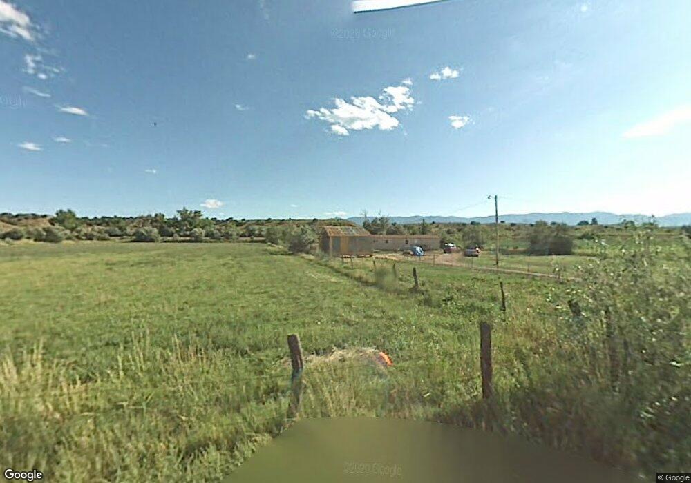
Map
Nearby Homes
- 139 High St
- 10719 Colorado 115
- 10804 State Highway 115
- 10830 Colorado 115
- 531 Cr 119
- 531 County Road 119
- 20 Highway 120
- 997 County Road 119
- 1045 County Road 119
- TBD County Road 119
- 0 County Road 119
- 1002 E 2nd St
- 4001/2&TBD Gumaer Ave
- TBD Cr 119
- 15 Needham Rd
- 21 Needham Rd
- 1004 Clyde Dr
- 800 E Main St
- 123 County Road 117 Unit 127
- 123 County Road 117
- 10544 State Highway 115
- 109 High St Unit FRE
- 109 High St
- 10624 State Highway 115
- 10510 State Highway 115
- 117 County Road 117
- TBD County Road 117
- 105 High St
- 107 High St
- 105-107 High St
- 0 County Road 117
- TBD High St
- 0 County Rd 117 Unit 114483
- 0 County Rd 117 Unit 114483
- 16 County Road 136 Unit FRE
- 10392 State Highway 115
- 95 County Road 117 Unit FRE
- 10641 State Highway 115