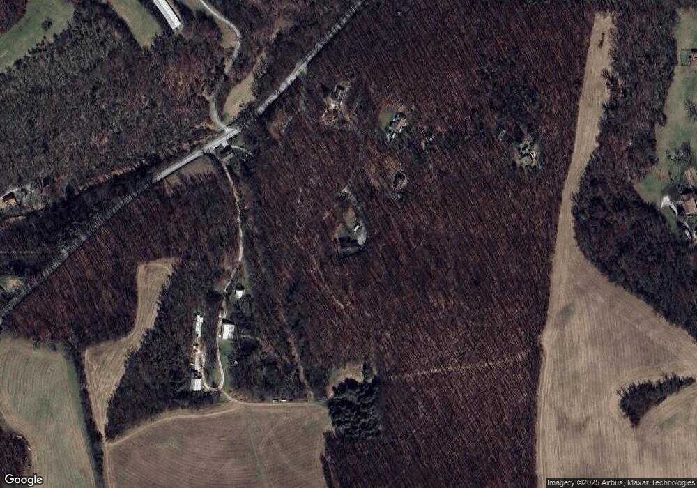
4842 Woodland Path Glenville, PA 17329
Estimated Value: $456,000 - $652,000
5
Beds
3
Baths
2,640
Sq Ft
$214/Sq Ft
Est. Value
About This Home
This home is located at 4842 Woodland Path, Glenville, PA 17329 and is currently estimated at $564,864, approximately $213 per square foot. 4842 Woodland Path is a home located in York County with nearby schools including South Western Senior High School.
Ownership History
Date
Name
Owned For
Owner Type
Purchase Details
Closed on
Jun 29, 2006
Sold by
Gallagher Timothy R and Gallagher Nancy R
Bought by
Moffitt Bryan H and Moffitt Patricia A
Current Estimated Value
Home Financials for this Owner
Home Financials are based on the most recent Mortgage that was taken out on this home.
Original Mortgage
$329,600
Outstanding Balance
$195,135
Interest Rate
6.6%
Mortgage Type
Purchase Money Mortgage
Estimated Equity
$369,729
Purchase Details
Closed on
Jun 13, 1991
Bought by
Gallagher Timothy R
Create a Home Valuation Report for This Property
The Home Valuation Report is an in-depth analysis detailing your home's value as well as a comparison with similar homes in the area
Home Values in the Area
Average Home Value in this Area
Purchase History
| Date | Buyer | Sale Price | Title Company |
|---|---|---|---|
| Moffitt Bryan H | $412,000 | None Available | |
| Gallagher Timothy R | $60,000 | -- |
Source: Public Records
Mortgage History
| Date | Status | Borrower | Loan Amount |
|---|---|---|---|
| Open | Moffitt Bryan H | $329,600 |
Source: Public Records
Tax History Compared to Growth
Tax History
| Year | Tax Paid | Tax Assessment Tax Assessment Total Assessment is a certain percentage of the fair market value that is determined by local assessors to be the total taxable value of land and additions on the property. | Land | Improvement |
|---|---|---|---|---|
| 2025 | $5,703 | $184,270 | $1,480 | $182,790 |
| 2024 | $5,676 | $184,270 | $1,480 | $182,790 |
| 2023 | $5,565 | $184,270 | $1,480 | $182,790 |
| 2022 | $5,434 | $184,270 | $1,480 | $182,790 |
| 2021 | $5,136 | $184,270 | $1,480 | $182,790 |
| 2020 | $5,136 | $184,270 | $1,480 | $182,790 |
| 2019 | $5,027 | $184,270 | $1,480 | $182,790 |
| 2018 | $4,953 | $184,270 | $1,480 | $182,790 |
| 2017 | $4,846 | $184,270 | $1,480 | $182,790 |
| 2016 | $0 | $184,270 | $1,480 | $182,790 |
| 2015 | -- | $184,210 | $1,420 | $182,790 |
| 2014 | -- | $184,330 | $1,540 | $182,790 |
Source: Public Records
Map
Nearby Homes
- 0 Highland Ln Unit PAYK2087128
- 7925 Main St
- 0 Arnold Rd Unit PAYK2091022
- 5007 Snyder Mill Rd
- 5040 Rocky Rd
- 4340 Lee Rd
- 2777 Maple Ln
- 3900 Blue Hill Rd
- 3744 Blue Hill Rd
- 5566 Blue Hill Rd
- 0 Emily Plan at Hills at Valley View Unit PAYK2082076
- 6320 Liam Dr
- 6322 Liam Dr
- 0 Redbud Plan at Hills at Valley View Unit PAYK2082078
- 0 Black Cherry Plan at Hills at Valley View Unit PAYK2082012
- Emily Plan at Hills at Valley View
- Pin Oak Plan at Hills at Valley View
- Black Cherry Plan at Hills at Valley View
- Sassafras Plan at Hills at Valley View
- Sweet Birch Plan at Hills at Valley View
- 4818 Woodland Path
- 4790 Woodland Path
- 4754 Woodland Path
- 3732 Trone Rd
- 4796 Woodland Path
- 3574 Trone Rd
- 3476 Trone Rd
- 3555 Baugher Ln
- 3997 Trone Rd
- 5501 Smoketown Rd
- 3505 Baugher Ln
- 3414 Trone Rd
- 3347 Trone Rd
- 4288 Trone Rd
- 5583 Smoketown Rd
- 5478 Smoketown Rd
- 5587 Smoketown Rd
- 5695 Smoketown Rd
- 5631 Smoketown Rd
- 5530 Smoketown Rd
