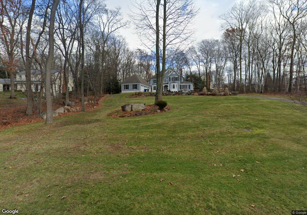
487 Cedar Ridge Dr Glastonbury, CT 06033
Minnechaug NeighborhoodEstimated Value: $708,000 - $872,000
4
Beds
4
Baths
2,972
Sq Ft
$275/Sq Ft
Est. Value
About This Home
This home is located at 487 Cedar Ridge Dr, Glastonbury, CT 06033 and is currently estimated at $817,740, approximately $275 per square foot. 487 Cedar Ridge Dr is a home located in Hartford County with nearby schools including Gideon Welles School, Hebron Avenue School, and Smith Middle School.
Ownership History
Date
Name
Owned For
Owner Type
Purchase Details
Closed on
Sep 23, 2005
Sold by
Jjjoc Llc
Bought by
Risso Mark T and Risso Diane M
Current Estimated Value
Home Financials for this Owner
Home Financials are based on the most recent Mortgage that was taken out on this home.
Original Mortgage
$425,000
Interest Rate
5.92%
Create a Home Valuation Report for This Property
The Home Valuation Report is an in-depth analysis detailing your home's value as well as a comparison with similar homes in the area
Home Values in the Area
Average Home Value in this Area
Purchase History
| Date | Buyer | Sale Price | Title Company |
|---|---|---|---|
| Risso Mark T | $210,000 | -- |
Source: Public Records
Mortgage History
| Date | Status | Borrower | Loan Amount |
|---|---|---|---|
| Open | Risso Mark T | $327,000 | |
| Closed | Risso Mark T | $425,000 |
Source: Public Records
Tax History Compared to Growth
Tax History
| Year | Tax Paid | Tax Assessment Tax Assessment Total Assessment is a certain percentage of the fair market value that is determined by local assessors to be the total taxable value of land and additions on the property. | Land | Improvement |
|---|---|---|---|---|
| 2025 | $15,358 | $467,800 | $131,700 | $336,100 |
| 2024 | $14,937 | $467,800 | $131,700 | $336,100 |
| 2023 | $14,506 | $467,800 | $131,700 | $336,100 |
| 2022 | $14,241 | $381,800 | $108,900 | $272,900 |
| 2021 | $14,249 | $381,800 | $108,900 | $272,900 |
| 2020 | $14,088 | $381,800 | $108,900 | $272,900 |
| 2019 | $13,882 | $381,800 | $108,900 | $272,900 |
| 2018 | $13,745 | $381,800 | $108,900 | $272,900 |
| 2017 | $14,456 | $386,000 | $108,900 | $277,100 |
| 2016 | $14,050 | $386,000 | $108,900 | $277,100 |
| 2015 | $13,935 | $386,000 | $108,900 | $277,100 |
| 2014 | $13,761 | $386,000 | $108,900 | $277,100 |
Source: Public Records
Map
Nearby Homes
- 509 Cedar Ridge Dr
- 366 Woodhaven Rd
- 394 Woodhaven Rd
- 60 Saddle Ridge Rd
- 0 Hebron Ave
- 1925 Manchester Rd
- 282 Mountain Rd
- 2788 Hebron Ave
- 92 Ash Swamp Rd
- 2085 Manchester Rd
- 6 Line St
- 36 Sand Hill Ln
- 390 Ash Swamp Rd
- 45 Line St
- 76 Masters Way
- 580 S Main St
- 47 Brookview Dr
- 160 Pond Cir
- 0 0 Line #3 St Unit 24008112
- 49 Millstone Rd
- 479 Cedar Ridge Dr
- 497 Cedar Ridge Dr
- 467 Cedar Ridge Dr
- 488 Cedar Ridge Dr
- 500 Cedar Ridge Dr
- 478 Cedar Ridge Dr
- 455 Cedar Ridge Dr
- 468 Cedar Ridge Dr
- 510 Cedar Ridge Dr
- 458 Cedar Ridge Dr
- 445 Cedar Ridge Dr
- 450 Cedar Ridge Dr
- 515 Cedar Ridge Dr
- 518 Cedar Ridge Dr
- 433 Cedar Ridge Dr
- 438 Cedar Ridge Dr
- 169 Knollwood Dr
- 181 Knollwood Dr
- 159 Knollwood Dr