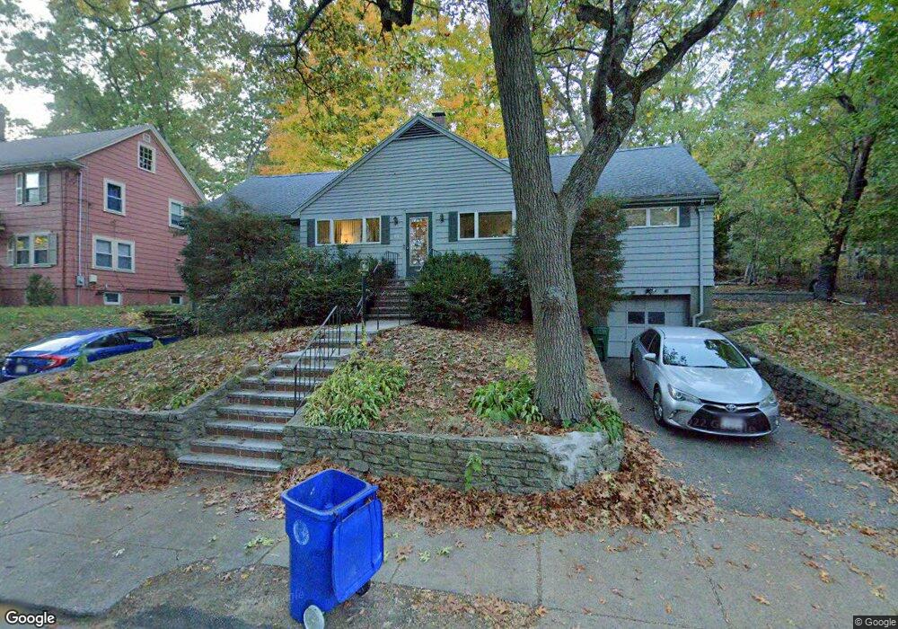
487 Lowell Ave Unit 1 Newtonville, MA 02460
Newtonville NeighborhoodEstimated Value: $689,000 - $828,000
2
Beds
4
Baths
1,240
Sq Ft
$607/Sq Ft
Est. Value
About This Home
This home is located at 487 Lowell Ave Unit 1, Newtonville, MA 02460 and is currently estimated at $753,116, approximately $607 per square foot. 487 Lowell Ave Unit 1 is a home located in Middlesex County with nearby schools including Cabot Elementary School, F.A. Day Middle School, and Newton North High School.
Ownership History
Date
Name
Owned For
Owner Type
Purchase Details
Closed on
May 15, 2023
Sold by
Cohen Adele K Est and Sullivan
Bought by
Bhutta Adeel A and Hina Gul
Current Estimated Value
Home Financials for this Owner
Home Financials are based on the most recent Mortgage that was taken out on this home.
Original Mortgage
$608,000
Outstanding Balance
$589,555
Interest Rate
6.32%
Mortgage Type
Purchase Money Mortgage
Estimated Equity
$163,561
Create a Home Valuation Report for This Property
The Home Valuation Report is an in-depth analysis detailing your home's value as well as a comparison with similar homes in the area
Home Values in the Area
Average Home Value in this Area
Purchase History
| Date | Buyer | Sale Price | Title Company |
|---|---|---|---|
| Bhutta Adeel A | $640,000 | None Available | |
| Bhutta Adeel A | $640,000 | None Available |
Source: Public Records
Mortgage History
| Date | Status | Borrower | Loan Amount |
|---|---|---|---|
| Open | Bhutta Adeel A | $608,000 | |
| Closed | Bhutta Adeel A | $608,000 |
Source: Public Records
Tax History Compared to Growth
Tax History
| Year | Tax Paid | Tax Assessment Tax Assessment Total Assessment is a certain percentage of the fair market value that is determined by local assessors to be the total taxable value of land and additions on the property. | Land | Improvement |
|---|---|---|---|---|
| 2025 | $6,574 | $670,800 | $0 | $670,800 |
| 2024 | $6,357 | $651,300 | $0 | $651,300 |
| 2023 | $6,221 | $611,100 | $0 | $611,100 |
| 2022 | $6,123 | $582,000 | $0 | $582,000 |
| 2021 | $4,149 | $549,100 | $0 | $549,100 |
| 2020 | $5,733 | $549,100 | $0 | $549,100 |
| 2019 | $5,571 | $533,100 | $0 | $533,100 |
| 2018 | $5,569 | $514,700 | $0 | $514,700 |
| 2017 | $5,400 | $485,600 | $0 | $485,600 |
| 2016 | $5,164 | $453,800 | $0 | $453,800 |
| 2015 | $5,018 | $432,200 | $0 | $432,200 |
Source: Public Records
Map
Nearby Homes
- 61 Lakeview Ave
- 308 Prince St
- 887 Commonwealth Ave
- 34 Morton Rd
- 39 Valentine Park
- 22 Walnut Place Unit 1
- 123-125 Mount Vernon St
- 123 Mount Vernon St Unit 2
- 54 Garland Rd
- 3 Cedar St
- 300 Cabot St
- 318 Austin St Unit A
- 1114 Beacon St Unit 106
- 1114 Beacon St Unit 203
- 1114 Beacon St Unit 111
- 1114 Beacon St Unit 206
- 1114 Beacon St Unit 104
- 1114 Beacon St Unit 207
- 957 Washington St Unit 1
- 935 Washington St Unit 8
- 487 Lowell Ave Unit 2
- 495 Lowell Ave
- 495 Lowell Ave Unit 1
- 497 Lowell Ave
- 497 Lowell Ave Unit 2
- 497 Lowell Ave Unit 1
- 73 Oak Cliff Rd
- 490 Lowell Ave
- 490 Lowell Ave Unit 1
- 488 Lowell Ave Unit 490
- 484 Lowell Ave Unit 2
- 484 Lowell Ave Unit 1
- 501 Lowell Ave Unit 1
- 501 Lowell Ave
- 501 Lowell Ave Unit 501
- 503 Lowell Ave
- 503 Lowell Ave Unit 1
- 478 Lowell Ave Unit 480
- 67 Oak Cliff Rd
- 500 Lowell Ave Unit 2