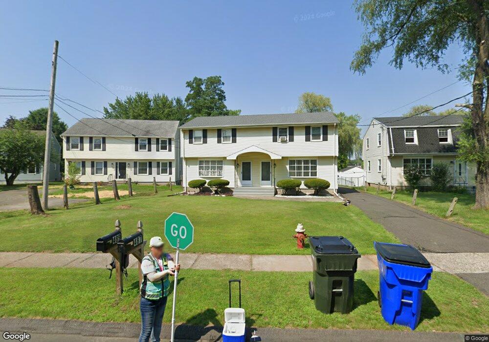
487 Middletown Ave Unit 489 Wethersfield, CT 06109
Estimated Value: $437,000 - $486,062
6
Beds
3
Baths
2,156
Sq Ft
$215/Sq Ft
Est. Value
About This Home
This home is located at 487 Middletown Ave Unit 489, Wethersfield, CT 06109 and is currently estimated at $463,266, approximately $214 per square foot. 487 Middletown Ave Unit 489 is a home located in Hartford County with nearby schools including Alfred W. Hanmer School, Woodcrest Elementary School, and Silas Deane Middle School.
Ownership History
Date
Name
Owned For
Owner Type
Purchase Details
Closed on
Aug 15, 2000
Sold by
Chamberlain Deanna R and Newland Joanne
Bought by
Nguyen Vientuong and Nguyen Thanhtung
Current Estimated Value
Home Financials for this Owner
Home Financials are based on the most recent Mortgage that was taken out on this home.
Original Mortgage
$101,500
Outstanding Balance
$41,356
Interest Rate
9.99%
Estimated Equity
$421,910
Create a Home Valuation Report for This Property
The Home Valuation Report is an in-depth analysis detailing your home's value as well as a comparison with similar homes in the area
Home Values in the Area
Average Home Value in this Area
Purchase History
| Date | Buyer | Sale Price | Title Company |
|---|---|---|---|
| Nguyen Vientuong | $145,000 | -- |
Source: Public Records
Mortgage History
| Date | Status | Borrower | Loan Amount |
|---|---|---|---|
| Open | Nguyen Vientuong | $101,500 | |
| Previous Owner | Nguyen Vientuong | $140,000 |
Source: Public Records
Tax History Compared to Growth
Tax History
| Year | Tax Paid | Tax Assessment Tax Assessment Total Assessment is a certain percentage of the fair market value that is determined by local assessors to be the total taxable value of land and additions on the property. | Land | Improvement |
|---|---|---|---|---|
| 2025 | $10,981 | $266,410 | $78,470 | $187,940 |
| 2024 | $6,639 | $153,610 | $62,460 | $91,150 |
| 2023 | $6,418 | $153,610 | $62,460 | $91,150 |
| 2022 | $6,310 | $153,610 | $62,460 | $91,150 |
| 2021 | $6,247 | $153,610 | $62,460 | $91,150 |
| 2020 | $6,250 | $153,610 | $62,460 | $91,150 |
| 2019 | $6,258 | $153,610 | $62,460 | $91,150 |
| 2018 | $6,182 | $151,600 | $58,500 | $93,100 |
| 2017 | $6,029 | $151,600 | $58,500 | $93,100 |
| 2016 | $5,843 | $151,600 | $58,500 | $93,100 |
| 2015 | $5,790 | $151,600 | $58,500 | $93,100 |
| 2014 | $5,570 | $151,600 | $58,500 | $93,100 |
Source: Public Records
Map
Nearby Homes
- 231 Charter Rd
- 650 Maple St
- 1610 Silas Deane Hwy
- 177 Spring St Unit 177
- 155 Prospect St
- 12 Colonial Dr Unit C
- 18 Colonial Dr Unit A
- 28 Colonial Dr Unit D
- 34 Clayton Dr
- 37 Two Stone Dr
- 48 Sharon Ln
- 108 Chamberlain Rd
- 59 Chapin Ave
- 35 Stillwold Dr
- 211 Fairlane Dr
- 43 Dudley Rd
- 88 Highland St
- 373 Prospect St
- 140 Edward St
- 74 Grimes Rd
- 497 Middletown Ave Unit 499
- 491 Middletown Ave Unit 493
- 493 Middletown Ave
- 483 Middletown Ave
- 481 Middletown Ave Unit 483
- 467 Middletown Ave Unit 469
- 465 Middletown Ave Unit 465A
- 461 Middletown Ave Unit 463
- 456 Middletown Ave
- 520 Middletown Ave Unit 522
- 449 Middletown Ave
- 10 Casey Ln
- 444 Middletown Ave
- 14 Casey Ln
- 443 Middletown Ave
- 20 Casey Ln
- 439 Middletown Ave
- 432 Middletown Ave
- 22 Casey Ln
- 433 Middletown Ave