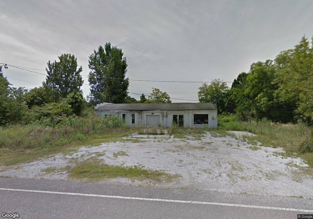
487 Shady Grove Rd Manchester, TN 37355
Estimated Value: $22,014 - $233,000
--
Bed
--
Bath
3,584
Sq Ft
$36/Sq Ft
Est. Value
About This Home
This home is located at 487 Shady Grove Rd, Manchester, TN 37355 and is currently estimated at $127,507, approximately $35 per square foot. 487 Shady Grove Rd is a home with nearby schools including East Coffee Elementary School, Coffee County Middle School, and Coffee County Central High School.
Ownership History
Date
Name
Owned For
Owner Type
Purchase Details
Closed on
Sep 21, 2010
Sold by
Peltier Deborah
Bought by
Mcconnell Brittany Anne
Current Estimated Value
Purchase Details
Closed on
Jun 26, 2008
Sold by
Alley Barbara
Bought by
Peltier Deborah
Purchase Details
Closed on
May 14, 2003
Sold by
Alley Bill and Alley Barbara
Bought by
Alban Teresa
Purchase Details
Closed on
Apr 12, 2001
Sold by
Fried Michael W
Bought by
Alley Bill and Alley Barbara
Home Financials for this Owner
Home Financials are based on the most recent Mortgage that was taken out on this home.
Original Mortgage
$26,959
Interest Rate
6.99%
Mortgage Type
Commercial
Purchase Details
Closed on
Nov 23, 1999
Sold by
Fried Mitchell
Bought by
Fried Mitchell W
Purchase Details
Closed on
Dec 2, 1988
Purchase Details
Closed on
Apr 28, 1988
Create a Home Valuation Report for This Property
The Home Valuation Report is an in-depth analysis detailing your home's value as well as a comparison with similar homes in the area
Home Values in the Area
Average Home Value in this Area
Purchase History
| Date | Buyer | Sale Price | Title Company |
|---|---|---|---|
| Mcconnell Brittany Anne | $8,000 | -- | |
| Peltier Deborah | -- | -- | |
| Alban Teresa | -- | -- | |
| Alley Bill | $25,000 | -- | |
| Fried Mitchell W | -- | -- | |
| -- | $12,000 | -- | |
| -- | $7,500 | -- |
Source: Public Records
Mortgage History
| Date | Status | Borrower | Loan Amount |
|---|---|---|---|
| Previous Owner | -- | $26,959 |
Source: Public Records
Tax History Compared to Growth
Tax History
| Year | Tax Paid | Tax Assessment Tax Assessment Total Assessment is a certain percentage of the fair market value that is determined by local assessors to be the total taxable value of land and additions on the property. | Land | Improvement |
|---|---|---|---|---|
| 2024 | $143 | $6,150 | $3,150 | $3,000 |
| 2023 | $143 | $6,150 | $0 | $0 |
| 2022 | $143 | $6,150 | $3,150 | $3,000 |
| 2021 | $144 | $4,900 | $2,225 | $2,675 |
| 2020 | $144 | $4,900 | $2,225 | $2,675 |
| 2019 | $144 | $4,900 | $2,225 | $2,675 |
| 2018 | $144 | $4,900 | $2,225 | $2,675 |
| 2017 | $197 | $6,025 | $2,600 | $3,425 |
| 2016 | $197 | $6,025 | $2,600 | $3,425 |
| 2015 | $197 | $6,025 | $2,600 | $3,425 |
| 2014 | $197 | $6,030 | $0 | $0 |
Source: Public Records
Map
Nearby Homes
- 2498 Sp Anderson Rd
- 667 Pete Sain Rd
- 7807 McMinnville Hwy Unit 7807
- 0 Ramsey Rd
- 0 Pete Sain Rd
- 363 Willow Brook Dr
- 300 Willow Brook Dr
- 2635 Pete Sain Rd
- 0 Mcafee Rd
- 0 Mcafee E Unit RTC2865293
- 837 Circle Dr
- 781 Circle Dr
- 967 Mud Creek Rd
- 1037 Mcafee Rd
- 670 Old McMinnville Hwy
- 1694 Mcafee Rd
- 89 Saddle St
- 231 Tom Johnson Rd
- 4282 McMinnville Hwy Unit 4270
- 105 Barbara Spears Rd
- 490 Shady Grove Rd
- 551 Shady Grove Rd
- 397 Shady Grove Rd
- 569 Shady Grove Rd
- 1296 Summitville Rd
- 380 Shady Grove Rd
- 351 Shady Grove Rd
- 1230 Summitville Rd
- 637 Shady Grove Rd
- 1223 Summitville Rd
- 287 Shady Grove Rd
- 13 School St
- 1445 Summitville Rd
- 1477 Summitville Rd
- 667 Old Pocahontas Rd
- 241 Onderka Ln
- 1121 Summitville Rd
- 1588 Summitville Rd
- 1497 Summitville Rd
- 210 Shady Grove Rd