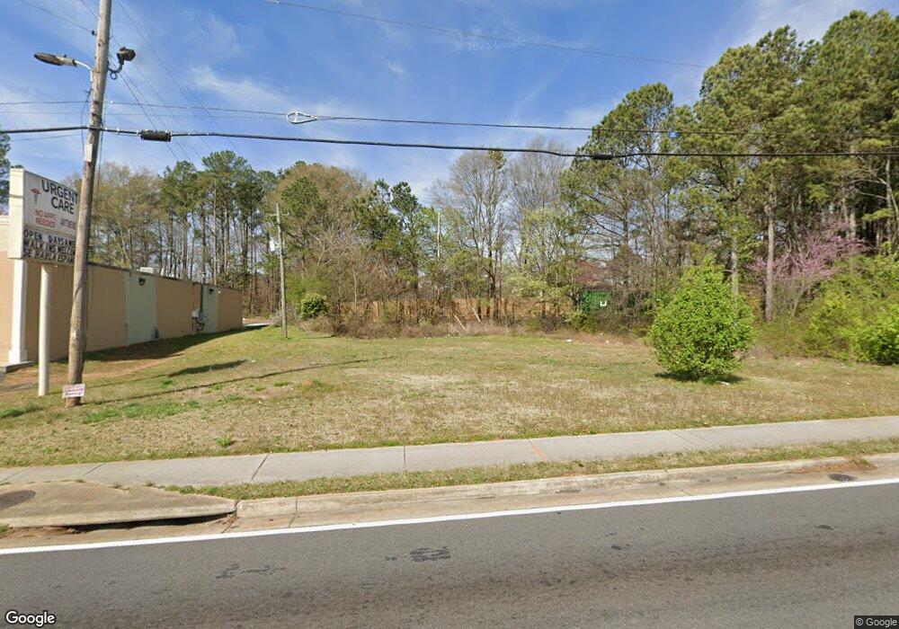
4878 Austell Rd Austell, GA 30106
Estimated Value: $65,913
--
Bed
--
Bath
--
Sq Ft
0.31
Acres
About This Home
This home is located at 4878 Austell Rd, Austell, GA 30106 and is currently estimated at $65,913. 4878 Austell Rd is a home located in Cobb County with nearby schools including Deerwood Elementary School, Clarkdale Elementary School, and Garrett Middle School.
Ownership History
Date
Name
Owned For
Owner Type
Purchase Details
Closed on
Feb 6, 2015
Sold by
Siegel 4878 Austell Road Llc
Bought by
Popol Llc
Current Estimated Value
Purchase Details
Closed on
Mar 3, 2009
Sold by
Taylor Latonga
Bought by
Highland Finl Cap Grp Llc
Home Financials for this Owner
Home Financials are based on the most recent Mortgage that was taken out on this home.
Original Mortgage
$65,500
Interest Rate
5.37%
Mortgage Type
Trade
Purchase Details
Closed on
Dec 21, 2006
Sold by
Ward Stanley L
Bought by
Taylor Latonga
Home Financials for this Owner
Home Financials are based on the most recent Mortgage that was taken out on this home.
Original Mortgage
$50,000
Interest Rate
6.19%
Mortgage Type
Trade
Purchase Details
Closed on
Feb 21, 2005
Sold by
Johns Paul H
Bought by
Ward Stanley
Create a Home Valuation Report for This Property
The Home Valuation Report is an in-depth analysis detailing your home's value as well as a comparison with similar homes in the area
Home Values in the Area
Average Home Value in this Area
Purchase History
| Date | Buyer | Sale Price | Title Company |
|---|---|---|---|
| Popol Llc | $30,000 | -- | |
| Highland Finl Cap Grp Llc | $80,805 | -- | |
| Taylor Latonga | $75,000 | -- | |
| Ward Stanley | $25,000 | -- |
Source: Public Records
Mortgage History
| Date | Status | Borrower | Loan Amount |
|---|---|---|---|
| Previous Owner | Highland Finl Cap Grp Llc | $65,500 | |
| Previous Owner | Taylor Latonga | $50,000 |
Source: Public Records
Tax History Compared to Growth
Tax History
| Year | Tax Paid | Tax Assessment Tax Assessment Total Assessment is a certain percentage of the fair market value that is determined by local assessors to be the total taxable value of land and additions on the property. | Land | Improvement |
|---|---|---|---|---|
| 2025 | $1,292 | $42,892 | $42,652 | $240 |
| 2024 | $1,436 | $47,640 | $47,440 | $200 |
| 2023 | $1,436 | $47,640 | $47,440 | $200 |
| 2022 | $1,335 | $43,992 | $43,792 | $200 |
| 2021 | $1,335 | $43,992 | $43,792 | $200 |
| 2020 | $1,335 | $43,992 | $43,792 | $200 |
| 2019 | $1,334 | $43,952 | $43,792 | $160 |
| 2018 | $1,334 | $43,952 | $43,792 | $160 |
| 2017 | $1,264 | $43,952 | $43,792 | $160 |
| 2016 | $1,054 | $36,652 | $36,492 | $160 |
| 2015 | $1,080 | $36,652 | $36,492 | $160 |
| 2014 | $594 | $20,000 | $20,000 | $0 |
Source: Public Records
Map
Nearby Homes
- 4809 Hemlock Dr
- 4882 Golden Dr SW
- 2179 Warren Dr
- 2236 Clay Rd
- 2125 Clay Rd SW
- 5164 Medford Ln
- 5154 Medford Ln
- 4582 Austell Rd
- Bayberry Plan at Sawmill Creek - Bungalow Series
- Wisteria Plan at Sawmill Creek - Bungalow Series
- Redbud Plan at Sawmill Creek - Bungalow Series
- 2276 Clay Rd SW
- 1675 Huntcrest Park SW
- 1 Perkerson Mill Rd SW
- Laurel Plan at Avenbrook
- Rosedale Plan at Avenbrook
- Fulmont at Avenbrook Plan at Avenbrook
- Addison Plan at Avenbrook
- Conley Plan at Avenbrook
- 4747 Nelda Dr
- 4898 Austell Rd
- 1981 Warren Dr
- 1991 Warren Dr
- 4840 Austell Rd
- 2003 Warren Dr
- 1990 Warren Dr
- 2013 Warren Dr
- 2000 Warren Dr
- 1961 Evergreen Dr
- 1981 Evergreen Dr
- 2014 Warren Dr
- 2023 Warren Dr
- 1999 Evergreen Dr
- 2026 Warren Dr
- 2033 Warren Dr
- 2017 Evergreen Dr
- 1960 Evergreen Dr
- 1980 Evergreen Dr
- 2040 Warren Dr
- 2043 Warren Dr