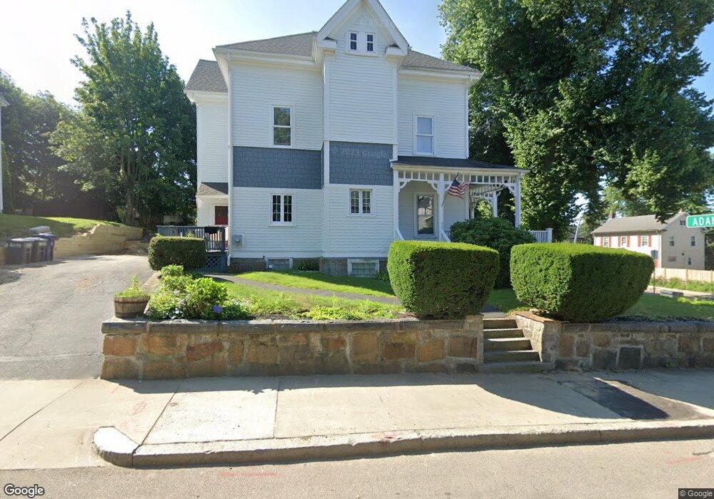
488 Adams St Dorchester, MA 02122
Neponset-Port Norfolk NeighborhoodEstimated Value: $1,023,575 - $1,335,000
4
Beds
3
Baths
2,985
Sq Ft
$392/Sq Ft
Est. Value
About This Home
This home is located at 488 Adams St, Dorchester, MA 02122 and is currently estimated at $1,171,394, approximately $392 per square foot. 488 Adams St is a home located in Suffolk County with nearby schools including Neighborhood House Charter School and Helen Y. Davis Leadership Academy Charter Public School.
Ownership History
Date
Name
Owned For
Owner Type
Purchase Details
Closed on
Jun 18, 2025
Sold by
Danilecki Ft and Danilecki
Bought by
488 Adams Street Rt and Danilecki
Current Estimated Value
Purchase Details
Closed on
Jun 14, 2022
Sold by
Danilecki Helen P
Bought by
Danilecki Ft 2016 and Danilecki
Purchase Details
Closed on
May 3, 2017
Sold by
Danilecki Ft 2016 and Danileck
Bought by
Danilecki Helen P and Danilecki Henry J
Purchase Details
Closed on
Oct 14, 2016
Sold by
Danilecki Helen P and Danilecki Henry J
Bought by
Danilecki Ft 2016 and Danilecki
Create a Home Valuation Report for This Property
The Home Valuation Report is an in-depth analysis detailing your home's value as well as a comparison with similar homes in the area
Home Values in the Area
Average Home Value in this Area
Purchase History
| Date | Buyer | Sale Price | Title Company |
|---|---|---|---|
| 488 Adams Street Rt | -- | None Available | |
| 488 Adams Street Rt | -- | None Available | |
| Danilecki Ft 2016 | -- | None Available | |
| Danilecki Ft 2016 | -- | None Available | |
| Danilecki Helen P | -- | -- | |
| Danilecki Helen P | -- | -- | |
| Danilecki Ft 2016 | -- | -- | |
| Danilecki Ft 2016 | -- | -- |
Source: Public Records
Tax History Compared to Growth
Tax History
| Year | Tax Paid | Tax Assessment Tax Assessment Total Assessment is a certain percentage of the fair market value that is determined by local assessors to be the total taxable value of land and additions on the property. | Land | Improvement |
|---|---|---|---|---|
| 2025 | $10,717 | $925,500 | $319,000 | $606,500 |
| 2024 | $10,445 | $958,300 | $276,400 | $681,900 |
| 2023 | $9,617 | $895,400 | $258,300 | $637,100 |
| 2022 | $9,274 | $852,400 | $245,900 | $606,500 |
| 2021 | $8,654 | $811,100 | $238,700 | $572,400 |
| 2020 | $7,998 | $757,400 | $235,900 | $521,500 |
| 2019 | $7,395 | $701,600 | $184,100 | $517,500 |
| 2018 | $6,870 | $655,500 | $184,100 | $471,400 |
| 2017 | $4,995 | $471,663 | $149,121 | $322,542 |
| 2016 | $5,936 | $539,600 | $184,100 | $355,500 |
| 2015 | $5,469 | $451,600 | $137,300 | $314,300 |
| 2014 | $5,357 | $425,800 | $137,300 | $288,500 |
Source: Public Records
Map
Nearby Homes
- 41 King St Unit 1
- 543 Adams St Unit 24
- 20 Leslie St
- 96 King St Unit 1
- 334 Centre St Unit 101
- 334 Centre St Unit 2
- 104 King St Unit 2
- 17 Lafield St Unit 2
- 108 King St Unit 3
- 80-84 Shepton St Unit 80-3
- 51 Florida St Unit 3
- 6 Agawam St
- 381 Adams St Unit 2
- 381 Adams St Unit 1
- 381 Adams St Unit 3
- 28 Dix St Unit 3
- 34 Dix St Unit 3
- 382 Adams St Unit 384-1
- 61 Shepton St
- 3 N Munroe Terrace
- 494 Adams St
- 77 King St
- 77 King St Unit 2
- 10 Rosemont St
- 496 Adams St
- 18 Rosemont St
- 61 King St Unit 63
- 61 King St Unit 1
- 83 King St Unit 1
- 83 King St
- 83 King St Unit 2
- 473 Adams St Unit 3
- 473 Adams St Unit 2
- 473 Adams St Unit 1
- 473 Adams St
- 505 Adams St
- 22 Rosemont St
- 59 King St
- 59 King St Unit 2
- 94 Saint Marks Rd Unit 96