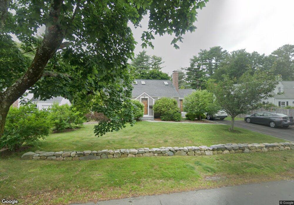
49 Lakeshore Dr Westwood, MA 02090
Estimated Value: $1,002,000 - $1,219,000
4
Beds
2
Baths
1,571
Sq Ft
$691/Sq Ft
Est. Value
About This Home
This home is located at 49 Lakeshore Dr, Westwood, MA 02090 and is currently estimated at $1,085,327, approximately $690 per square foot. 49 Lakeshore Dr is a home located in Norfolk County with nearby schools including Westwood High School, St Catherine Of Siena School, and Xaverian Brothers High School.
Ownership History
Date
Name
Owned For
Owner Type
Purchase Details
Closed on
Mar 13, 2025
Sold by
Gavin Brendan A and Gavin Kathryn A
Bought by
Gavin Ft and Gavin
Current Estimated Value
Purchase Details
Closed on
Dec 30, 2009
Sold by
Murray Robert F
Bought by
Gavin Brendan A and Gavin Kathryn A
Home Financials for this Owner
Home Financials are based on the most recent Mortgage that was taken out on this home.
Original Mortgage
$285,000
Interest Rate
4.85%
Mortgage Type
Purchase Money Mortgage
Create a Home Valuation Report for This Property
The Home Valuation Report is an in-depth analysis detailing your home's value as well as a comparison with similar homes in the area
Home Values in the Area
Average Home Value in this Area
Purchase History
| Date | Buyer | Sale Price | Title Company |
|---|---|---|---|
| Gavin Ft | -- | None Available | |
| Gavin Ft | -- | None Available | |
| Gavin Brendan A | $425,000 | -- | |
| Gavin Brendan A | $425,000 | -- |
Source: Public Records
Mortgage History
| Date | Status | Borrower | Loan Amount |
|---|---|---|---|
| Previous Owner | Gavin Brendan A | $294,823 | |
| Previous Owner | Gavin Brendan A | $285,000 | |
| Previous Owner | Gavin Brendan A | $50,000 |
Source: Public Records
Tax History Compared to Growth
Tax History
| Year | Tax Paid | Tax Assessment Tax Assessment Total Assessment is a certain percentage of the fair market value that is determined by local assessors to be the total taxable value of land and additions on the property. | Land | Improvement |
|---|---|---|---|---|
| 2025 | $10,761 | $840,700 | $447,200 | $393,500 |
| 2024 | $10,297 | $803,800 | $425,900 | $377,900 |
| 2023 | $9,136 | $638,900 | $355,000 | $283,900 |
| 2022 | $8,862 | $597,600 | $313,700 | $283,900 |
| 2021 | $9,099 | $615,650 | $298,850 | $316,800 |
| 2020 | $8,569 | $590,550 | $298,850 | $291,700 |
| 2019 | $8,328 | $568,450 | $284,550 | $283,900 |
| 2018 | $7,918 | $524,700 | $284,550 | $240,150 |
| 2017 | $7,724 | $530,150 | $284,550 | $245,600 |
| 2016 | $7,605 | $518,750 | $284,550 | $234,200 |
| 2015 | $6,882 | $451,600 | $284,550 | $167,050 |
Source: Public Records
Map
Nearby Homes
- 43 Lakeshore Dr
- 55 Lakeshore Dr
- 42 Lakeshore Dr
- 37 Lakeshore Dr
- 38 Lakeshore Dr
- 52 Lakeshore Dr
- 59 Lakeshore Dr
- 56 Lakeshore Dr
- 34 Lakeshore Dr
- 31 Lakeshore Dr
- 67 Lakeshore Dr
- 68 Lakeshore Dr
- 30 Lakeshore Dr
- 60 Lakeshore Dr
- 76 Sexton Ave
- 82 Sexton Ave
- 72 Sexton Ave
- 64 Sexton Ave
- 94 Sexton Ave
- 75 Lakeshore Dr