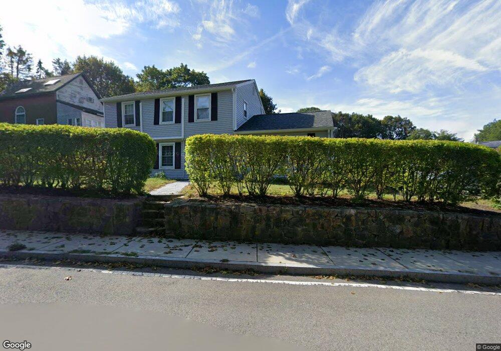
49 Reynard St Gloucester, MA 01930
Estimated Value: $651,000 - $786,000
3
Beds
2
Baths
1,728
Sq Ft
$402/Sq Ft
Est. Value
About This Home
This home is located at 49 Reynard St, Gloucester, MA 01930 and is currently estimated at $694,086, approximately $401 per square foot. 49 Reynard St is a home located in Essex County with nearby schools including Beeman Memorial, Ralph B O'maley Middle School, and Faith Christian School.
Ownership History
Date
Name
Owned For
Owner Type
Purchase Details
Closed on
Dec 5, 2008
Sold by
Ciluffo Joseph M
Bought by
Ciluffo Katherine M
Current Estimated Value
Home Financials for this Owner
Home Financials are based on the most recent Mortgage that was taken out on this home.
Original Mortgage
$268,000
Outstanding Balance
$176,907
Interest Rate
6.11%
Estimated Equity
$517,179
Purchase Details
Closed on
Jun 3, 1997
Sold by
Herrmann Joan B
Bought by
Ciluffo Katherine M and Ciluffo Joseph M
Create a Home Valuation Report for This Property
The Home Valuation Report is an in-depth analysis detailing your home's value as well as a comparison with similar homes in the area
Home Values in the Area
Average Home Value in this Area
Purchase History
| Date | Buyer | Sale Price | Title Company |
|---|---|---|---|
| Ciluffo Katherine M | -- | -- | |
| Ciluffo Katherine M | $139,000 | -- |
Source: Public Records
Mortgage History
| Date | Status | Borrower | Loan Amount |
|---|---|---|---|
| Open | Ciluffo Katherine M | $268,000 | |
| Previous Owner | Ciluffo Katherine M | $31,499 |
Source: Public Records
Tax History Compared to Growth
Tax History
| Year | Tax Paid | Tax Assessment Tax Assessment Total Assessment is a certain percentage of the fair market value that is determined by local assessors to be the total taxable value of land and additions on the property. | Land | Improvement |
|---|---|---|---|---|
| 2025 | $5,398 | $555,400 | $156,800 | $398,600 |
| 2024 | $5,332 | $548,000 | $149,400 | $398,600 |
| 2023 | $5,095 | $481,100 | $133,400 | $347,700 |
| 2022 | $4,928 | $420,100 | $116,000 | $304,100 |
| 2021 | $4,751 | $381,900 | $105,400 | $276,500 |
| 2020 | $4,764 | $386,400 | $105,400 | $281,000 |
| 2019 | $4,520 | $356,200 | $105,400 | $250,800 |
| 2018 | $4,324 | $334,400 | $105,400 | $229,000 |
| 2017 | $4,187 | $317,400 | $100,400 | $217,000 |
| 2016 | $4,050 | $297,600 | $104,800 | $192,800 |
| 2015 | $3,856 | $282,500 | $104,800 | $177,700 |
Source: Public Records
Map
Nearby Homes
- 18 Cherry St
- 65 Poplar St
- 19 Mystic Ave
- 78 Grove St
- 6 Beauport Ave
- 49 Thurston Point Rd
- 109 Riverview Rd
- 40 Sargent St
- 196 Washington St
- 3 Stone Ct
- 119 Pleasant St
- 33 Maplewood Ave Unit 21
- 15 Harvard St
- 4 Mount Vernon St
- 8 Summer St Unit 103
- 22 Taylor St Unit 1
- 5 Washington Square
- 90 Middle St Unit L
- 160 Prospect St Unit 3
- 29 Harrison Ave