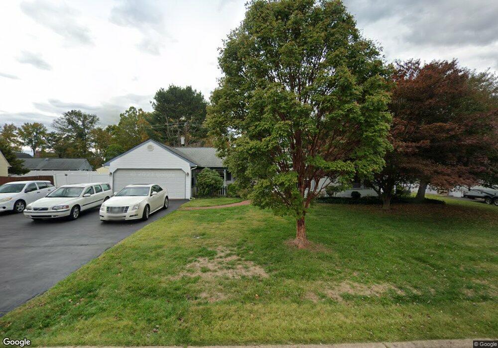
49 Smoketree Rd Levittown, PA 19056
Snowball Gate NeighborhoodEstimated Value: $490,000 - $523,000
3
Beds
2
Baths
2,063
Sq Ft
$243/Sq Ft
Est. Value
About This Home
This home is located at 49 Smoketree Rd, Levittown, PA 19056 and is currently estimated at $501,857, approximately $243 per square foot. 49 Smoketree Rd is a home located in Bucks County with nearby schools including Albert Schweitzer Elementary School, Sandburg Middle School, and Neshaminy High School.
Ownership History
Date
Name
Owned For
Owner Type
Purchase Details
Closed on
Oct 29, 2024
Sold by
Faridy Lynne E
Bought by
Lynne E Faridy Revocable Living Trust and Faridy
Current Estimated Value
Purchase Details
Closed on
Aug 20, 2015
Sold by
Faridy Lynne E
Bought by
Faridy Lynne E and Faridy Jamil E
Purchase Details
Closed on
Jun 4, 1985
Bought by
Coley George J and Coley Karen J
Create a Home Valuation Report for This Property
The Home Valuation Report is an in-depth analysis detailing your home's value as well as a comparison with similar homes in the area
Home Values in the Area
Average Home Value in this Area
Purchase History
| Date | Buyer | Sale Price | Title Company |
|---|---|---|---|
| Lynne E Faridy Revocable Living Trust | -- | None Listed On Document | |
| Faridy Lynne E | -- | Attorney | |
| Coley George J | $77,000 | -- |
Source: Public Records
Tax History Compared to Growth
Tax History
| Year | Tax Paid | Tax Assessment Tax Assessment Total Assessment is a certain percentage of the fair market value that is determined by local assessors to be the total taxable value of land and additions on the property. | Land | Improvement |
|---|---|---|---|---|
| 2025 | $6,644 | $30,520 | $6,040 | $24,480 |
| 2024 | $6,644 | $30,520 | $6,040 | $24,480 |
| 2023 | $6,539 | $30,520 | $6,040 | $24,480 |
| 2022 | $6,367 | $30,520 | $6,040 | $24,480 |
| 2021 | $6,367 | $30,520 | $6,040 | $24,480 |
| 2020 | $6,291 | $30,520 | $6,040 | $24,480 |
| 2019 | $6,150 | $30,520 | $6,040 | $24,480 |
| 2018 | $6,037 | $30,520 | $6,040 | $24,480 |
| 2017 | $5,883 | $30,520 | $6,040 | $24,480 |
| 2016 | $5,883 | $30,520 | $6,040 | $24,480 |
| 2015 | $6,073 | $30,520 | $6,040 | $24,480 |
| 2014 | $6,073 | $30,520 | $6,040 | $24,480 |
Source: Public Records
Map
Nearby Homes
- 301 Snowball Dr
- 283 Snowball Dr
- 94 Juniper Dr
- L:070 Trenton Rd
- 7 Canal Rd
- 14 Cleft Rock Rd
- 75 Flamehill Rd
- 28 Cloister Rd
- 23 Crystal Place
- 46 Hydrangea Rd
- 19 Cobalt Ridge Dr N
- 0 Fir Ave
- 14 Harp Rd
- 43 Petunia Rd
- 212 Plumbridge Dr
- 18 Harvest Rd
- 62 Indian Creek Dr
- 35 Parkside Cir
- 26 Queen Lily Rd
- 212 Apple St
- 55 Smoketree Rd
- 43 Smoketree Rd
- 54 Steeplebush Rd
- 58 Steeplebush Rd
- 50 Smoketree Rd
- 44 Smoketree Rd
- 46 Steeplebush Rd
- 59 Smoketree Rd
- 36 Sweetgum Rd
- 56 Smoketree Rd
- 36 Smoketree Rd
- 38 Steeplebush Rd
- 57 Steeplebush Rd
- 52 Sweetgum Rd
- 41 Sugarplum Rd
- 57 Spicebush Rd
- 47 Sugarplum Rd
- 61 Steeplebush Rd
- 35 Smoketree Rd
- 53 Sugarplum Rd