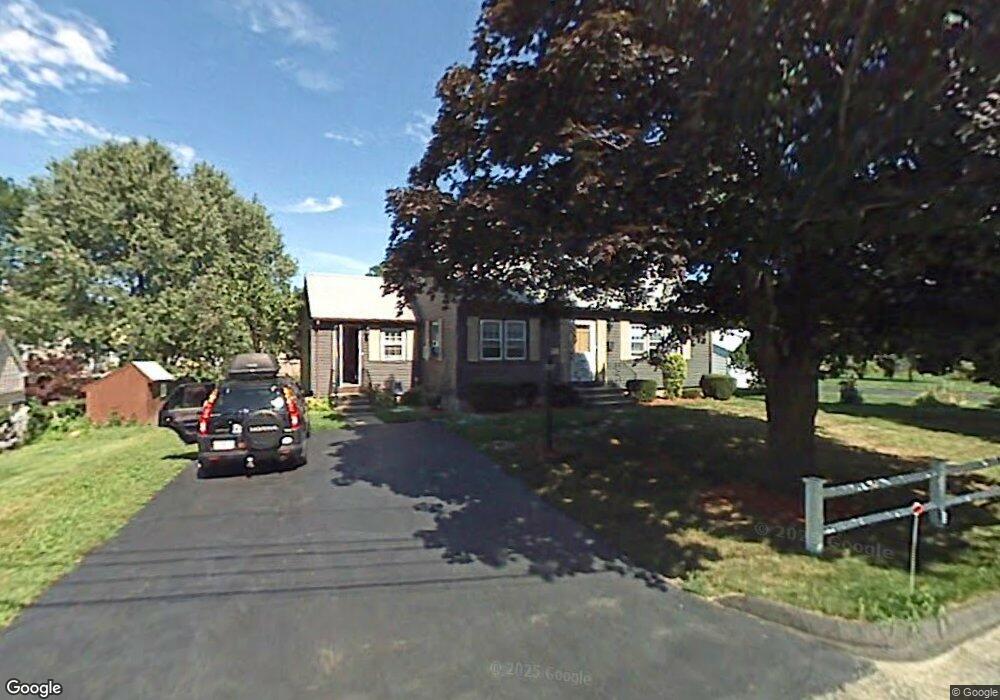
49 West St Westborough, MA 01581
Estimated Value: $610,949 - $701,000
3
Beds
2
Baths
1,397
Sq Ft
$467/Sq Ft
Est. Value
About This Home
This home is located at 49 West St, Westborough, MA 01581 and is currently estimated at $652,987, approximately $467 per square foot. 49 West St is a home located in Worcester County with nearby schools including Westborough High School, Ebridge Montessori School, and Westboro Knowledge Beginnings.
Create a Home Valuation Report for This Property
The Home Valuation Report is an in-depth analysis detailing your home's value as well as a comparison with similar homes in the area
Home Values in the Area
Average Home Value in this Area
Tax History Compared to Growth
Tax History
| Year | Tax Paid | Tax Assessment Tax Assessment Total Assessment is a certain percentage of the fair market value that is determined by local assessors to be the total taxable value of land and additions on the property. | Land | Improvement |
|---|---|---|---|---|
| 2025 | $8,440 | $518,100 | $309,200 | $208,900 |
| 2024 | $8,008 | $488,000 | $287,400 | $200,600 |
| 2023 | $7,661 | $454,900 | $268,900 | $186,000 |
| 2022 | $7,159 | $387,200 | $215,900 | $171,300 |
| 2021 | $7,134 | $384,800 | $213,500 | $171,300 |
| 2020 | $6,832 | $372,900 | $201,600 | $171,300 |
| 2019 | $6,392 | $348,700 | $193,700 | $155,000 |
| 2018 | $5,811 | $314,800 | $177,900 | $136,900 |
| 2017 | $5,603 | $314,800 | $177,900 | $136,900 |
| 2016 | $5,409 | $304,400 | $177,900 | $126,500 |
| 2015 | $5,387 | $289,800 | $177,900 | $111,900 |
Source: Public Records
Map
Nearby Homes
- 19 Fisher St
- 43 Church St
- 6 Folly Ln
- 4403 Peters Farm Way Unit 403
- 14 Grove St Unit 2
- 48 High Street Extension
- 21 South St Unit 31
- 7 Mayberry Dr Unit H
- 22 Treetop Park
- 9 Treetop Park
- 19 Treetop Park Unit 19
- 7 Jennings Rd
- 52 Treetop Park Unit 52
- 23 Water St
- 14 Mayberry Dr Unit 10
- 9 Shaker Way
- 3 Dover Way
- 155 Milk St Unit 5
- 155 Milk St Unit 27
- 75 South St