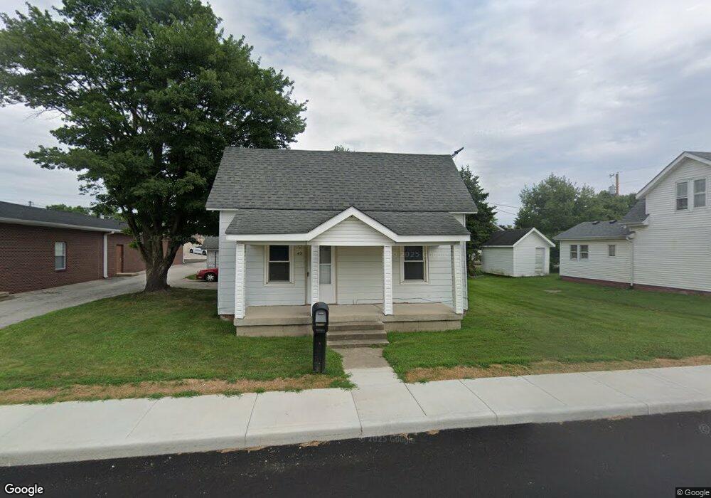
49 West St Whiteland, IN 46184
Estimated Value: $103,000 - $188,000
1
Bed
1
Bath
703
Sq Ft
$211/Sq Ft
Est. Value
About This Home
This home is located at 49 West St, Whiteland, IN 46184 and is currently estimated at $148,246, approximately $210 per square foot. 49 West St is a home located in Johnson County with nearby schools including Whiteland Elementary School, Clark-Pleasant Middle School, and Whiteland Community High School.
Ownership History
Date
Name
Owned For
Owner Type
Purchase Details
Closed on
Mar 1, 2013
Sold by
Byrns Charles W and Byrns Vicki S
Bought by
Combest Ii Charles R
Current Estimated Value
Purchase Details
Closed on
Mar 12, 2010
Sold by
Wells Fargo Financial Inc
Bought by
Byrns Charles W and Byrns Vicki S
Purchase Details
Closed on
Jan 21, 2010
Sold by
Mcvey Maurice L
Bought by
Wells Fargo Financial Indiana Inc
Purchase Details
Closed on
Sep 23, 2005
Sold by
Dunmire Michael R
Bought by
Mcvey Maurice L
Home Financials for this Owner
Home Financials are based on the most recent Mortgage that was taken out on this home.
Original Mortgage
$44,200
Interest Rate
8.12%
Mortgage Type
Adjustable Rate Mortgage/ARM
Create a Home Valuation Report for This Property
The Home Valuation Report is an in-depth analysis detailing your home's value as well as a comparison with similar homes in the area
Home Values in the Area
Average Home Value in this Area
Purchase History
| Date | Buyer | Sale Price | Title Company |
|---|---|---|---|
| Combest Ii Charles R | -- | None Available | |
| Byrns Charles W | -- | None Available | |
| Wells Fargo Financial Indiana Inc | $31,800 | None Available | |
| Mcvey Maurice L | -- | Landamerica Lawyers Title |
Source: Public Records
Mortgage History
| Date | Status | Borrower | Loan Amount |
|---|---|---|---|
| Previous Owner | Mcvey Maurice L | $44,200 |
Source: Public Records
Tax History Compared to Growth
Tax History
| Year | Tax Paid | Tax Assessment Tax Assessment Total Assessment is a certain percentage of the fair market value that is determined by local assessors to be the total taxable value of land and additions on the property. | Land | Improvement |
|---|---|---|---|---|
| 2025 | $390 | $86,400 | $21,500 | $64,900 |
| 2024 | $390 | $72,200 | $22,000 | $50,200 |
| 2023 | $400 | $70,400 | $22,000 | $48,400 |
| 2022 | $360 | $56,400 | $14,600 | $41,800 |
| 2021 | $336 | $51,300 | $14,600 | $36,700 |
| 2020 | $313 | $45,900 | $14,600 | $31,300 |
| 2019 | $318 | $45,900 | $14,600 | $31,300 |
| 2018 | $313 | $43,400 | $11,200 | $32,200 |
| 2017 | $317 | $43,300 | $11,200 | $32,100 |
| 2016 | $326 | $43,300 | $11,200 | $32,100 |
| 2014 | $261 | $34,500 | $12,300 | $22,200 |
| 2013 | $261 | $34,200 | $12,300 | $21,900 |
Source: Public Records
Map
Nearby Homes
- 650 E Pearl St
- 630 Walnut St
- 180 Briar Hill Dr
- 510 Greensprings Dr
- 320 Briar Hill Dr
- 657 Whiteland Rd
- 545 Whiteland Rd
- 111 Ames Dr
- Henley Plan at Saddlebrook Farms
- Fairfax Plan at Saddlebrook Farms - North
- 841 E Pearl St
- Henley Plan at Saddlebrook Farms - North
- Freeport Plan at Saddlebrook Farms - North
- Johnstown Plan at Saddlebrook Farms - North
- Dayton Plan at Saddlebrook Farms - North
- Chatham Plan at Saddlebrook Farms - North
- Dayton Plan at Saddlebrook Farms
- Harmony Plan at Saddlebrook Farms - North
- Johnstown Plan at Saddlebrook Farms
- Stamford Plan at Saddlebrook Farms - North