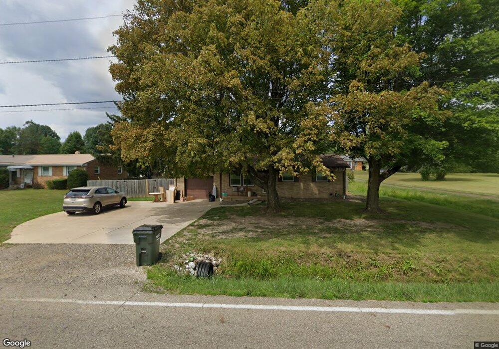
4925 California Ave Louisville, OH 44641
Estimated Value: $184,072 - $230,000
3
Beds
1
Bath
950
Sq Ft
$227/Sq Ft
Est. Value
About This Home
This home is located at 4925 California Ave, Louisville, OH 44641 and is currently estimated at $215,518, approximately $226 per square foot. 4925 California Ave is a home located in Stark County with nearby schools including Louisville High School, East Branch Preparatory Academy Wright Preparatory Academy, and Canton Harbor High School.
Ownership History
Date
Name
Owned For
Owner Type
Purchase Details
Closed on
Jul 17, 2024
Sold by
Knight Jennifer L and Miller Jennifer L
Bought by
Miller Jennifer L
Current Estimated Value
Purchase Details
Closed on
Sep 20, 2001
Sold by
Tesch Jack R and Tesch Jacuqeline M
Bought by
Knight Brian L and Knight Jennifer L
Home Financials for this Owner
Home Financials are based on the most recent Mortgage that was taken out on this home.
Original Mortgage
$100,600
Interest Rate
7.06%
Mortgage Type
FHA
Create a Home Valuation Report for This Property
The Home Valuation Report is an in-depth analysis detailing your home's value as well as a comparison with similar homes in the area
Home Values in the Area
Average Home Value in this Area
Purchase History
| Date | Buyer | Sale Price | Title Company |
|---|---|---|---|
| Miller Jennifer L | -- | None Listed On Document | |
| Knight Brian L | $102,200 | -- |
Source: Public Records
Mortgage History
| Date | Status | Borrower | Loan Amount |
|---|---|---|---|
| Previous Owner | Knight Brian L | $100,600 |
Source: Public Records
Tax History Compared to Growth
Tax History
| Year | Tax Paid | Tax Assessment Tax Assessment Total Assessment is a certain percentage of the fair market value that is determined by local assessors to be the total taxable value of land and additions on the property. | Land | Improvement |
|---|---|---|---|---|
| 2025 | -- | $54,050 | $16,980 | $37,070 |
| 2024 | $1,191 | $54,050 | $16,980 | $37,070 |
| 2023 | $4,783 | $43,370 | $13,760 | $29,610 |
| 2022 | $2,115 | $43,370 | $13,760 | $29,610 |
| 2021 | $2,121 | $43,370 | $13,760 | $29,610 |
| 2020 | $1,787 | $38,610 | $12,390 | $26,220 |
| 2019 | $1,794 | $38,610 | $12,390 | $26,220 |
| 2018 | $1,789 | $38,610 | $12,390 | $26,220 |
| 2017 | $1,621 | $33,400 | $9,280 | $24,120 |
| 2016 | $1,585 | $33,400 | $9,280 | $24,120 |
| 2015 | $1,589 | $33,400 | $9,280 | $24,120 |
| 2014 | $1,599 | $31,090 | $8,650 | $22,440 |
| 2013 | $803 | $31,090 | $8,650 | $22,440 |
Source: Public Records
Map
Nearby Homes
- 1149 Sturbridge Dr
- 1175 Sturbridge Dr
- 248 Menegay Rd
- 6083 Apple St
- 201 Indiana Ave
- 414 Honeycrisp Dr NE
- 1561 Noel St
- 0 Brookridge Ave
- 300 Kennedy St
- 0 Glenbar St
- 3580 Brookridge Ave Lot 15
- 4060 Hambleton Ave NE
- 524 Glenbar St
- Forsythia Plan at Orchard Park - Aspire Single Family Collection
- Goldenrod Plan at Orchard Park - Aspire Single Family Collection
- Water Lily Plan at Orchard Park - Aspire Single Family Collection
- Oleander Plan at Orchard Park - Aspire Single Family Collection
- Beckfield Plan at Orchard Park - Aspire Townhome Collection
- 428 Honeycrisp Dr NE
- 3047 Mcintosh Dr NE
- 4911 California Ave
- 6475 Westmore St
- 4875 California Ave
- 4933 California Ave
- 6455 Westmore St
- 4855 California Ave
- 6470 Westmore St
- 6435 Westmore St
- 4991 California Ave
- 6450 Westmore St
- 4797 California Ave
- 5005 California Ave
- 6415 Westmore St
- 1815 Sturbridge Dr
- 5015 California Ave
- 6410 Westmore St
- 1805 Sturbridge Dr
- 4775 California Ave
- 6391 Westmore St
- 1723 Sturbridge Dr