4925 Hawthorne Valley Dr Westerville, OH 43082
Genoa NeighborhoodEstimated Value: $1,351,286 - $1,765,000
5
Beds
6
Baths
5,574
Sq Ft
$276/Sq Ft
Est. Value
About This Home
This home is located at 4925 Hawthorne Valley Dr, Westerville, OH 43082 and is currently estimated at $1,536,429, approximately $275 per square foot. 4925 Hawthorne Valley Dr is a home located in Delaware County with nearby schools including Fouse Elementary School, Genoa Middle School, and Westerville Central High School.
Ownership History
Date
Name
Owned For
Owner Type
Purchase Details
Closed on
Aug 13, 2004
Sold by
Durst Karen M and Durst Richard E
Bought by
Osborne Paul D and Osborne Linda S
Current Estimated Value
Home Financials for this Owner
Home Financials are based on the most recent Mortgage that was taken out on this home.
Original Mortgage
$576,000
Outstanding Balance
$271,311
Interest Rate
5.25%
Mortgage Type
Purchase Money Mortgage
Estimated Equity
$1,265,118
Create a Home Valuation Report for This Property
The Home Valuation Report is an in-depth analysis detailing your home's value as well as a comparison with similar homes in the area
Home Values in the Area
Average Home Value in this Area
Purchase History
| Date | Buyer | Sale Price | Title Company |
|---|---|---|---|
| Osborne Paul D | $720,000 | Multiple |
Source: Public Records
Mortgage History
| Date | Status | Borrower | Loan Amount |
|---|---|---|---|
| Open | Osborne Paul D | $576,000 | |
| Closed | Osborne Paul D | $144,000 |
Source: Public Records
Tax History Compared to Growth
Tax History
| Year | Tax Paid | Tax Assessment Tax Assessment Total Assessment is a certain percentage of the fair market value that is determined by local assessors to be the total taxable value of land and additions on the property. | Land | Improvement |
|---|---|---|---|---|
| 2024 | $25,523 | $492,240 | $104,580 | $387,660 |
| 2023 | $25,019 | $492,240 | $104,580 | $387,660 |
| 2022 | $24,037 | $363,970 | $78,860 | $285,110 |
| 2021 | $24,202 | $362,820 | $78,860 | $283,960 |
| 2020 | $22,333 | $332,720 | $78,860 | $253,860 |
| 2019 | $19,235 | $274,970 | $68,570 | $206,400 |
| 2018 | $18,650 | $274,970 | $68,570 | $206,400 |
| 2017 | $9,112 | $251,860 | $64,610 | $187,250 |
| 2016 | $18,370 | $251,860 | $64,610 | $187,250 |
| 2015 | $18,223 | $251,860 | $64,610 | $187,250 |
| 2014 | $18,003 | $251,860 | $64,610 | $187,250 |
| 2013 | $17,384 | $244,650 | $64,610 | $180,040 |
Source: Public Records
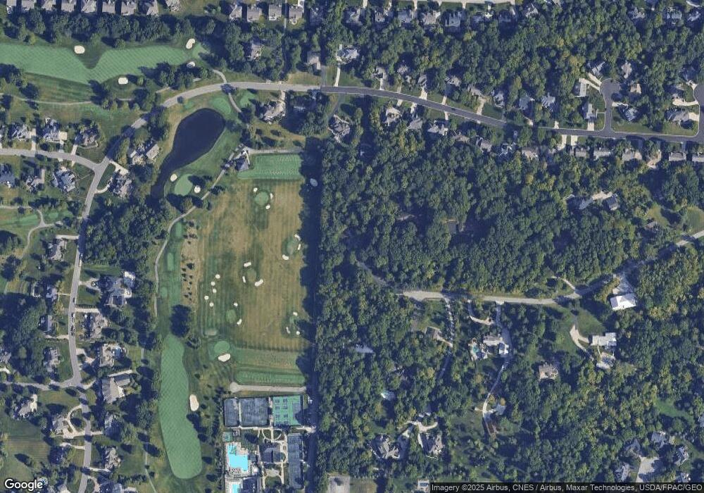
Map
Nearby Homes
- 4960 Hawthorne Valley Dr
- 4950 Sanctuary Dr
- 4790 Sanctuary Dr
- 5259 Sorrento Ct
- 6954 Lakeside Ct
- 6061 Highland Hills Dr
- 5532 Meadowood Ln
- 4320 McAlister Park Dr
- 6356 Tournament Dr
- 4515 McAlister Park Dr
- 4527 McAlister Park Dr
- 5633 Travis Pointe Ct
- 5731 Salem Dr
- 5694 Piermont Ct
- 6315 Crystal Valley Dr
- 4805 Parkmoor Dr
- 4548 Big Walnut Rd
- 3902 Rivers Run Dr
- 5542 Troon Place
- 5515 Stillwater Ave
- 4949 Hawthorne Valley Dr
- 6443 Lake Trail Dr
- 4920 Hawthorne Valley Dr
- 6449 Lake Trail Dr
- 6435 Lake Trail Dr
- 6429 Lake Trail Dr
- 4999 Hawthorne Valley Dr
- 6417 Lake Trail Dr
- 6455 Lake Trail Dr
- 4950 Hawthorne Valley Dr
- 6411 Lake Trail Dr
- 6465 Lake Trail Dr
- 6405 Lake Trail Dr
- 4986 Hawthorne Valley Dr
- 6395 Lake Trail Dr
- 6438 Lake Trail Dr
- 6446 Lake Trail Dr
- 6432 Lake Trail Dr
- 6450 Lake Trail Dr
- 6424 Lake Trail Dr