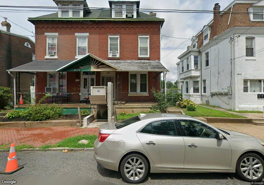
4928 Duffield St Philadelphia, PA 19124
Frankford NeighborhoodEstimated Value: $171,000 - $233,000
--
Bed
--
Bath
1,651
Sq Ft
$120/Sq Ft
Est. Value
About This Home
This home is located at 4928 Duffield St, Philadelphia, PA 19124 and is currently estimated at $198,841, approximately $120 per square foot. 4928 Duffield St is a home located in Philadelphia County with nearby schools including Harding Warren G Middle School, Frankford High School, and Mastery Schools Smedley Elementary.
Ownership History
Date
Name
Owned For
Owner Type
Purchase Details
Closed on
Dec 17, 2009
Sold by
Mccoy Harold and Mccoy Harold
Bought by
Mccoy Harold and Mccoy Barbara
Current Estimated Value
Home Financials for this Owner
Home Financials are based on the most recent Mortgage that was taken out on this home.
Original Mortgage
$103,785
Interest Rate
4.78%
Mortgage Type
FHA
Create a Home Valuation Report for This Property
The Home Valuation Report is an in-depth analysis detailing your home's value as well as a comparison with similar homes in the area
Home Values in the Area
Average Home Value in this Area
Purchase History
| Date | Buyer | Sale Price | Title Company |
|---|---|---|---|
| Mccoy Harold | -- | None Available |
Source: Public Records
Mortgage History
| Date | Status | Borrower | Loan Amount |
|---|---|---|---|
| Closed | Mccoy Harold | $103,785 |
Source: Public Records
Tax History Compared to Growth
Tax History
| Year | Tax Paid | Tax Assessment Tax Assessment Total Assessment is a certain percentage of the fair market value that is determined by local assessors to be the total taxable value of land and additions on the property. | Land | Improvement |
|---|---|---|---|---|
| 2026 | $664 | $142,300 | $28,400 | $113,900 |
| 2025 | $664 | $142,300 | $28,400 | $113,900 |
| 2024 | $664 | $142,300 | $28,400 | $113,900 |
| 2023 | $664 | $115,300 | $23,060 | $92,240 |
| 2022 | $664 | $47,400 | $23,060 | $24,340 |
| 2021 | $664 | $0 | $0 | $0 |
| 2020 | $664 | $0 | $0 | $0 |
| 2019 | $664 | $0 | $0 | $0 |
| 2018 | $664 | $0 | $0 | $0 |
| 2017 | $664 | $0 | $0 | $0 |
| 2016 | $664 | $0 | $0 | $0 |
| 2015 | $474 | $0 | $0 | $0 |
| 2014 | -- | $89,400 | $22,807 | $66,593 |
| 2012 | -- | $5,056 | $665 | $4,391 |
Source: Public Records
Map
Nearby Homes
- 4943 Duffield St
- 4843 Duffield St
- 5009 Hawthorne St
- 1724 Harrison St
- 4938 Mulberry St
- 4942 Mulberry St
- 1688 Fillmore St
- 5024 Duffield St
- 1615 Wakeling St
- 1636 Fillmore St
- 5103 Duffield St
- 4952 Charles St
- 1615 Fillmore St
- 1818 Harrison St
- 1629 Foulkrod St
- 1651 Conklin St
- 5201 Hawthorne St
- 4812 Tackawanna St
- 4839 Griscom St
- 4714 Hawthorne St
- 4926 Duffield St
- 4932 Duffield St
- 4924 Duffield St
- 4934 Duffield St
- 4922 Duffield St
- 4940 Duffield St
- 4942 Duffield St
- 4946 Duffield St
- 4921 Duffield St
- 4923 Duffield St
- 4919 Duffield St
- 4925 Duffield St
- 4917 Duffield St
- 4927 Duffield St
- 1685 Harrison St
- 1683 Harrison St
- 1687 Harrison St
- 4915 Duffield St
- 1681 Harrison St
- 4929 Duffield St