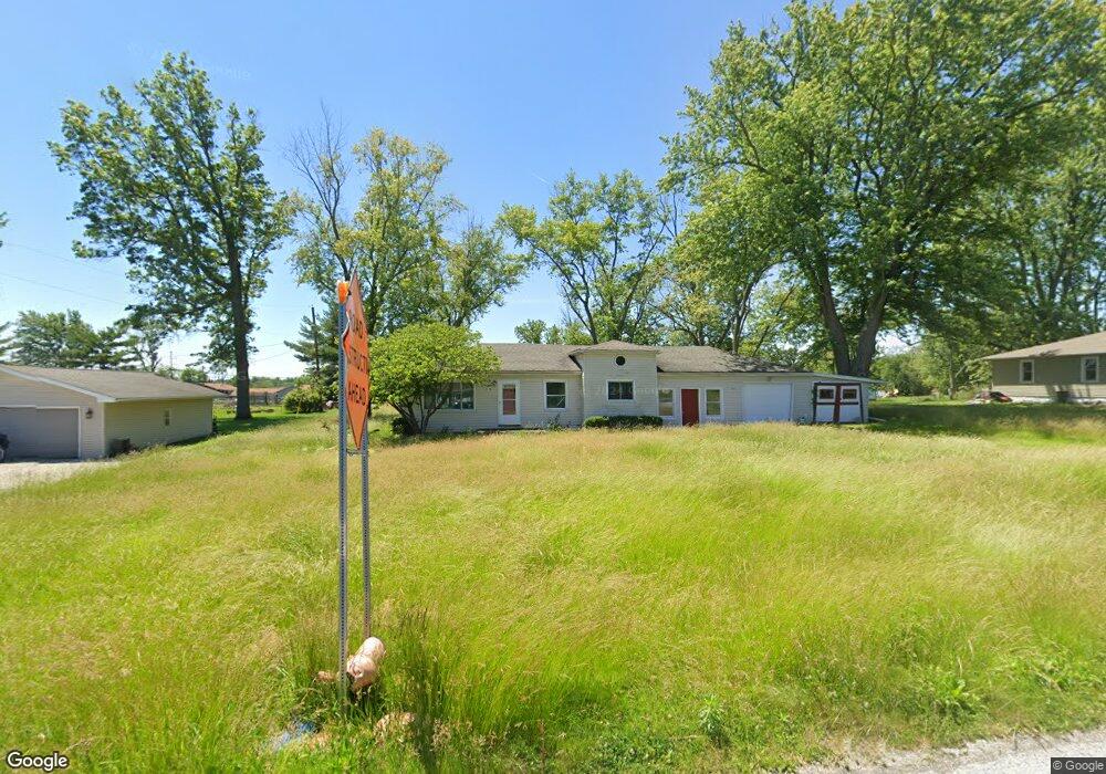
4931 E Glenwood Dr Decatur, IL 62521
Estimated Value: $141,440 - $196,000
--
Bed
--
Bath
1,226
Sq Ft
$130/Sq Ft
Est. Value
About This Home
This home is located at 4931 E Glenwood Dr, Decatur, IL 62521 and is currently estimated at $159,860, approximately $130 per square foot. 4931 E Glenwood Dr is a home located in Macon County with nearby schools including McGaughey Elementary School, Mt. Zion Intermediate School, and Mt. Zion Elementary School.
Ownership History
Date
Name
Owned For
Owner Type
Purchase Details
Closed on
Aug 26, 2021
Sold by
Ttlreo 2 Llc
Bought by
Real Equity Ventures Llc
Current Estimated Value
Purchase Details
Closed on
Nov 15, 2019
Sold by
Macon County Clerk
Bought by
Ttlreo 2 Llc
Purchase Details
Closed on
Sep 30, 2006
Sold by
Edwards Brenda Y and Haneken Brenda Y
Bought by
Ball Dwight
Create a Home Valuation Report for This Property
The Home Valuation Report is an in-depth analysis detailing your home's value as well as a comparison with similar homes in the area
Home Values in the Area
Average Home Value in this Area
Purchase History
| Date | Buyer | Sale Price | Title Company |
|---|---|---|---|
| Real Equity Ventures Llc | -- | None Available | |
| Real Equity Ventures Llc | -- | None Listed On Document | |
| Ttlreo 2 Llc | -- | None Available | |
| Ball Dwight | -- | None Available |
Source: Public Records
Tax History Compared to Growth
Tax History
| Year | Tax Paid | Tax Assessment Tax Assessment Total Assessment is a certain percentage of the fair market value that is determined by local assessors to be the total taxable value of land and additions on the property. | Land | Improvement |
|---|---|---|---|---|
| 2024 | $1,905 | $36,301 | $6,709 | $29,592 |
| 2023 | $1,830 | $33,731 | $6,234 | $27,497 |
| 2022 | $1,703 | $31,715 | $5,861 | $25,854 |
| 2021 | $1,639 | $30,067 | $5,557 | $24,510 |
| 2020 | $1,563 | $28,736 | $5,311 | $23,425 |
| 2019 | $1,563 | $28,736 | $5,311 | $23,425 |
| 2018 | $1,518 | $28,107 | $5,195 | $22,912 |
| 2017 | $1,509 | $27,760 | $5,131 | $22,629 |
| 2016 | $1,508 | $27,743 | $5,128 | $22,615 |
| 2015 | $1,455 | $27,387 | $5,062 | $22,325 |
| 2014 | $1,423 | $27,387 | $5,062 | $22,325 |
| 2013 | $1,438 | $27,387 | $5,062 | $22,325 |
Source: Public Records
Map
Nearby Homes
- 5460 E Firehouse Rd
- 5620 E Firehouse Rd
- 2488 S Fontaine Dr
- 3330 S Baltimore Ave
- 2554 S Nantucket Dr
- 2504 S Nantucket Dr
- 1968 S Baltimore Ave
- 2571 Lansdowne Dr
- 9 Blakeridge Place
- 2458 Quail Dr
- 5941 Monarch Rd
- 3930 S Mount Zion Rd
- 5715 Ocean Trail
- 1745 S 44th St
- 1700 Brentwood Dr
- 3405 Fontenac Ct
- 860 W Wildwood Dr
- 1625 Ridgewood Ct
- 2615 French Dr
- 3552 E Orchard Dr
- 4949 E Glenwood Dr
- 4867 E Glenwood Dr
- 4930 E Glenwood Dr
- 4860 E Glenwood Dr
- 4975 E Glenwood Dr
- 2741 S Mount Zion Rd
- 4847 E Glenwood Dr
- 4846 E Glenwood Dr
- 2761 S Mount Zion Rd
- 4970 E Glenwood Dr
- 4834 E Glenwood Dr
- 2821 S Mount Zion Rd
- 2675 S Mount Zion Rd
- 4827 E Glenwood Dr
- 2655 S Mount Zion Rd
- 4926 E Lost Bridge Rd
- 4850 E Lost Bridge Rd
- 2881 S Mount Zion Rd
- 2635 S Mount Zion Rd
- 4769 E Glenwood Dr