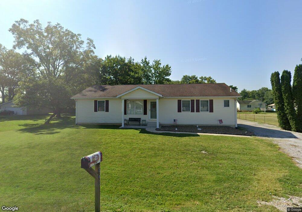
4932 Carl St Granite City, IL 62040
Estimated Value: $203,000 - $239,000
3
Beds
2
Baths
1,568
Sq Ft
$140/Sq Ft
Est. Value
About This Home
This home is located at 4932 Carl St, Granite City, IL 62040 and is currently estimated at $219,536, approximately $140 per square foot. 4932 Carl St is a home located in Madison County with nearby schools including Granite City High School, St. Elizabeth Elementary School, and Metro East Montessori School.
Ownership History
Date
Name
Owned For
Owner Type
Purchase Details
Closed on
Oct 27, 2011
Sold by
Wernick Gerald E and Wernick Shirley A
Bought by
Humphrey Paul R and Humphrey Christina M
Current Estimated Value
Home Financials for this Owner
Home Financials are based on the most recent Mortgage that was taken out on this home.
Original Mortgage
$80,000
Outstanding Balance
$54,815
Interest Rate
4.12%
Mortgage Type
New Conventional
Estimated Equity
$164,721
Create a Home Valuation Report for This Property
The Home Valuation Report is an in-depth analysis detailing your home's value as well as a comparison with similar homes in the area
Home Values in the Area
Average Home Value in this Area
Purchase History
| Date | Buyer | Sale Price | Title Company |
|---|---|---|---|
| Humphrey Paul R | $132,500 | Metro Title & Escrow Company |
Source: Public Records
Mortgage History
| Date | Status | Borrower | Loan Amount |
|---|---|---|---|
| Open | Humphrey Paul R | $80,000 |
Source: Public Records
Tax History Compared to Growth
Tax History
| Year | Tax Paid | Tax Assessment Tax Assessment Total Assessment is a certain percentage of the fair market value that is determined by local assessors to be the total taxable value of land and additions on the property. | Land | Improvement |
|---|---|---|---|---|
| 2024 | $3,250 | $60,080 | $3,750 | $56,330 |
| 2023 | $3,250 | $55,010 | $4,350 | $50,660 |
| 2022 | $3,311 | $47,950 | $3,790 | $44,160 |
| 2021 | $2,836 | $45,300 | $3,580 | $41,720 |
| 2020 | $2,659 | $42,770 | $3,380 | $39,390 |
| 2019 | $2,699 | $42,770 | $3,380 | $39,390 |
| 2018 | $2,628 | $40,110 | $3,170 | $36,940 |
| 2017 | $2,533 | $40,110 | $3,170 | $36,940 |
| 2016 | $2,726 | $40,110 | $3,170 | $36,940 |
| 2015 | $2,629 | $40,830 | $3,230 | $37,600 |
| 2014 | $2,629 | $40,830 | $3,230 | $37,600 |
| 2013 | $2,629 | $42,170 | $3,340 | $38,830 |
Source: Public Records
Map
Nearby Homes
- 5120 Buena St
- 5104 Stephanie Dr
- 5147 Old Alton Rd
- 2507 Morrison Rd
- 5121 Stacey Dr
- 5129 Stacey Dr
- 3120 W Chain of Rocks Rd Unit 252
- 3120 W Chain of Rocks Rd Unit 199
- 3120 W Chain of Rocks Rd Unit 161
- 3120 W Chain of Rocks Rd Unit 249
- 3120 W Chain of Rocks Rd Unit 171
- 2614 Morrison Rd
- 2305 Clinton Dr
- 1608 Union Ave
- 973 Wanda Dr
- 2424 Angela Dr
- 2152 Bern Ave
- 2608 Angela Dr
- 1633 Sycamore St
- 2345 Paul Ave
- 4933 Mueller Ave
- 4940 Carl St
- 4937 Mueller Ave
- 4929 Mueller Ave
- 4937 Carl St
- 4933 Carl St
- 4927 Carl St
- 5101 Maryville Rd
- 4925 Mueller Ave
- 4941 Carl St
- 4923 Carl St
- 5105 Maryville Rd
- 4932 Mueller Ave
- 4928 Mueller Ave
- 4920 Carl St
- 4921 Mueller Ave
- 4924 Mueller Ave
- 4917 Mueller Ave
- 5109 Maryville Rd
- 4920 Mueller Ave