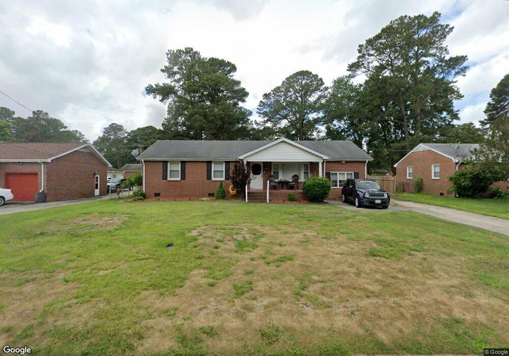
4940 Wycliff Rd Portsmouth, VA 23703
Churchland NeighborhoodEstimated Value: $315,457 - $333,000
3
Beds
2
Baths
1,557
Sq Ft
$208/Sq Ft
Est. Value
About This Home
This home is located at 4940 Wycliff Rd, Portsmouth, VA 23703 and is currently estimated at $323,864, approximately $208 per square foot. 4940 Wycliff Rd is a home located in Portsmouth City with nearby schools including Churchland Elementary School, Churchland Academy Elementary School, and Churchland Middle School.
Ownership History
Date
Name
Owned For
Owner Type
Purchase Details
Closed on
Mar 23, 2010
Sold by
Smith Nona K
Bought by
Randall Benjamin J
Current Estimated Value
Home Financials for this Owner
Home Financials are based on the most recent Mortgage that was taken out on this home.
Original Mortgage
$222,150
Outstanding Balance
$146,805
Interest Rate
5%
Mortgage Type
VA
Estimated Equity
$177,059
Create a Home Valuation Report for This Property
The Home Valuation Report is an in-depth analysis detailing your home's value as well as a comparison with similar homes in the area
Home Values in the Area
Average Home Value in this Area
Purchase History
| Date | Buyer | Sale Price | Title Company |
|---|---|---|---|
| Randall Benjamin J | $217,000 | -- |
Source: Public Records
Mortgage History
| Date | Status | Borrower | Loan Amount |
|---|---|---|---|
| Open | Randall Benjamin J | $222,150 |
Source: Public Records
Tax History Compared to Growth
Tax History
| Year | Tax Paid | Tax Assessment Tax Assessment Total Assessment is a certain percentage of the fair market value that is determined by local assessors to be the total taxable value of land and additions on the property. | Land | Improvement |
|---|---|---|---|---|
| 2025 | $3,199 | $267,770 | $77,760 | $190,010 |
| 2024 | $3,199 | $260,040 | $77,760 | $182,280 |
| 2023 | $3,170 | $253,590 | $77,760 | $175,830 |
| 2022 | $2,877 | $221,300 | $64,800 | $156,500 |
| 2021 | $2,483 | $191,000 | $46,100 | $144,900 |
| 2020 | $2,455 | $188,810 | $43,910 | $144,900 |
| 2019 | $2,438 | $187,520 | $43,910 | $143,610 |
| 2018 | $2,387 | $183,650 | $43,910 | $139,740 |
| 2017 | $2,354 | $181,070 | $43,910 | $137,160 |
| 2016 | $2,354 | $181,070 | $43,910 | $137,160 |
| 2015 | $2,354 | $181,070 | $43,910 | $137,160 |
| 2014 | $2,300 | $181,070 | $43,910 | $137,160 |
Source: Public Records
Map
Nearby Homes
- 10AC Cedar Ln
- 4959 Briarwood Ln
- 4955 Briarwood Ln
- 5300 Larkspur Rd
- 3728 Cardinal Ln
- 4808 Thornwood St
- 3509 Spence Rd
- 3613 Cardinal Ln
- 3315 Camellia Dr
- 5516 Bingham Dr
- 3604 Lilac Dr
- 3425 Cedar Ln
- 4008 Oakhurst Rd
- 3432 Carter Rd
- 4705 Templar Dr
- 4613 Mallard Crescent
- 3405 Canterbury Dr
- 5220 Clover Hill Dr
- 3609 Linnet Ln
- 3408 Wakefield Dr
- 4936 Wycliff Rd
- 4944 Wycliff Rd
- 3821 Cedar Ln
- 3825 Cedar Ln
- 3817 Cedar Ln
- 4928 Orleans Dr
- 4948 Wycliff Rd
- 4932 Wycliff Rd
- 3813 Cedar Ln
- 3829 Cedar Ln
- 4925 Orleans Dr
- 4925 Wycliff Rd
- 4952 Wycliff Rd
- 4924 Orleans Dr
- 4924 Orleans Dr Unit Driv
- 4949 Wycliff Rd
- 3809 Cedar Ln
- 3833 Cedar Ln
- 4928 Wycliff Rd
- 3812 Cedar Ln