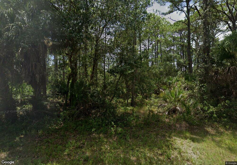
495 Olmstead St Port Charlotte, FL 33953
Northwest Port Charlotte NeighborhoodEstimated Value: $82,000
--
Bed
--
Bath
--
Sq Ft
10,019
Sq Ft Lot
About This Home
This home is located at 495 Olmstead St, Port Charlotte, FL 33953 and is currently estimated at $82,000. 495 Olmstead St is a home located in Charlotte County with nearby schools including Liberty Elementary School, Murdock Middle School, and Port Charlotte High School.
Ownership History
Date
Name
Owned For
Owner Type
Purchase Details
Closed on
May 11, 2023
Sold by
Freedom Land Group Llc
Bought by
Hass Global Hedge Llc
Current Estimated Value
Purchase Details
Closed on
Feb 27, 2013
Sold by
Charvest Llc
Bought by
Eskin Harold S and Eskin Kathy F
Purchase Details
Closed on
Dec 14, 2010
Sold by
Eskin Harold S and Eskin Kathy F
Bought by
Charvest Llc
Purchase Details
Closed on
Apr 8, 2005
Sold by
George Hicks Jimmie Lynn
Bought by
Eskin Harold S and Eskin Kathy F
Create a Home Valuation Report for This Property
The Home Valuation Report is an in-depth analysis detailing your home's value as well as a comparison with similar homes in the area
Home Values in the Area
Average Home Value in this Area
Purchase History
| Date | Buyer | Sale Price | Title Company |
|---|---|---|---|
| Hass Global Hedge Llc | $37,000 | None Listed On Document | |
| Eskin Harold S | $51,000 | Attorney | |
| Charvest Llc | $51,000 | Attorney | |
| Eskin Harold S | $27,500 | -- |
Source: Public Records
Tax History Compared to Growth
Tax History
| Year | Tax Paid | Tax Assessment Tax Assessment Total Assessment is a certain percentage of the fair market value that is determined by local assessors to be the total taxable value of land and additions on the property. | Land | Improvement |
|---|---|---|---|---|
| 2024 | $455 | $11,475 | $11,475 | -- |
| 2023 | $455 | $4,320 | $0 | $0 |
| 2022 | $430 | $10,200 | $10,200 | $0 |
| 2021 | $385 | $3,570 | $3,570 | $0 |
| 2020 | $377 | $3,570 | $3,570 | $0 |
| 2019 | $375 | $3,570 | $3,570 | $0 |
| 2018 | $365 | $3,315 | $3,315 | $0 |
| 2017 | $361 | $3,196 | $3,196 | $0 |
| 2016 | $357 | $3,060 | $0 | $0 |
| 2015 | $353 | $2,788 | $0 | $0 |
| 2014 | $252 | $2,788 | $0 | $0 |
Source: Public Records
Map
Nearby Homes
- 13018 Chamberlain Blvd
- 462 Dailey St
- 446 Olmstead St
- 494 Dailey St
- 486 Dailey St
- 454 Dailey St
- 1022 Forrestal St
- 12551 Ranch Ave
- 13085 Harbison Ave
- 12469 Harlow Ave
- 12520 Harlow Ave
- 13084 Harbison Ave
- 13077 Rankin Ave
- 12525 Welon Ave
- 12550 Ranch Ave
- 13085 Rankin Ave
- 406 Olmstead St
- 12501 Harlow Ave
- 12493 Harlow Ave
- 399 Halloran St
- 487 Stewart St
- 503 Olmstead St
- 494 Olmstead St
- 486 Olmstead St
- 478 Olmstead St
- 495 Halloran St
- 511 Halloran St
- 13034 Chamberlain Blvd
- 462 Olmstead St Unit 11
- 479 Olmstead St
- 431 Olmstead St
- 430 Olmstead St
- 391 & 399 Olmstead St
- 471 Olmstead St
- 438 Olmstead St
- 12656 Chamberlain Blvd
- 398 Dailey St
- 471 Halloran St
- 13050 Chamberlain Blvd
- 463 Halloran St