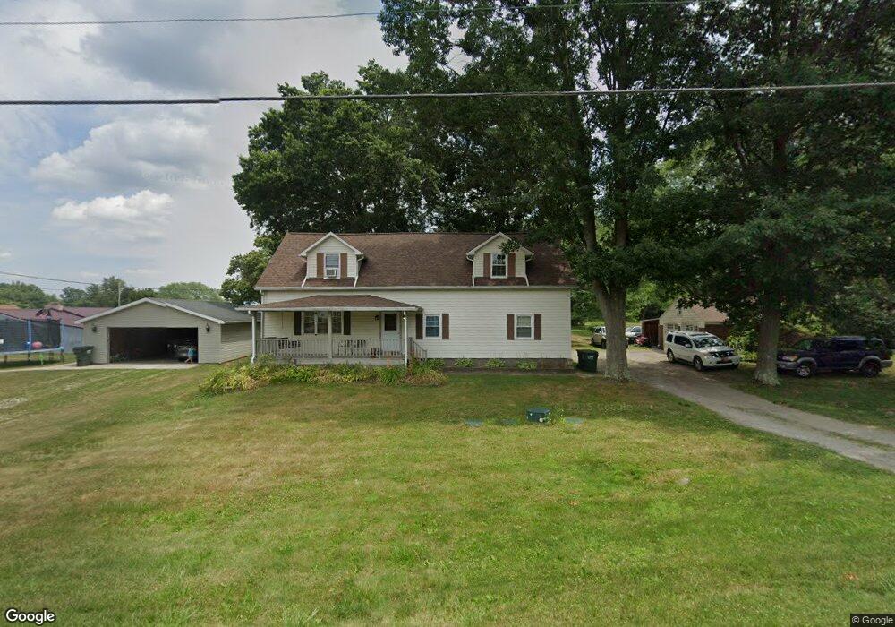
4950 Meese Rd Louisville, OH 44641
Estimated Value: $220,000 - $262,000
--
Bed
--
Bath
--
Sq Ft
0.52
Acres
About This Home
This home is located at 4950 Meese Rd, Louisville, OH 44641 and is currently estimated at $246,357. 4950 Meese Rd is a home located in Stark County with nearby schools including Louisville High School and St. Thomas Aquinas High School & Middle School.
Ownership History
Date
Name
Owned For
Owner Type
Purchase Details
Closed on
Dec 14, 2020
Sold by
Sukosd Cheryl L
Bought by
Pease Samantha and Maurer Johnathan
Current Estimated Value
Home Financials for this Owner
Home Financials are based on the most recent Mortgage that was taken out on this home.
Original Mortgage
$182,631
Outstanding Balance
$162,886
Interest Rate
2.8%
Mortgage Type
FHA
Estimated Equity
$83,471
Purchase Details
Closed on
Jan 4, 2006
Sold by
Sukosd John W
Bought by
Sukosd Cheryl L
Home Financials for this Owner
Home Financials are based on the most recent Mortgage that was taken out on this home.
Original Mortgage
$65,000
Interest Rate
6.46%
Mortgage Type
Stand Alone Refi Refinance Of Original Loan
Create a Home Valuation Report for This Property
The Home Valuation Report is an in-depth analysis detailing your home's value as well as a comparison with similar homes in the area
Home Values in the Area
Average Home Value in this Area
Purchase History
| Date | Buyer | Sale Price | Title Company |
|---|---|---|---|
| Pease Samantha | $188,500 | None Available | |
| Sukosd Cheryl L | -- | None Available |
Source: Public Records
Mortgage History
| Date | Status | Borrower | Loan Amount |
|---|---|---|---|
| Open | Pease Samantha | $182,631 | |
| Previous Owner | Sukosd Cheryl L | $65,000 |
Source: Public Records
Tax History Compared to Growth
Tax History
| Year | Tax Paid | Tax Assessment Tax Assessment Total Assessment is a certain percentage of the fair market value that is determined by local assessors to be the total taxable value of land and additions on the property. | Land | Improvement |
|---|---|---|---|---|
| 2025 | -- | $6,620 | $4,900 | $1,720 |
| 2024 | -- | $6,620 | $4,900 | $1,720 |
| 2023 | $253 | $5,080 | $3,470 | $1,610 |
| 2022 | $257 | $5,080 | $3,470 | $1,610 |
| 2021 | $258 | $5,080 | $3,470 | $1,610 |
| 2020 | $209 | $4,420 | $3,120 | $1,300 |
| 2019 | $210 | $4,420 | $3,120 | $1,300 |
| 2018 | $210 | $4,420 | $3,120 | $1,300 |
| 2017 | $221 | $4,450 | $2,940 | $1,510 |
| 2016 | $216 | $4,450 | $2,940 | $1,510 |
| 2015 | $217 | $4,450 | $2,940 | $1,510 |
| 2014 | $206 | $3,900 | $2,560 | $1,340 |
| 2013 | $103 | $3,900 | $2,560 | $1,340 |
Source: Public Records
Map
Nearby Homes
- 2015 E Main St
- 5495 Meese Rd NE
- 1413 Washington Blvd
- 0 Michigan Blvd
- 1812 E Broad St
- 910 Crosswyck Cir
- 308 Superior St
- 2110 Edmar St
- 6052 N Nickelplate St
- 520 S Silver St
- 325 Lincoln Ave
- 344 E Reno Dr
- 728 E Broad St
- 316 E Reno Dr
- 428 Honeycrisp Dr NE
- 3047 Mcintosh Dr NE
- 432 Honeycrisp Dr NE
- 2962 Mcintosh Dr NE
- 2963 Mcintosh Dr NE
- 430 Honeycrisp Dr NE