496 Leroy Day Ln La Follette, TN 37766
Estimated Value: $219,000 - $440,000
1
Bed
1
Bath
768
Sq Ft
$374/Sq Ft
Est. Value
About This Home
This home is located at 496 Leroy Day Ln, La Follette, TN 37766 and is currently estimated at $287,391, approximately $374 per square foot. 496 Leroy Day Ln is a home.
Ownership History
Date
Name
Owned For
Owner Type
Purchase Details
Closed on
Jan 14, 2022
Sold by
Wayne Thompson David and Wayne Jean Galia
Bought by
Nelson Johnathon and Nelson Hanna
Current Estimated Value
Purchase Details
Closed on
Sep 20, 2013
Sold by
Thompson David
Bought by
Thompson David Wayne and Thompson Galia Jean
Purchase Details
Closed on
May 4, 1994
Sold by
Davis Carl
Bought by
Davis Patsy
Purchase Details
Closed on
Nov 10, 1989
Bought by
Baird Frank
Create a Home Valuation Report for This Property
The Home Valuation Report is an in-depth analysis detailing your home's value as well as a comparison with similar homes in the area
Home Values in the Area
Average Home Value in this Area
Purchase History
| Date | Buyer | Sale Price | Title Company |
|---|---|---|---|
| Nelson Johnathon | $54,000 | None Listed On Document | |
| Thompson David Wayne | -- | -- | |
| Davis Patsy | $30,000 | -- | |
| Baird Frank | $1,200 | -- |
Source: Public Records
Tax History Compared to Growth
Tax History
| Year | Tax Paid | Tax Assessment Tax Assessment Total Assessment is a certain percentage of the fair market value that is determined by local assessors to be the total taxable value of land and additions on the property. | Land | Improvement |
|---|---|---|---|---|
| 2025 | $570 | $46,900 | $0 | $0 |
| 2024 | $570 | $46,900 | $11,550 | $35,350 |
| 2023 | $103 | $4,975 | $4,725 | $250 |
| 2022 | $103 | $4,975 | $4,725 | $250 |
| 2021 | $103 | $4,975 | $4,725 | $250 |
| 2020 | $101 | $4,975 | $4,725 | $250 |
| 2019 | $103 | $4,975 | $4,725 | $250 |
| 2018 | $101 | $4,500 | $4,125 | $375 |
| 2017 | $101 | $4,500 | $4,125 | $375 |
| 2016 | $101 | $4,500 | $4,125 | $375 |
| 2015 | $90 | $4,500 | $4,125 | $375 |
| 2014 | -- | $4,500 | $4,125 | $375 |
| 2013 | -- | $4,500 | $4,125 | $375 |
Source: Public Records
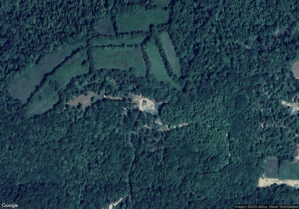
Map
Nearby Homes
- 0 Low Gap Rd Unit 18767562
- 0 Low Gap Rd Unit 11277254
- 268 Cross View Ln
- 0 Cross View Ln Unit 1312951
- 0 Whitman Hollow Rd Unit 1271817
- 0 Grantsboro Rd
- 519 Whitman Hollow Rd
- 0 Clearwater View Ln Unit 1317048
- 00 Chestnut Stump Rd
- 4160 Demory Rd
- 1031 Big Creek Rd
- 0 Rainbow Cir
- 165 Parkview Dr
- 0 Rainbow View Rd
- Lots 8 & 9 Rainbow Ln
- 0 Country Oaks Ln
- 2270 Cove Pointe Rd
- 1971 Demory Rd
- 0 Cove Point Rd Unit 1305790
- 711 Jim Lee Ridge Rd
- 303 Leroy Day Ln
- 274 Grantsboro Rd
- 274 Grantsboro Rd
- 1000 Low Gap Rd
- 258 Coleman Ln
- 999 Low Gap Rd
- 204 Coleman Ln
- 154 Leroy Day Ln
- 1065 Low Gap Rd
- 300 Grantsboro Rd
- 153 Leroy Day Ln
- 1109 Low Gap Rd
- 1076 Low Gap Rd
- 1119 Low Gap Rd
- 121 Leroy Day Ln
- 132 Boyd Sharp Ln
- 224 Boyd Sharp Ln
- 1139 Low Gap Rd
- 282 Grantsboro Rd
- 210 Boyd Sharp Ln