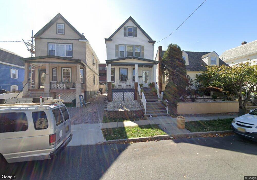
497 Neville St Perth Amboy, NJ 08861
Amboy Avenue NeighborhoodEstimated Value: $405,150 - $442,000
3
Beds
2
Baths
1,312
Sq Ft
$320/Sq Ft
Est. Value
About This Home
This home is located at 497 Neville St, Perth Amboy, NJ 08861 and is currently estimated at $420,038, approximately $320 per square foot. 497 Neville St is a home located in Middlesex County with nearby schools including Perth Amboy High School, Middlesex County STEM Charter School, and Academy for Urban Leadership Charter School.
Ownership History
Date
Name
Owned For
Owner Type
Purchase Details
Closed on
Mar 28, 2017
Sold by
Riley Lisa Ann
Bought by
Bachoo Ronald
Current Estimated Value
Home Financials for this Owner
Home Financials are based on the most recent Mortgage that was taken out on this home.
Original Mortgage
$69,600
Outstanding Balance
$57,742
Interest Rate
4.1%
Mortgage Type
New Conventional
Estimated Equity
$362,296
Purchase Details
Closed on
Mar 16, 2000
Create a Home Valuation Report for This Property
The Home Valuation Report is an in-depth analysis detailing your home's value as well as a comparison with similar homes in the area
Home Values in the Area
Average Home Value in this Area
Purchase History
| Date | Buyer | Sale Price | Title Company |
|---|---|---|---|
| Bachoo Ronald | $220,000 | None Available | |
| -- | -- | -- |
Source: Public Records
Mortgage History
| Date | Status | Borrower | Loan Amount |
|---|---|---|---|
| Open | Bachoo Ronald | $69,600 |
Source: Public Records
Tax History Compared to Growth
Tax History
| Year | Tax Paid | Tax Assessment Tax Assessment Total Assessment is a certain percentage of the fair market value that is determined by local assessors to be the total taxable value of land and additions on the property. | Land | Improvement |
|---|---|---|---|---|
| 2025 | $6,269 | $207,800 | $96,400 | $111,400 |
| 2024 | $6,257 | $207,800 | $96,400 | $111,400 |
| 2023 | $6,257 | $207,800 | $96,400 | $111,400 |
| 2022 | $6,182 | $207,800 | $96,400 | $111,400 |
| 2021 | $6,190 | $207,800 | $96,400 | $111,400 |
| 2020 | $6,188 | $207,800 | $96,400 | $111,400 |
| 2019 | $6,211 | $207,800 | $96,400 | $111,400 |
| 2018 | $6,157 | $207,800 | $96,400 | $111,400 |
| 2017 | $6,044 | $204,400 | $96,400 | $108,000 |
| 2016 | $5,887 | $204,400 | $96,400 | $108,000 |
| 2015 | $5,928 | $204,400 | $96,400 | $108,000 |
| 2014 | $5,964 | $204,400 | $96,400 | $108,000 |
Source: Public Records
Map
Nearby Homes
- 461 Lawrie St
- 448 Baker Place
- 599 Pacific Ave
- 438 Lawrie St
- 552 Compton Ave
- 569 Cornell St
- 399 Compton Ave
- 649 Cornell St
- 397 Washington St
- 389 Jeffries St
- 376 Barclay St
- 689 Mary St
- 359 Neville St
- 720 Donald Ave
- 490 Mckeon St
- 371 Mcguire Place
- 693 Hanson Ave
- 744 Donald Ave
- 752 Donald Ave
- 303 Holly Dr
- 499 Neville St
- 495 Neville St
- 503 Neville St
- 491 Neville St
- 505 Neville St
- 489 Neville St
- 487 Neville St
- 509 Neville St
- 507 Neville St
- 507 Neville St Unit 2
- 507 Neville St Unit 1
- 485 Neville St
- 508 Lawrie St
- 498 Neville St
- 500 Neville St
- 496 Neville St
- 494 Neville St
- 502 Neville St
- 511 Neville St
- 504 Neville St