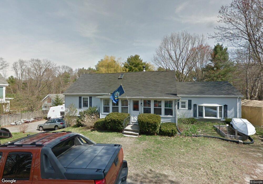
5 Foster Ave Freeport, ME 04032
Estimated Value: $447,000 - $643,000
2
Beds
1
Bath
1,701
Sq Ft
$306/Sq Ft
Est. Value
About This Home
This home is located at 5 Foster Ave, Freeport, ME 04032 and is currently estimated at $520,182, approximately $305 per square foot. 5 Foster Ave is a home located in Cumberland County with nearby schools including Morse Street School, Mast Landing School, and Freeport Middle School.
Create a Home Valuation Report for This Property
The Home Valuation Report is an in-depth analysis detailing your home's value as well as a comparison with similar homes in the area
Home Values in the Area
Average Home Value in this Area
Tax History Compared to Growth
Tax History
| Year | Tax Paid | Tax Assessment Tax Assessment Total Assessment is a certain percentage of the fair market value that is determined by local assessors to be the total taxable value of land and additions on the property. | Land | Improvement |
|---|---|---|---|---|
| 2024 | $4,414 | $330,600 | $141,900 | $188,700 |
| 2023 | $4,038 | $293,700 | $129,000 | $164,700 |
| 2022 | $3,819 | $279,800 | $115,100 | $164,700 |
| 2021 | $3,735 | $279,800 | $115,100 | $164,700 |
| 2020 | $3,622 | $258,700 | $106,600 | $152,100 |
| 2019 | $3,465 | $242,300 | $100,600 | $141,700 |
| 2018 | $3,388 | $225,100 | $94,000 | $131,100 |
| 2017 | $3,240 | $216,700 | $91,800 | $124,900 |
| 2016 | $3,176 | $201,000 | $85,000 | $116,000 |
| 2015 | $3,084 | $183,600 | $80,800 | $102,800 |
| 2014 | $2,901 | $183,600 | $80,800 | $102,800 |
| 2013 | $2,939 | $185,400 | $80,800 | $104,600 |
Source: Public Records
Map
Nearby Homes
- 11 Orchard Hill Rd
- 212 Main St
- 42 Durham Rd
- 10 Durham Rd
- 15 Percy St
- 1260 Us Route 1
- 1612 U S Route 1
- 15 Tinkers Way
- 8 Statler Ln
- 0 Prout Rd
- 143 Bragdon Rd
- 304 Pownal Rd
- 31 Allen Range Rd
- 137 Durham Rd
- 26 Harvest Ridge Rd Unit 24
- 1595 U S Route 1
- 4 Harper's Trail
- 34 Newfield Rd
- 42A Wardtown Rd
- 32 Grant Rd