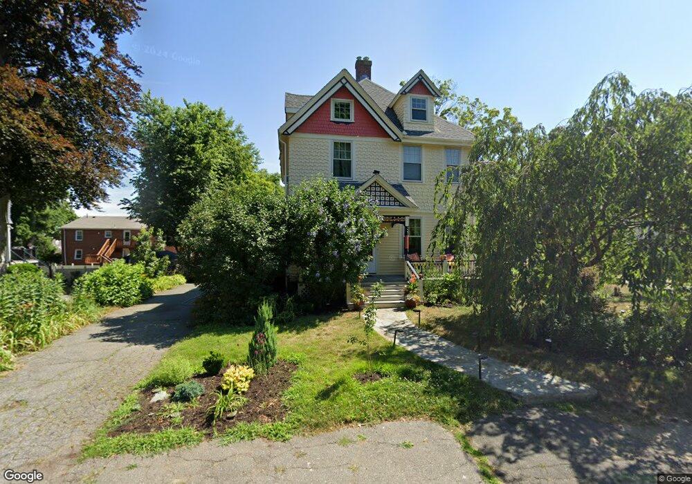
5 Jenison St Newtonville, MA 02460
Nonantum NeighborhoodEstimated Value: $1,354,000 - $1,540,000
4
Beds
2
Baths
2,336
Sq Ft
$622/Sq Ft
Est. Value
About This Home
This home is located at 5 Jenison St, Newtonville, MA 02460 and is currently estimated at $1,453,942, approximately $622 per square foot. 5 Jenison St is a home located in Middlesex County with nearby schools including Horace Mann Elementary School, Lincoln-Eliot Elementary School, and F.A. Day Middle School.
Ownership History
Date
Name
Owned For
Owner Type
Purchase Details
Closed on
May 29, 2009
Sold by
Blogier Mark M
Bought by
Henin Aude and Sutcliffe Sean M
Current Estimated Value
Home Financials for this Owner
Home Financials are based on the most recent Mortgage that was taken out on this home.
Original Mortgage
$523,750
Outstanding Balance
$332,693
Interest Rate
4.87%
Mortgage Type
Purchase Money Mortgage
Estimated Equity
$1,121,249
Create a Home Valuation Report for This Property
The Home Valuation Report is an in-depth analysis detailing your home's value as well as a comparison with similar homes in the area
Home Values in the Area
Average Home Value in this Area
Purchase History
| Date | Buyer | Sale Price | Title Company |
|---|---|---|---|
| Henin Aude | $660,000 | -- |
Source: Public Records
Mortgage History
| Date | Status | Borrower | Loan Amount |
|---|---|---|---|
| Open | Henin Aude | $523,750 |
Source: Public Records
Tax History Compared to Growth
Tax History
| Year | Tax Paid | Tax Assessment Tax Assessment Total Assessment is a certain percentage of the fair market value that is determined by local assessors to be the total taxable value of land and additions on the property. | Land | Improvement |
|---|---|---|---|---|
| 2025 | $11,253 | $1,148,300 | $843,800 | $304,500 |
| 2024 | $10,881 | $1,114,900 | $819,200 | $295,700 |
| 2023 | $10,237 | $1,005,600 | $624,300 | $381,300 |
| 2022 | $9,795 | $931,100 | $578,100 | $353,000 |
| 2021 | $13,460 | $878,400 | $545,400 | $333,000 |
| 2020 | $9,170 | $878,400 | $545,400 | $333,000 |
| 2019 | $8,912 | $852,800 | $529,500 | $323,300 |
| 2018 | $5,503 | $777,900 | $476,800 | $301,100 |
| 2017 | $8,161 | $733,900 | $449,800 | $284,100 |
| 2016 | $7,806 | $685,900 | $420,400 | $265,500 |
| 2015 | $7,442 | $641,000 | $392,900 | $248,100 |
Source: Public Records
Map
Nearby Homes
- 42-44 Judkins St
- 49 Hawthorn St
- 3 Ashmont Ave
- 22-24 Emerald St
- 77 Court St Unit 205
- 11 Murphy Ct
- 168 Walnut St
- 286 Nevada St Unit 286
- 158 Adams St
- 282 Nevada St Unit 282
- 188-190 Adams St
- 53 West St
- 611 Watertown St Unit 14
- 57 Walnut St
- 32-34 Rossmere St
- 34 West St Unit A
- 191 Linwood Ave
- 86 West St
- 354 Linwood Ave Unit 1
- 12-14 Middle St
- 11 Jenison St
- 11 Jenison St
- 11 Jenison St Unit 1
- 35 Lothrop St
- 33 Lothrop St
- 35 Lothrop St Unit 1
- 35 Lothrop St Unit left
- 44 Lothrop St Unit 46
- 55 Lothrop St Unit 55
- 55 Lothrop St Unit 1
- 38 Lothrop St
- 15 Lothrop St
- 15 Lothrop St Unit 1
- 15 Lothrop St Unit 3-3
- 15 Lothrop St Unit 3
- 4 Jenison St
- 15 Jenison St Unit 17
- 8 Jenison St
- 50 Lothrop St
- 50 Lothrop St Unit 1