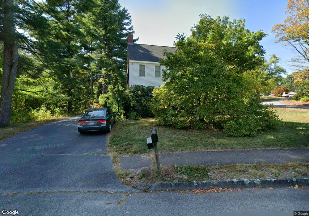
5 Lynnhaven Rd Leominster, MA 01453
Estimated Value: $565,000 - $624,000
3
Beds
3
Baths
2,033
Sq Ft
$294/Sq Ft
Est. Value
About This Home
This home is located at 5 Lynnhaven Rd, Leominster, MA 01453 and is currently estimated at $597,567, approximately $293 per square foot. 5 Lynnhaven Rd is a home located in Worcester County with nearby schools including Leominster High School, St. Anna Catholic School, and St. Leo School.
Ownership History
Date
Name
Owned For
Owner Type
Purchase Details
Closed on
Apr 1, 1996
Sold by
Root Donald R and Root Mary Ellen
Bought by
Kong Howard and Kong Taina
Current Estimated Value
Home Financials for this Owner
Home Financials are based on the most recent Mortgage that was taken out on this home.
Original Mortgage
$120,000
Outstanding Balance
$5,407
Interest Rate
6.9%
Mortgage Type
Purchase Money Mortgage
Estimated Equity
$592,160
Create a Home Valuation Report for This Property
The Home Valuation Report is an in-depth analysis detailing your home's value as well as a comparison with similar homes in the area
Home Values in the Area
Average Home Value in this Area
Purchase History
| Date | Buyer | Sale Price | Title Company |
|---|---|---|---|
| Kong Howard | $150,000 | -- |
Source: Public Records
Mortgage History
| Date | Status | Borrower | Loan Amount |
|---|---|---|---|
| Open | Kong Howard | $120,000 |
Source: Public Records
Tax History Compared to Growth
Tax History
| Year | Tax Paid | Tax Assessment Tax Assessment Total Assessment is a certain percentage of the fair market value that is determined by local assessors to be the total taxable value of land and additions on the property. | Land | Improvement |
|---|---|---|---|---|
| 2025 | $6,911 | $492,600 | $146,000 | $346,600 |
| 2024 | $6,817 | $469,800 | $139,100 | $330,700 |
| 2023 | $6,446 | $414,800 | $120,900 | $293,900 |
| 2022 | $6,140 | $370,800 | $105,100 | $265,700 |
| 2021 | $5,841 | $322,200 | $81,900 | $240,300 |
| 2020 | $5,576 | $310,100 | $81,900 | $228,200 |
| 2019 | $5,410 | $291,800 | $78,000 | $213,800 |
| 2018 | $5,366 | $277,600 | $75,800 | $201,800 |
| 2017 | $5,189 | $263,000 | $70,800 | $192,200 |
| 2016 | $5,103 | $260,600 | $70,800 | $189,800 |
| 2015 | $4,687 | $241,100 | $70,800 | $170,300 |
| 2014 | $4,586 | $242,800 | $78,100 | $164,700 |
Source: Public Records
Map
Nearby Homes
- 197 Chapman Place Unit 197
- 57 Chapman Place
- 177 Chapman Place
- 93 Chapman Place Unit 93
- 30 Abbey Rd Unit 207
- 10 Abbey Rd Unit 108
- 30 Abbey Rd Unit 202
- 10 Abbey Rd Unit 205
- 36 Meadow Pond Dr Unit I
- 740 Central St Unit R24
- 740 Central St Unit L22
- 315 Grant St
- 556 Central St Unit 43
- 556 Central St Unit 39
- 399 Union St
- 23 Lantern Ln
- 498 Lancaster St
- 1237 Central St Unit 15
- 29 Wedgewood Ln
- 6 Longwood Ave
- 443 Litchfield St
- 455 Litchfield St
- 9 Lynnhaven Rd
- 2 Lynnhaven Rd
- 30 Boscobel Ln
- 8 Lynnhaven Rd
- 467 Litchfield St
- 24 Boscobel Ln
- 17 Lynnhaven Rd
- 405 Litchfield St
- 16 Boscobel Ln
- 20 Lynnhaven Rd
- 12 Lynnhaven Rd
- 187 Dogwood Rd
- 25 Lynnhaven Rd
- 10 Capen Way
- 4 Boscobel Ln
- 28 Lynnhaven Rd
- 15 Boscobel Ln
- 184 Dogwood Rd