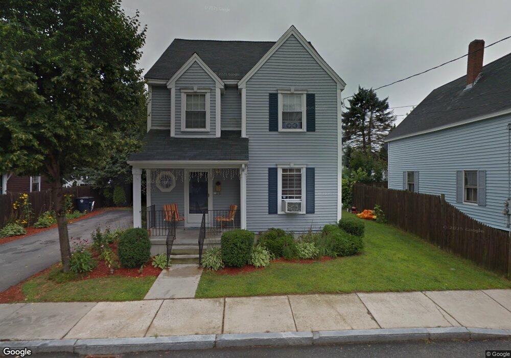
5 Paige Ave Nashua, NH 03064
North End Nashua NeighborhoodEstimated Value: $492,000 - $596,000
3
Beds
2
Baths
1,857
Sq Ft
$292/Sq Ft
Est. Value
About This Home
This home is located at 5 Paige Ave, Nashua, NH 03064 and is currently estimated at $542,281, approximately $292 per square foot. 5 Paige Ave is a home located in Hillsborough County with nearby schools including Mount Pleasant Elementary School, Pennichuck Middle School, and Nashua High School North.
Ownership History
Date
Name
Owned For
Owner Type
Purchase Details
Closed on
Jul 3, 2000
Sold by
French Hill Neighborho
Bought by
Delgado Ser Madeline I
Current Estimated Value
Home Financials for this Owner
Home Financials are based on the most recent Mortgage that was taken out on this home.
Original Mortgage
$85,000
Interest Rate
8.59%
Mortgage Type
Purchase Money Mortgage
Purchase Details
Closed on
Sep 18, 1997
Sold by
Sharpe Wendell R and Sharpe Katherine Y
Bought by
Nationsbanc Mtg Corp
Create a Home Valuation Report for This Property
The Home Valuation Report is an in-depth analysis detailing your home's value as well as a comparison with similar homes in the area
Home Values in the Area
Average Home Value in this Area
Purchase History
| Date | Buyer | Sale Price | Title Company |
|---|---|---|---|
| Delgado Ser Madeline I | $116,700 | -- | |
| Nationsbanc Mtg Corp | $73,200 | -- |
Source: Public Records
Mortgage History
| Date | Status | Borrower | Loan Amount |
|---|---|---|---|
| Open | Nationsbanc Mtg Corp | $202,800 | |
| Closed | Nationsbanc Mtg Corp | $206,000 | |
| Closed | Nationsbanc Mtg Corp | $177,000 | |
| Closed | Nationsbanc Mtg Corp | $85,000 |
Source: Public Records
Tax History Compared to Growth
Tax History
| Year | Tax Paid | Tax Assessment Tax Assessment Total Assessment is a certain percentage of the fair market value that is determined by local assessors to be the total taxable value of land and additions on the property. | Land | Improvement |
|---|---|---|---|---|
| 2024 | $7,964 | $500,900 | $105,900 | $395,000 |
| 2023 | $7,602 | $417,000 | $84,700 | $332,300 |
| 2022 | $7,405 | $409,800 | $84,700 | $325,100 |
| 2021 | $6,646 | $286,200 | $56,500 | $229,700 |
| 2020 | $6,297 | $278,500 | $56,500 | $222,000 |
| 2019 | $6,060 | $278,500 | $56,500 | $222,000 |
| 2018 | $5,907 | $278,500 | $56,500 | $222,000 |
| 2017 | $6,043 | $234,300 | $51,600 | $182,700 |
| 2016 | $5,874 | $234,300 | $51,600 | $182,700 |
| 2015 | $5,747 | $234,300 | $51,600 | $182,700 |
| 2014 | $5,575 | $231,800 | $51,600 | $180,200 |
Source: Public Records
Map
Nearby Homes
- 46 Perham St Unit 214
- 19 Atherton Ave
- 15 Atherton Ave
- 13 Sapphire Ln
- 71 Concord St
- 36-38 Courtland St
- 21 Edson St
- 9 Doveton Ln Unit B
- 4 Reservoir St
- 434 Abbott Farm Ln
- 312 Abbott Farm Ln
- 73 Berkeley St
- 4 Chase St
- 11 Charles St
- 19 Bartlett Ave
- 18 Harbor Ave Unit 208
- 13 Mulvanity St
- 31 Juliana Ave
- 31 Juliana Ave Unit 4
- 11 Juliana Ave Unit 52
- 3 Paige Ave
- 3 Paige Ave Unit 2
- 8 Paige Ave
- 46 Paige Ave
- 4 Paige Ave
- 8 Linden St
- 12 Linden St
- 141 Tolles St
- 143 Tolles St
- 12 Paige Ave
- 137-139 Tolles St
- 14 Linden St
- 137 Tolles St
- 137 Tolles St Unit 139
- 16 Linden St
- 14 Paige Ave Unit 16
- 7 Paige Ave Unit 7B
- 7 Paige Ave Unit 7C
- 7 Paige Ave
- 7 Paige Ave Unit B