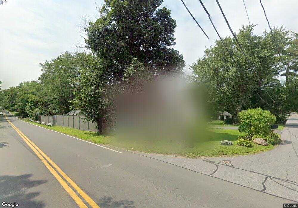
5 Pheasant Ave Sudbury, MA 01776
Estimated Value: $1,271,190 - $1,460,000
4
Beds
3
Baths
3,200
Sq Ft
$425/Sq Ft
Est. Value
About This Home
This home is located at 5 Pheasant Ave, Sudbury, MA 01776 and is currently estimated at $1,358,548, approximately $424 per square foot. 5 Pheasant Ave is a home located in Middlesex County with nearby schools including Peter Noyes Elementary School, Ephraim Curtis Middle School, and Lincoln-Sudbury Regional High School.
Ownership History
Date
Name
Owned For
Owner Type
Purchase Details
Closed on
May 24, 2007
Sold by
Noonan Marcela S and Noonan Paul S
Bought by
5 Pheasant Avenue Rt and Noonan Marcela S
Current Estimated Value
Purchase Details
Closed on
Jun 24, 2005
Sold by
Hettrich Beth Mcnamara and Hettrich Steven T
Bought by
Noonan Marcela S and Noonan Paul S
Home Financials for this Owner
Home Financials are based on the most recent Mortgage that was taken out on this home.
Original Mortgage
$600,000
Interest Rate
5.82%
Mortgage Type
Purchase Money Mortgage
Purchase Details
Closed on
Dec 2, 1998
Sold by
Becker John F and Patricia Becker M
Bought by
Hettrich Steven T and Hettrich Beth M
Home Financials for this Owner
Home Financials are based on the most recent Mortgage that was taken out on this home.
Original Mortgage
$310,800
Interest Rate
6.68%
Mortgage Type
Purchase Money Mortgage
Create a Home Valuation Report for This Property
The Home Valuation Report is an in-depth analysis detailing your home's value as well as a comparison with similar homes in the area
Home Values in the Area
Average Home Value in this Area
Purchase History
| Date | Buyer | Sale Price | Title Company |
|---|---|---|---|
| 5 Pheasant Avenue Rt | -- | -- | |
| Noonan Marcela S | $750,000 | -- | |
| Hettrich Steven T | $388,500 | -- |
Source: Public Records
Mortgage History
| Date | Status | Borrower | Loan Amount |
|---|---|---|---|
| Previous Owner | Noonan Marcela S | $600,000 | |
| Previous Owner | Hettrich Steven T | $53,700 | |
| Previous Owner | Hettrich Steven T | $310,800 | |
| Previous Owner | Hettrich Steven T | $70,000 |
Source: Public Records
Tax History Compared to Growth
Tax History
| Year | Tax Paid | Tax Assessment Tax Assessment Total Assessment is a certain percentage of the fair market value that is determined by local assessors to be the total taxable value of land and additions on the property. | Land | Improvement |
|---|---|---|---|---|
| 2025 | $16,470 | $1,125,000 | $373,400 | $751,600 |
| 2024 | $15,957 | $1,092,200 | $362,400 | $729,800 |
| 2023 | $14,928 | $946,600 | $335,500 | $611,100 |
| 2022 | $14,061 | $779,000 | $307,600 | $471,400 |
| 2021 | $13,249 | $703,600 | $307,600 | $396,000 |
| 2020 | $12,981 | $703,600 | $307,600 | $396,000 |
| 2019 | $12,601 | $703,600 | $307,600 | $396,000 |
| 2018 | $12,293 | $685,600 | $323,800 | $361,800 |
| 2017 | $12,035 | $678,400 | $320,000 | $358,400 |
| 2016 | $11,118 | $624,600 | $307,600 | $317,000 |
| 2015 | $10,979 | $623,800 | $313,100 | $310,700 |
| 2014 | $10,964 | $608,100 | $303,800 | $304,300 |
Source: Public Records
Map
Nearby Homes
- 270 Old Lancaster Rd
- 36 Concord Rd
- 23 Massasoit Ave
- 89 Bridle Path
- 94 Goodmans Hill Rd
- 1011 Boston Post Rd
- 427 Concord Rd
- 24 Woodland Rd
- 24 Goodnow Rd
- 30 Rolling Ln
- 216 Landham Rd
- 7 Adams Rd
- 0 Robbins Rd
- 7 Saddle Ridge Rd
- 12 Hickory Rd
- 6 Old County Rd Unit 16
- 36 Old Forge Ln
- 143 Peakham Rd
- 84 Hopestill Brown Rd
- 63 Canterbury Dr
- 7 Pheasant Ave
- 4 Pheasant Ave
- 177 Union Ave
- 159 Concord Rd
- 8 Pheasant Ave
- 165 Concord Rd
- 17 Pheasant Ave
- 173 Union Ave
- 18 Pheasant Ave
- 201 Union Ave
- 23 Pheasant Ave
- 30 Meadow Dr
- 172 Union Ave
- 34 Meadow Dr
- 149 Concord Rd
- 24 Pheasant Ave
- 205 Old Lancaster Rd
- 6 Taylor Rd
- 40 Meadow Dr
- 213 Old Lancaster Rd