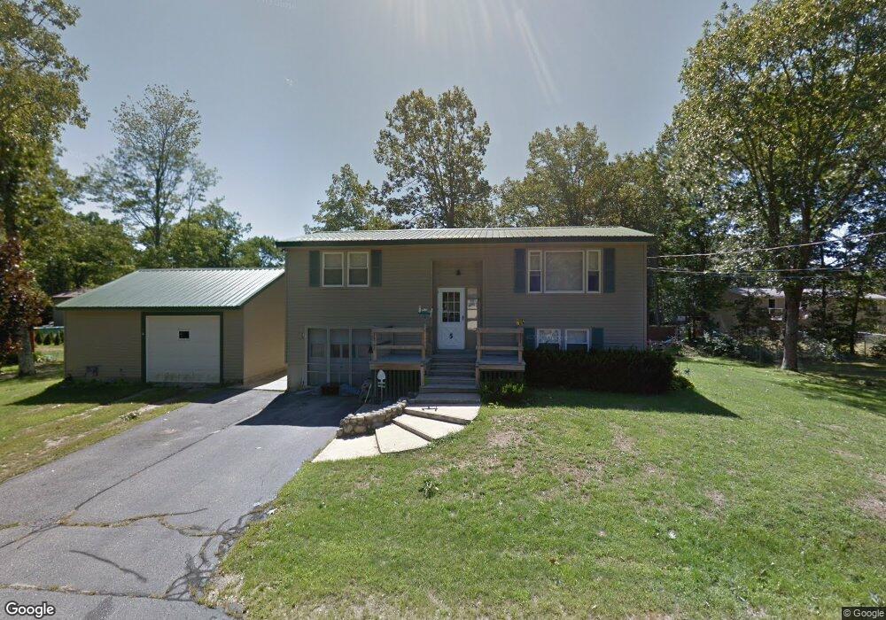
5 Pierce Ave Sanford, ME 04073
South Sanford NeighborhoodEstimated Value: $333,000 - $369,000
3
Beds
1
Bath
1,039
Sq Ft
$337/Sq Ft
Est. Value
About This Home
This home is located at 5 Pierce Ave, Sanford, ME 04073 and is currently estimated at $350,312, approximately $337 per square foot. 5 Pierce Ave is a home located in York County.
Create a Home Valuation Report for This Property
The Home Valuation Report is an in-depth analysis detailing your home's value as well as a comparison with similar homes in the area
Home Values in the Area
Average Home Value in this Area
Tax History Compared to Growth
Tax History
| Year | Tax Paid | Tax Assessment Tax Assessment Total Assessment is a certain percentage of the fair market value that is determined by local assessors to be the total taxable value of land and additions on the property. | Land | Improvement |
|---|---|---|---|---|
| 2025 | $3,588 | $209,800 | $40,000 | $169,800 |
| 2024 | $3,386 | $209,800 | $40,000 | $169,800 |
| 2023 | $3,152 | $208,200 | $40,000 | $168,200 |
| 2022 | $3,081 | $208,200 | $40,000 | $168,200 |
| 2021 | $3,209 | $176,500 | $40,000 | $136,500 |
| 2020 | $3,179 | $157,700 | $40,000 | $117,700 |
| 2019 | $3,059 | $147,800 | $40,000 | $107,800 |
| 2018 | $3,003 | $146,500 | $40,000 | $106,500 |
| 2017 | $3,020 | $145,600 | $40,000 | $105,600 |
| 2016 | $2,877 | $126,500 | $40,000 | $86,500 |
| 2015 | $2,526 | $124,600 | $41,000 | $83,600 |
| 2014 | $2,482 | $124,800 | $41,000 | $83,800 |
| 2013 | -- | $125,100 | $41,000 | $84,100 |
Source: Public Records
Map
Nearby Homes
- 25 Brunell Ave
- 28 Brunelle Ave
- 245 Kennebunk Rd
- 56 Sam Allen Rd
- Lot 4 Gatehouse Rd
- Lot 2 Gatehouse Rd
- Lot 3 Gatehouse Rd
- Lot 1 Gatehouse Rd
- 0 Airport Rd Unit 1634997
- 0 Airport Rd Unit 1624305
- 664 New Dam Rd
- 12 Marsh Brook Crossing
- 17 Airport Rd
- 247 Sam Allen Rd
- TBD Pheasant Ln
- 0 Pheasant Ln Unit 1633461
- 0 Pheasant Ln Unit 1611370
- 93 Natanis Ridge Cir
- 8 Rock Pond Rd Unit 8
- 2 Bedrock Dr Unit 2