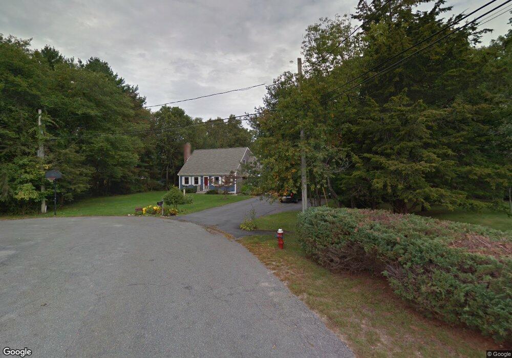
5 Riverside Dr Mattapoisett, MA 02739
Estimated Value: $758,000 - $837,000
3
Beds
2
Baths
2,441
Sq Ft
$328/Sq Ft
Est. Value
About This Home
This home is located at 5 Riverside Dr, Mattapoisett, MA 02739 and is currently estimated at $799,777, approximately $327 per square foot. 5 Riverside Dr is a home located in Plymouth County with nearby schools including Center School, Old Hammondtown Elementary, and Old Rochester Regional High School.
Create a Home Valuation Report for This Property
The Home Valuation Report is an in-depth analysis detailing your home's value as well as a comparison with similar homes in the area
Home Values in the Area
Average Home Value in this Area
Tax History Compared to Growth
Tax History
| Year | Tax Paid | Tax Assessment Tax Assessment Total Assessment is a certain percentage of the fair market value that is determined by local assessors to be the total taxable value of land and additions on the property. | Land | Improvement |
|---|---|---|---|---|
| 2025 | $7,516 | $698,500 | $213,300 | $485,200 |
| 2024 | $7,340 | $698,400 | $213,300 | $485,100 |
| 2023 | $7,391 | $657,000 | $191,300 | $465,700 |
| 2022 | $7,079 | $570,900 | $161,100 | $409,800 |
| 2021 | $6,602 | $509,400 | $177,900 | $331,500 |
| 2020 | $6,200 | $459,600 | $170,100 | $289,500 |
| 2019 | $6,160 | $466,300 | $170,100 | $296,200 |
| 2018 | $5,992 | $460,200 | $151,800 | $308,400 |
| 2017 | $5,827 | $445,800 | $151,800 | $294,000 |
| 2016 | $5,598 | $424,100 | $158,900 | $265,200 |
| 2015 | $5,421 | $417,000 | $151,800 | $265,200 |
| 2014 | $5,214 | $409,900 | $151,800 | $258,100 |
Source: Public Records
Map
Nearby Homes
- 83 Fairhaven Rd
- 47 Fairhaven Rd
- 3 Brandt Island Rd
- 421 Huttleston Ave
- 13 Park Place
- 20 Forestview Dr
- 9 Hitching Post Rd
- 0 Whalers Way
- 7 Pearl St
- 35 North St
- 312 New Boston Rd
- 0 Long Plain Rd
- 8 Captains Ln
- 11 Captains Ln
- 1 Starboard Way
- 41 Starboard Way
- 52 Prince Snow Cir
- 225 Mattapoisett Rd
- 706 Ocean Meadows
- 19 High Ridge Dr