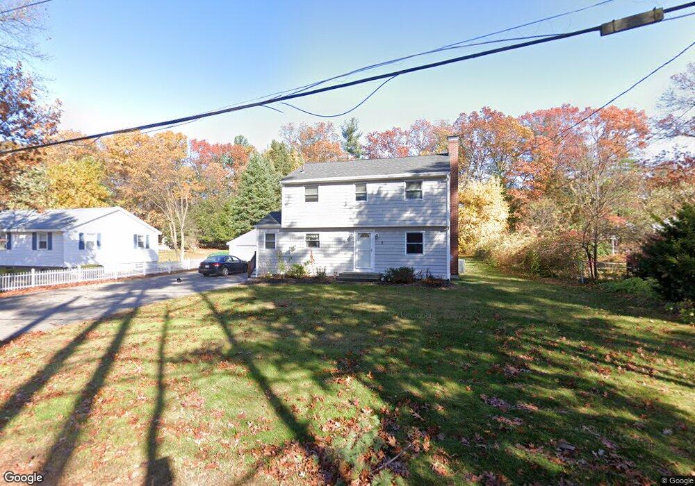
5 Rock Ave Hudson, MA 01749
Lake Boon NeighborhoodEstimated Value: $722,948 - $968,000
4
Beds
3
Baths
2,923
Sq Ft
$293/Sq Ft
Est. Value
About This Home
This home is located at 5 Rock Ave, Hudson, MA 01749 and is currently estimated at $855,737, approximately $292 per square foot. 5 Rock Ave is a home located in Middlesex County with nearby schools including David J. Quinn Middle School, Hudson High School, and Darnell School For Educational & Behavioral Service.
Ownership History
Date
Name
Owned For
Owner Type
Purchase Details
Closed on
May 27, 1993
Sold by
Hamilton Robert H and Hamilton Nancy B
Bought by
Michela Lorraine M
Current Estimated Value
Home Financials for this Owner
Home Financials are based on the most recent Mortgage that was taken out on this home.
Original Mortgage
$145,200
Interest Rate
7.41%
Mortgage Type
Purchase Money Mortgage
Create a Home Valuation Report for This Property
The Home Valuation Report is an in-depth analysis detailing your home's value as well as a comparison with similar homes in the area
Home Values in the Area
Average Home Value in this Area
Purchase History
| Date | Buyer | Sale Price | Title Company |
|---|---|---|---|
| Michela Lorraine M | $152,900 | -- |
Source: Public Records
Mortgage History
| Date | Status | Borrower | Loan Amount |
|---|---|---|---|
| Open | Michela Lorraine M | $252,000 | |
| Closed | Michela Lorraine M | $123,330 | |
| Closed | Michela Lorraine M | $145,200 |
Source: Public Records
Tax History Compared to Growth
Tax History
| Year | Tax Paid | Tax Assessment Tax Assessment Total Assessment is a certain percentage of the fair market value that is determined by local assessors to be the total taxable value of land and additions on the property. | Land | Improvement |
|---|---|---|---|---|
| 2025 | $9,536 | $687,000 | $232,200 | $454,800 |
| 2024 | $9,321 | $665,800 | $211,000 | $454,800 |
| 2023 | $8,513 | $583,100 | $203,000 | $380,100 |
| 2022 | $8,510 | $536,600 | $184,500 | $352,100 |
| 2021 | $5,245 | $488,700 | $175,700 | $313,000 |
| 2020 | $8,058 | $485,100 | $172,100 | $313,000 |
| 2019 | $7,638 | $448,500 | $172,100 | $276,400 |
| 2018 | $7,334 | $419,100 | $157,300 | $261,800 |
| 2017 | $7,287 | $416,400 | $149,600 | $266,800 |
| 2016 | $6,792 | $392,800 | $149,600 | $243,200 |
| 2015 | $6,979 | $404,100 | $149,600 | $254,500 |
| 2014 | $6,717 | $385,600 | $131,400 | $254,200 |
Source: Public Records
Map
Nearby Homes
- 4 Gately Ave
- 1 Town Line Rd
- 1 Town Line Rd Unit 18
- 10 Old County Rd Unit 19
- Stockbridge South Shore Plan at Lakemont by Toll Brothers
- 8 Town Line Rd Unit 4
- 3 Shore Line Dr Unit 15
- 14 Old County Rd Unit 21
- 10 Town Line Rd Unit 5
- 12 Town Line Rd Unit 6
- 10 Shoreline Dr Unit 12
- 8 Shoreline Dr Unit 11
- 786 Main St
- 788 Main St
- 34 Hallock Point Rd
- 51 Hale Rd
- 210 Barton Rd
- 3 Stonehill Rd
- 618 Sudbury St
- 168 Blanchette Dr