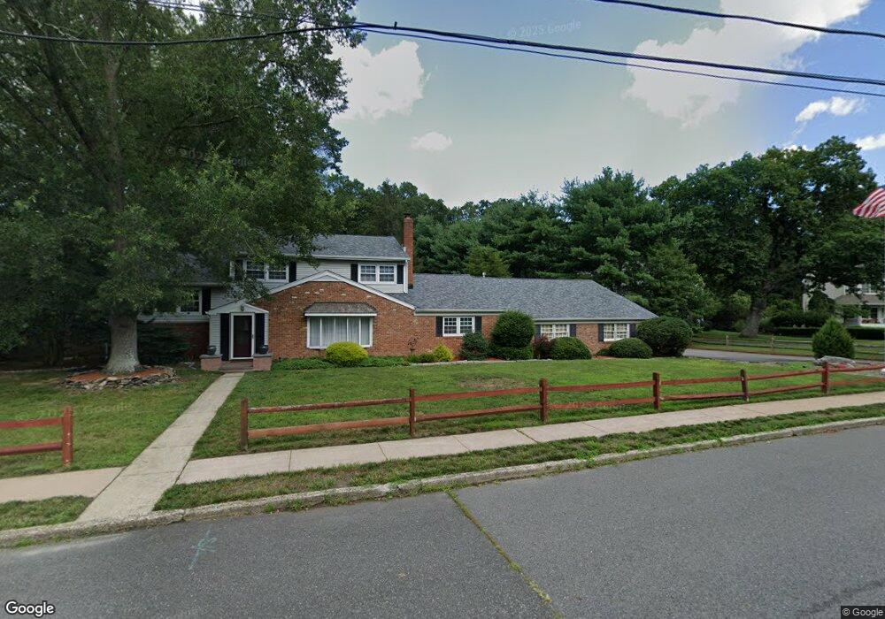
50 Cliffside Dr Toms River, NJ 08755
Estimated Value: $625,000 - $672,000
4
Beds
3
Baths
2,536
Sq Ft
$254/Sq Ft
Est. Value
About This Home
This home is located at 50 Cliffside Dr, Toms River, NJ 08755 and is currently estimated at $643,654, approximately $253 per square foot. 50 Cliffside Dr is a home located in Ocean County with nearby schools including St Joseph Grade School, Ambassador Christian Academy, and Donovan Catholic High School.
Ownership History
Date
Name
Owned For
Owner Type
Purchase Details
Closed on
Jul 31, 2002
Sold by
Davis Hem Associates
Bought by
Mazanoski Edward W and Deakin Wililam E
Current Estimated Value
Home Financials for this Owner
Home Financials are based on the most recent Mortgage that was taken out on this home.
Original Mortgage
$218,500
Outstanding Balance
$92,458
Interest Rate
6.55%
Estimated Equity
$551,196
Create a Home Valuation Report for This Property
The Home Valuation Report is an in-depth analysis detailing your home's value as well as a comparison with similar homes in the area
Home Values in the Area
Average Home Value in this Area
Purchase History
| Date | Buyer | Sale Price | Title Company |
|---|---|---|---|
| Mazanoski Edward W | $230,000 | -- |
Source: Public Records
Mortgage History
| Date | Status | Borrower | Loan Amount |
|---|---|---|---|
| Open | Mazanoski Edward W | $218,500 |
Source: Public Records
Tax History Compared to Growth
Tax History
| Year | Tax Paid | Tax Assessment Tax Assessment Total Assessment is a certain percentage of the fair market value that is determined by local assessors to be the total taxable value of land and additions on the property. | Land | Improvement |
|---|---|---|---|---|
| 2025 | $8,240 | $452,500 | $148,000 | $304,500 |
| 2024 | $7,833 | $452,500 | $148,000 | $304,500 |
| 2023 | $7,552 | $452,500 | $148,000 | $304,500 |
| 2022 | $7,552 | $452,500 | $148,000 | $304,500 |
| 2021 | $8,044 | $321,100 | $112,000 | $209,100 |
| 2020 | $8,008 | $321,100 | $112,000 | $209,100 |
| 2019 | $7,661 | $321,100 | $112,000 | $209,100 |
| 2018 | $7,559 | $321,100 | $112,000 | $209,100 |
| 2017 | $7,494 | $321,100 | $112,000 | $209,100 |
| 2016 | $7,299 | $321,100 | $112,000 | $209,100 |
| 2015 | $7,022 | $321,100 | $112,000 | $209,100 |
| 2014 | $6,685 | $321,100 | $112,000 | $209,100 |
Source: Public Records
Map
Nearby Homes
- 56 Cliffside Dr
- 44 Shady Nook Dr
- 15 Oak Leaf Ln
- 12 Woodridge Ave
- 20 Woodridge Ave
- 59 Sun Valley Rd
- 30 Patrick Ct
- 33 Jordan Dr
- 30 Winding River Dr
- 109 Woodridge Ave
- 30 Smith Rd
- 39 Blue Jay Dr
- 17 Ridgewood Dr
- 14 S Dakota Ave
- 33 Dover Walk Unit 33
- 33 Dover Walk Unit 633
- 533 Skylark Dr
- 48 Dover Walk
- 5 Parkway Dr
- 12 Harley Rd
- 52 Cliffside Dr
- 46 Cliffside Dr
- 54 Cliffside Dr
- 42 Cliffside Dr
- 5 Oak Leaf Ln
- 72 Oakside Dr
- 4 Morningside Dr
- 41 Cliffside Dr
- 45 Cliffside Dr
- 4 Oak Leaf Ln
- 7 Oak Leaf Ln
- 44 Mitchell Dr
- 68 Oakside Dr
- 6 Morningside Dr
- 3 Morningside Dr
- 58 Cliffside Dr
- 6 Oak Leaf Ln
- 57 Cliffside Dr
- 9 Oak Leaf Ln
- 8 Morningside Dr