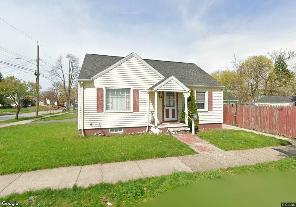
50 Nester St Rochester, NY 14621
Northeast Rochester NeighborhoodEstimated Value: $120,000 - $187,000
2
Beds
2
Baths
1,152
Sq Ft
$126/Sq Ft
Est. Value
About This Home
This home is located at 50 Nester St, Rochester, NY 14621 and is currently estimated at $145,012, approximately $125 per square foot. 50 Nester St is a home located in Monroe County with nearby schools including School 39-Andrew J. Townson, School 9-DR Martin Luther King Jr, and Mary McLeod Bethune School No. 45.
Ownership History
Date
Name
Owned For
Owner Type
Purchase Details
Closed on
Jan 13, 2011
Sold by
Deutsche Bank National Trust Company
Bought by
Dejesus Miguel
Current Estimated Value
Purchase Details
Closed on
Aug 16, 2010
Sold by
Perez Eric
Bought by
Deutsche Bank National Trust Company
Purchase Details
Closed on
Dec 20, 2002
Sold by
Cortese Robert and Cortese Thelma M
Bought by
Cortese Robert and Cortese Thelma M
Purchase Details
Closed on
Oct 19, 1994
Sold by
Muniz Regino
Bought by
Gmac Mortgage Corp Of Pa
Create a Home Valuation Report for This Property
The Home Valuation Report is an in-depth analysis detailing your home's value as well as a comparison with similar homes in the area
Home Values in the Area
Average Home Value in this Area
Purchase History
| Date | Buyer | Sale Price | Title Company |
|---|---|---|---|
| Dejesus Miguel | $24,000 | None Available | |
| Deutsche Bank National Trust Company | $93,120 | None Available | |
| Cortese Robert | -- | Michael Santaniello | |
| Robert Cortese | $23,901 | -- | |
| Gmac Mortgage Corp Of Pa | $45,919 | -- |
Source: Public Records
Tax History Compared to Growth
Tax History
| Year | Tax Paid | Tax Assessment Tax Assessment Total Assessment is a certain percentage of the fair market value that is determined by local assessors to be the total taxable value of land and additions on the property. | Land | Improvement |
|---|---|---|---|---|
| 2024 | $1,151 | $103,700 | $9,200 | $94,500 |
| 2023 | $1,055 | $62,000 | $3,900 | $58,100 |
| 2022 | $1,009 | $62,000 | $3,900 | $58,100 |
| 2021 | $934 | $62,000 | $3,900 | $58,100 |
| 2020 | $1,000 | $62,000 | $3,900 | $58,100 |
| 2019 | $800 | $54,000 | $3,900 | $50,100 |
| 2018 | $0 | $54,000 | $3,900 | $50,100 |
| 2017 | $0 | $54,000 | $3,900 | $50,100 |
| 2016 | $804 | $54,000 | $3,900 | $50,100 |
| 2015 | $1,884 | $54,000 | $3,900 | $50,100 |
| 2014 | $1,884 | $54,000 | $3,900 | $50,100 |
Source: Public Records
Map
Nearby Homes
- 232 Townsend St
- 39 Townsend St
- 32 van Stallen St
- 75 van Stallen St
- 111 van Stallen St Unit 113
- 137 van Stallen St
- 190 Weaver St
- 1358 Hudson Ave
- 68 Weaver St
- 131 Weaver St
- 36 Weyl St
- 27-29 Weaver St
- 238 Weyl St
- 334 E Ridge Rd
- 373 Weaver St
- 330 & 336 Norton St
- 33 Laser St
- 61 Leo St
- 59 Laser St
- 15 Argonne St
- 220 Townsend St
- 226 Townsend St
- 204 Townsend St
- 215 Moulson St
- 221 Moulson St
- 203 Moulson St
- 231 Moulson St
- 196 Townsend St
- 238 Townsend St
- 215 Townsend St
- 199 Moulson St
- 221 Townsend St
- 225 Townsend St
- 237 Moulson St
- 191 Moulson St
- 246 Townsend St
- 186 Townsend St
- 233 Townsend St
- 241 Moulson St
- 189 Moulson St