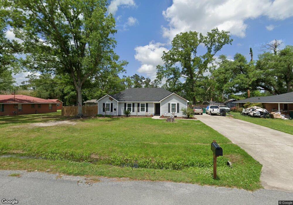
500 W Wayside Dr Westlake, LA 70669
Estimated Value: $171,753 - $174,000
3
Beds
2
Baths
1,513
Sq Ft
$114/Sq Ft
Est. Value
About This Home
This home is located at 500 W Wayside Dr, Westlake, LA 70669 and is currently estimated at $172,938, approximately $114 per square foot. 500 W Wayside Dr is a home located in Calcasieu Parish with nearby schools including Westwood Elementary School, Western Heights Elementary School, and S.P. Arnett Middle School.
Ownership History
Date
Name
Owned For
Owner Type
Purchase Details
Closed on
Mar 17, 2009
Sold by
Leleux Benjamin Harold and Leleux Dawnita Marie
Bought by
Trahan Christopher Brent
Current Estimated Value
Home Financials for this Owner
Home Financials are based on the most recent Mortgage that was taken out on this home.
Original Mortgage
$141,293
Outstanding Balance
$89,891
Interest Rate
5.14%
Mortgage Type
FHA
Estimated Equity
$83,047
Create a Home Valuation Report for This Property
The Home Valuation Report is an in-depth analysis detailing your home's value as well as a comparison with similar homes in the area
Home Values in the Area
Average Home Value in this Area
Purchase History
| Date | Buyer | Sale Price | Title Company |
|---|---|---|---|
| Trahan Christopher Brent | $143,900 | None Available |
Source: Public Records
Mortgage History
| Date | Status | Borrower | Loan Amount |
|---|---|---|---|
| Open | Trahan Christopher Brent | $141,293 |
Source: Public Records
Tax History Compared to Growth
Tax History
| Year | Tax Paid | Tax Assessment Tax Assessment Total Assessment is a certain percentage of the fair market value that is determined by local assessors to be the total taxable value of land and additions on the property. | Land | Improvement |
|---|---|---|---|---|
| 2024 | $137 | $8,780 | $690 | $8,090 |
| 2023 | $137 | $8,780 | $690 | $8,090 |
| 2022 | $141 | $8,780 | $690 | $8,090 |
| 2021 | $137 | $8,780 | $690 | $8,090 |
| 2020 | $867 | $7,940 | $660 | $7,280 |
| 2019 | $987 | $8,730 | $640 | $8,090 |
| 2018 | $129 | $8,730 | $640 | $8,090 |
| 2017 | $941 | $8,730 | $640 | $8,090 |
| 2016 | $934 | $8,730 | $640 | $8,090 |
| 2015 | $954 | $8,730 | $640 | $8,090 |
Source: Public Records
Map
Nearby Homes
- 590 Landry Rd
- 109 W Wayside Dr
- 0 W Wayside Dr Unit SWL25001592
- 600 W Wayside Dr
- 615 Hudson Dr
- 0 Westwood Rd
- 2526 Cox Rd
- 2524 Cox Rd
- 0 Davis Rd
- 2525 Davis Rd
- 2518 Donnelly Rd
- 3200 Westwood Rd Unit 99
- 320 Mcguire Rd
- 0 Fletcher Rd
- 1512 Fairway Dr
- 570 Ann Terrace Ave
- 0 Hogans Alley Unit 134209
- 0 Hogans Alley Unit 134232
- 0 Hogans Alley Unit 134230
- 0 Hogans Alley Unit SWL25101642
- 422 W Wayside Dr
- 501 Hudson Dr
- 511 Hudson Dr
- 421 W Wayside Dr
- 411 Hudson Dr
- 0 Bowie St
- 521 W Wayside Dr
- 401 W Wayside Dr
- 2903 Bowie St
- 601 Hudson Dr
- 326 W Dick Hayes Rd
- 2902 Bowie St
- 601 W Wayside Dr
- 602 W Wayside Dr
- 2902 Bowie(new Const) Rd
- 322 W Wayside Dr
- 0 W Dick Hayes Rd #1 W
- 0 W Dick Hayes Rd
- 329 Hudson Dr
- 603 W Wayside Dr