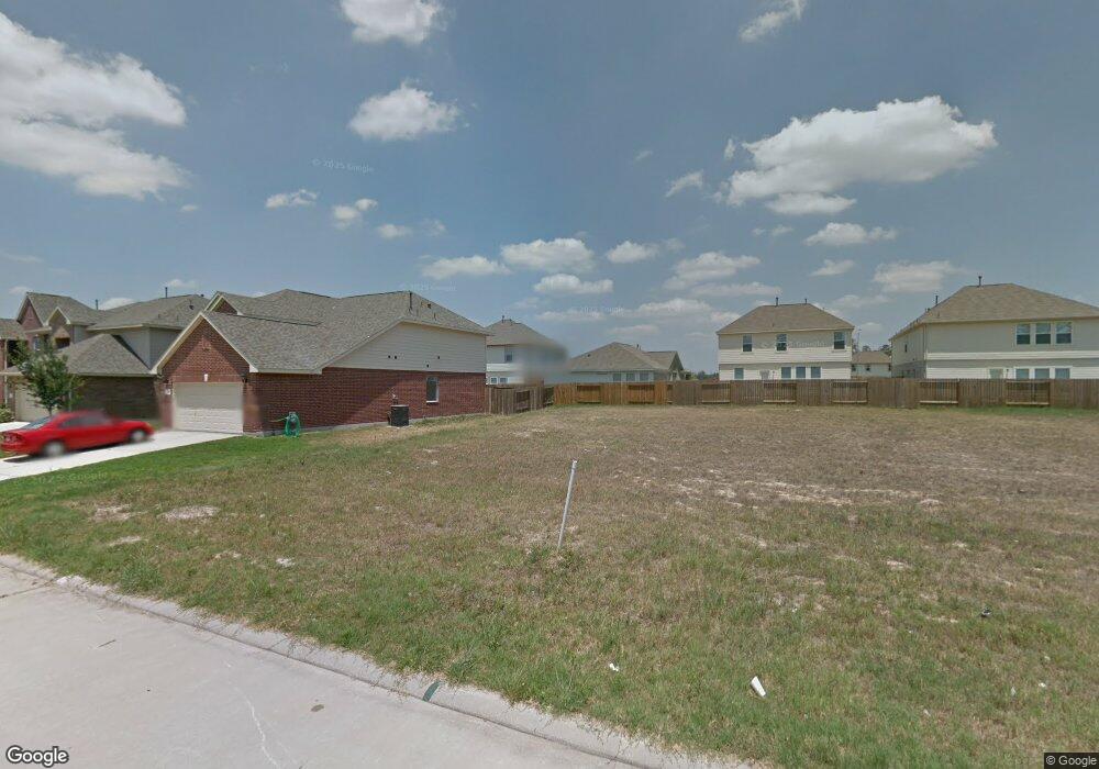
5007 Forest Hurst Dr Spring, TX 77373
Estimated Value: $275,953 - $301,000
4
Beds
3
Baths
2,403
Sq Ft
$121/Sq Ft
Est. Value
About This Home
This home is located at 5007 Forest Hurst Dr, Spring, TX 77373 and is currently estimated at $290,738, approximately $120 per square foot. 5007 Forest Hurst Dr is a home with nearby schools including Chet Burchett Elementary School, Ricky C. Bailey Middle School, and Spring High School.
Ownership History
Date
Name
Owned For
Owner Type
Purchase Details
Closed on
Apr 13, 2012
Sold by
Long Lake Ltd
Bought by
Drab Michael Schaun
Current Estimated Value
Home Financials for this Owner
Home Financials are based on the most recent Mortgage that was taken out on this home.
Original Mortgage
$125,334
Outstanding Balance
$86,610
Interest Rate
3.92%
Mortgage Type
FHA
Estimated Equity
$204,128
Create a Home Valuation Report for This Property
The Home Valuation Report is an in-depth analysis detailing your home's value as well as a comparison with similar homes in the area
Home Values in the Area
Average Home Value in this Area
Purchase History
| Date | Buyer | Sale Price | Title Company |
|---|---|---|---|
| Drab Michael Schaun | -- | South Land Title Llc |
Source: Public Records
Mortgage History
| Date | Status | Borrower | Loan Amount |
|---|---|---|---|
| Open | Drab Michael Schaun | $125,334 |
Source: Public Records
Tax History Compared to Growth
Tax History
| Year | Tax Paid | Tax Assessment Tax Assessment Total Assessment is a certain percentage of the fair market value that is determined by local assessors to be the total taxable value of land and additions on the property. | Land | Improvement |
|---|---|---|---|---|
| 2025 | $5,434 | $270,333 | $45,150 | $225,183 |
| 2024 | $5,434 | $279,361 | $45,150 | $234,211 |
| 2023 | $5,434 | $296,076 | $40,950 | $255,126 |
| 2022 | $5,837 | $258,184 | $19,950 | $238,234 |
| 2021 | $5,534 | $196,804 | $19,950 | $176,854 |
| 2020 | $5,457 | $184,123 | $19,950 | $164,173 |
| 2019 | $5,598 | $182,947 | $19,950 | $162,997 |
| 2018 | $4,493 | $173,774 | $19,950 | $153,824 |
| 2017 | $5,279 | $173,774 | $19,950 | $153,824 |
| 2016 | $4,889 | $167,611 | $19,950 | $147,661 |
| 2015 | $3,814 | $156,583 | $19,950 | $136,633 |
| 2014 | $3,814 | $146,872 | $19,950 | $126,922 |
Source: Public Records
Map
Nearby Homes
- 5110 Forest Terrace Dr
- 5026 Forest Hurst Dr
- 24030 Surreygate Dr
- 3306 Forest Chitto Dr
- 4822 Edgegate Dr
- 24219 Copperleaf Bay Ln
- 23911 Goodfellow Dr
- 24059 Kentwood Springs Dr
- 23319 Greenway Creek Ln
- 3226 Dappled Vale Trail
- 3218 Dappled Vale Trail
- 5203 Mossdale Bluff Ln
- 4919 Tealgate Dr
- 4907 Tealgate Dr
- 23342 Stahl Creeks Ln
- 5223 Mossdale Bluff Ln
- Plan 133 at Breckenridge Park
- Plan 142 at Breckenridge Park
- Plan 140 at Breckenridge Park
- Plan 264 at Breckenridge Park
- 5011 Forest Hurst Dr
- 5003 Forest Hurst Dr
- 4943 Forest Hurst Dr
- 5015 Forest Hurst Dr
- 5010 Colony Hurst Trail
- 5022 Colony Hurst Trail
- 5014 Colony Hurst Trail
- 5018 Colony Hurst Trail
- 5006 Forest Hurst Dr
- 5002 Forest Hurst Dr
- 4939 Forest Hurst Dr
- 5006 Colony Hurst Trail
- 5026 Colony Hurst Trail
- 5010 Forest Hurst Dr
- 5002 Colony Hurst Trail
- 4935 Forest Hurst Dr
- 4942 Forest Hurst Dr
- 5014 Forest Hurst Dr
- 5023 Forest Hurst Dr
- 5030 Colony Hurst Trail