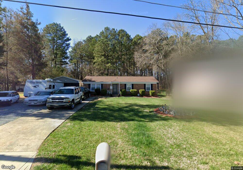
501 Broome St Monroe, NC 28110
Estimated Value: $160,125 - $271,000
3
Beds
2
Baths
1,104
Sq Ft
$200/Sq Ft
Est. Value
About This Home
This home is located at 501 Broome St, Monroe, NC 28110 and is currently estimated at $220,281, approximately $199 per square foot. 501 Broome St is a home located in Union County with nearby schools including Rock Rest Elementary School, East Union Middle School, and Forest Hills High School.
Ownership History
Date
Name
Owned For
Owner Type
Purchase Details
Closed on
Nov 10, 2008
Sold by
Treehouse Vineyards Family Limited Partn
Bought by
Jordan Herbert Lamar and Jordan Diana
Current Estimated Value
Home Financials for this Owner
Home Financials are based on the most recent Mortgage that was taken out on this home.
Original Mortgage
$87,840
Outstanding Balance
$57,746
Interest Rate
6.11%
Mortgage Type
FHA
Estimated Equity
$162,535
Purchase Details
Closed on
Jan 31, 2007
Sold by
Woytisek Glenn R and Woytisek Mary R
Bought by
Treehouse Vineyards Family Lp
Create a Home Valuation Report for This Property
The Home Valuation Report is an in-depth analysis detailing your home's value as well as a comparison with similar homes in the area
Home Values in the Area
Average Home Value in this Area
Purchase History
| Date | Buyer | Sale Price | Title Company |
|---|---|---|---|
| Jordan Herbert Lamar | $89,000 | None Available | |
| Treehouse Vineyards Family Lp | $73,000 | None Available |
Source: Public Records
Mortgage History
| Date | Status | Borrower | Loan Amount |
|---|---|---|---|
| Open | Jordan Herbert Lamar | $87,840 |
Source: Public Records
Tax History Compared to Growth
Tax History
| Year | Tax Paid | Tax Assessment Tax Assessment Total Assessment is a certain percentage of the fair market value that is determined by local assessors to be the total taxable value of land and additions on the property. | Land | Improvement |
|---|---|---|---|---|
| 2024 | $136 | $12,500 | $12,500 | $0 |
| 2023 | $1,012 | $92,800 | $12,500 | $80,300 |
| 2022 | $1,012 | $92,800 | $12,500 | $80,300 |
| 2021 | $1,012 | $92,800 | $12,500 | $80,300 |
| 2020 | $698 | $51,800 | $12,500 | $39,300 |
| 2019 | $698 | $51,800 | $12,500 | $39,300 |
| 2018 | $319 | $51,800 | $12,500 | $39,300 |
| 2017 | $708 | $51,800 | $12,500 | $39,300 |
| 2016 | $701 | $51,800 | $12,500 | $39,300 |
| 2015 | $402 | $51,800 | $12,500 | $39,300 |
| 2014 | $987 | $80,870 | $16,950 | $63,920 |
Source: Public Records
Map
Nearby Homes
- 2707 Mason St
- 1115 Unionville Indian Trail St Unit 1
- 104 Florence Dr
- 0 Old Pageland Monroe Rd Unit CAR4224859
- Findlay II Plan at Willoughby Park
- Crawford Plan at Willoughby Park
- 416 Willoughby Park Dr
- 508 Willoughby Park Dr
- Savoy II Plan at Willoughby Park
- Draper II Plan at Willoughby Park
- 1801 Augustine St
- 500 Willoughby Park Dr
- Graham II Plan at Willoughby Park
- Bexley II Plan at Willoughby Park
- Dearborn II Plan at Willoughby Park
- 408 Willoughby Park Dr
- 504 Willoughby Park Dr
- Erie II Plan at Willoughby Park
- 217 E Old Highway 74
- 2109 Confederate St
- 503 Broome St Unit 16
- 407 Broome St
- 505 Broome St Unit 15
- 403 Broome St
- 507 Broome St Unit 14
- 511 Broome St
- 412 N Secrest Ave
- 2801 Mason St
- 406 N Secrest Ave
- 414 N Secrest Ave
- 404 N Secrest Ave
- 416 N Secrest Ave
- 2805 Mason St
- 506 N Secrest Ave
- 508 N Secrest Ave
- 515 Broome St
- 510 N Secrest Ave
- 411 N Secrest Ave
- 512 N Secrest Ave
- 407 N Secrest Ave