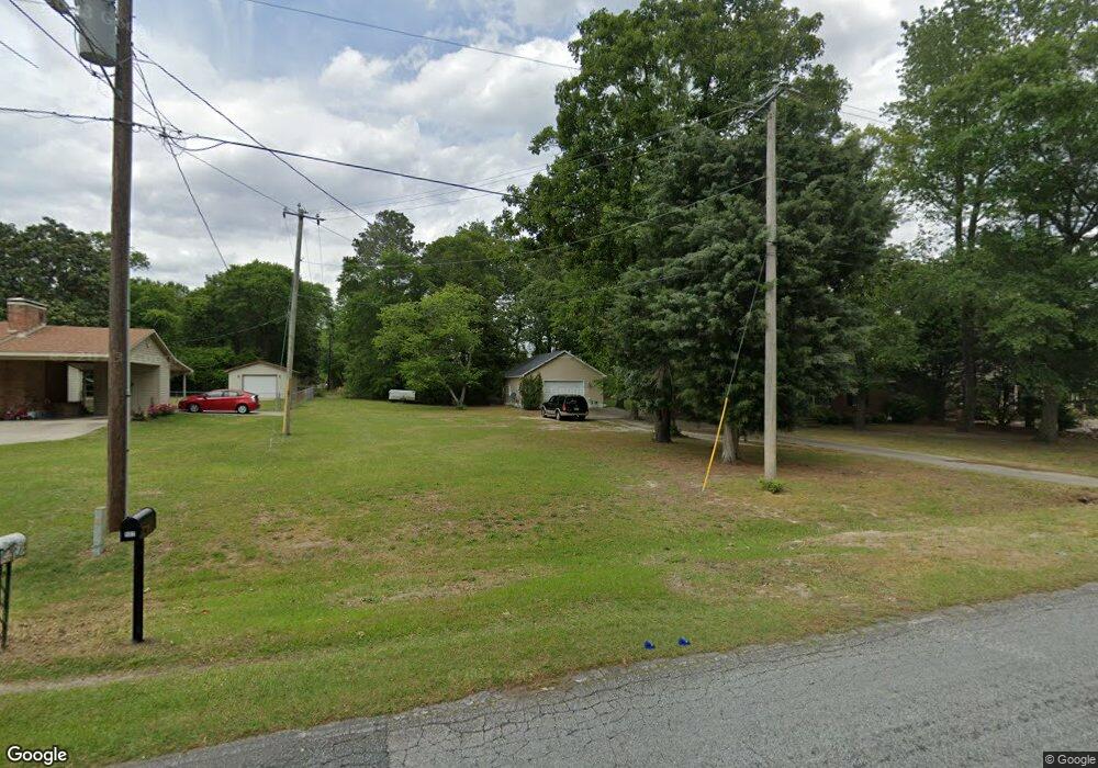
501 Fire Tower Rd La Grange, NC 28551
Estimated Value: $140,000 - $196,000
3
Beds
1
Bath
1,000
Sq Ft
$171/Sq Ft
Est. Value
About This Home
This home is located at 501 Fire Tower Rd, La Grange, NC 28551 and is currently estimated at $171,104, approximately $171 per square foot. 501 Fire Tower Rd is a home located in Lenoir County with nearby schools including La Grange Elementary School, E.B. Frink Middle School, and North Lenoir High School.
Ownership History
Date
Name
Owned For
Owner Type
Purchase Details
Closed on
Oct 10, 2023
Sold by
Alphin Jean Carter and Alphin William Lee
Bought by
Jenkins Nicole
Current Estimated Value
Home Financials for this Owner
Home Financials are based on the most recent Mortgage that was taken out on this home.
Original Mortgage
$15,000
Outstanding Balance
$14,708
Interest Rate
7.18%
Estimated Equity
$156,396
Create a Home Valuation Report for This Property
The Home Valuation Report is an in-depth analysis detailing your home's value as well as a comparison with similar homes in the area
Home Values in the Area
Average Home Value in this Area
Purchase History
| Date | Buyer | Sale Price | Title Company |
|---|---|---|---|
| Jenkins Nicole | $175,000 | None Listed On Document |
Source: Public Records
Mortgage History
| Date | Status | Borrower | Loan Amount |
|---|---|---|---|
| Open | Jenkins Nicole | $15,000 | |
| Open | Jenkins Nicole | $162,500 |
Source: Public Records
Tax History Compared to Growth
Tax History
| Year | Tax Paid | Tax Assessment Tax Assessment Total Assessment is a certain percentage of the fair market value that is determined by local assessors to be the total taxable value of land and additions on the property. | Land | Improvement |
|---|---|---|---|---|
| 2025 | $1,551 | $154,611 | $30,314 | $124,297 |
| 2024 | $1,136 | $82,525 | $16,000 | $66,525 |
| 2023 | $1,136 | $82,525 | $16,000 | $66,525 |
| 2022 | $1,136 | $82,525 | $16,000 | $66,525 |
| 2021 | $1,136 | $82,525 | $16,000 | $66,525 |
| 2020 | $1,136 | $82,525 | $16,000 | $66,525 |
| 2019 | $1,136 | $82,525 | $16,000 | $66,525 |
| 2018 | $1,124 | $82,525 | $16,000 | $66,525 |
| 2017 | $1,128 | $82,525 | $16,000 | $66,525 |
| 2014 | $1,027 | $79,909 | $16,000 | $63,909 |
| 2013 | -- | $79,909 | $16,000 | $63,909 |
| 2011 | -- | $79,909 | $16,000 | $63,909 |
Source: Public Records
Map
Nearby Homes
- 805 Madison Ann Dr
- Hayden Plan at Blair Ridge
- Freeport Plan at Blair Ridge
- Cali Plan at Blair Ridge
- Belhaven Plan at Blair Ridge
- 210 Wood St
- 201 Wood St
- 202 Wood St
- 208 Wood St
- 217 Wood St
- 204 Wood St
- 205 Wood St
- 206 Wood St
- 101 Forest Dr
- 219 Wood St
- 3619 S Caswell St
- 614 S Caswell St
- 6272 Highway 70 E
- 4725 Packhouse Rd
- 202 E Washington St
- 501 Firetower Rd
- 503 Fire Tower Rd
- 409 Fire Tower Rd
- 0 Firetower Rd
- 407 Firetower Rd
- 407 Fire Tower Rd
- 502 Fire Tower Rd
- 504 Fire Tower Rd
- 410 Fire Tower Rd
- 408 Fire Tower Rd
- 403 Fire Tower Rd
- 407 Spence St
- 406 Fire Tower Rd
- 804 Madison Ann Dr
- 806 Madison Ann Dr
- 802 Madison Ann Dr Unit Lot 49
- 802 Madison Ann Dr
- 401 Fire Tower Rd
- 405 Spence St
- 808 Madison Ann Dr