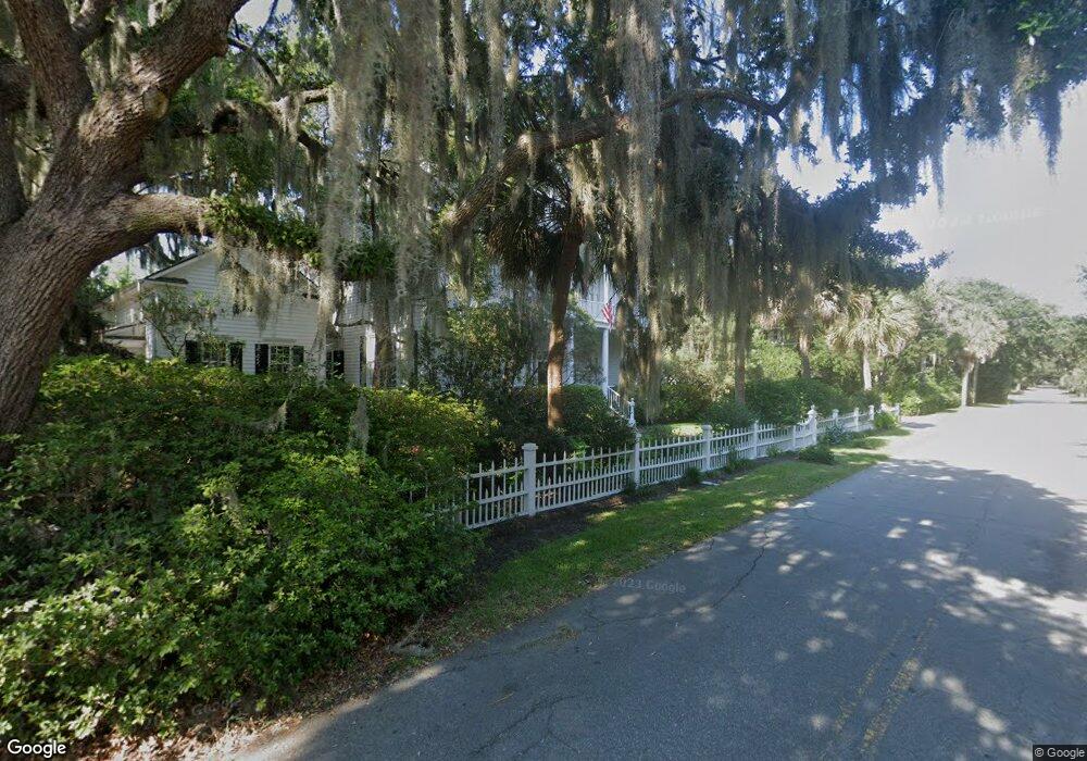
501 King St Beaufort, SC 29902
Estimated Value: $1,748,000 - $3,246,000
4
Beds
5
Baths
3,964
Sq Ft
$589/Sq Ft
Est. Value
About This Home
This home is located at 501 King St, Beaufort, SC 29902 and is currently estimated at $2,335,239, approximately $589 per square foot. 501 King St is a home located in Beaufort County with nearby schools including Beaufort Elementary School, Beaufort Middle School, and Battery Creek High School.
Ownership History
Date
Name
Owned For
Owner Type
Purchase Details
Closed on
Sep 16, 2011
Sold by
Ivy Conway G
Bought by
Ivy Conway G and Ivy Diane E
Current Estimated Value
Purchase Details
Closed on
Oct 18, 2005
Sold by
Givens R Michael and Givens Nicole M
Bought by
Ivy Conway G
Home Financials for this Owner
Home Financials are based on the most recent Mortgage that was taken out on this home.
Original Mortgage
$1,000,000
Outstanding Balance
$537,942
Interest Rate
5.84%
Mortgage Type
Fannie Mae Freddie Mac
Estimated Equity
$1,797,297
Create a Home Valuation Report for This Property
The Home Valuation Report is an in-depth analysis detailing your home's value as well as a comparison with similar homes in the area
Home Values in the Area
Average Home Value in this Area
Purchase History
| Date | Buyer | Sale Price | Title Company |
|---|---|---|---|
| Ivy Conway G | -- | -- | |
| Ivy Conway G | $1,515,000 | None Available |
Source: Public Records
Mortgage History
| Date | Status | Borrower | Loan Amount |
|---|---|---|---|
| Open | Ivy Conway G | $1,000,000 |
Source: Public Records
Tax History Compared to Growth
Tax History
| Year | Tax Paid | Tax Assessment Tax Assessment Total Assessment is a certain percentage of the fair market value that is determined by local assessors to be the total taxable value of land and additions on the property. | Land | Improvement |
|---|---|---|---|---|
| 2024 | $14,313 | $81,620 | $0 | $0 |
| 2023 | $14,313 | $81,620 | $0 | $0 |
| 2022 | $12,919 | $70,980 | $0 | $0 |
| 2021 | $12,919 | $70,980 | $0 | $0 |
| 2020 | $12,954 | $75,128 | $15,884 | $59,244 |
| 2019 | $11,343 | $68,724 | $15,884 | $52,840 |
| 2018 | $11,108 | $64,570 | $0 | $0 |
| 2017 | $9,624 | $56,150 | $0 | $0 |
| 2016 | $9,505 | $56,150 | $0 | $0 |
| 2014 | $16,558 | $56,150 | $0 | $0 |
Source: Public Records
Map
Nearby Homes
- 614 Prince St
- 409 Federal St
- 609 Carteret St
- 414 New St
- 306 King St
- 809 Hamilton St
- 409 Carteret St
- 604 Pinckney St
- 804 Carteret St
- 401 Port Republic St
- 808 Washington St
- 1106 Craven St
- 0 Craven St
- 206 Carteret St
- 808 Charles St
- 916 Bay St
- 1210 Barnwell Bluff
- 1202 Barnwell Bluff
- 1304 Barnwell Bluff
- 1215 Prince St