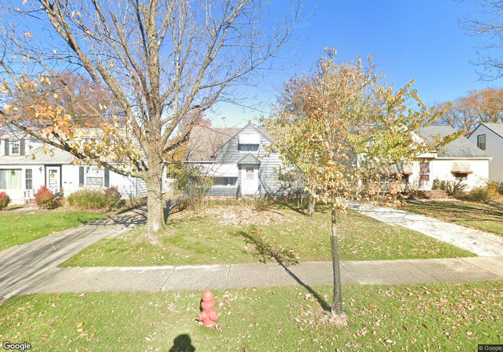
5011 N Barton Rd Cleveland, OH 44124
Estimated Value: $182,000 - $223,000
4
Beds
2
Baths
1,648
Sq Ft
$126/Sq Ft
Est. Value
About This Home
This home is located at 5011 N Barton Rd, Cleveland, OH 44124 and is currently estimated at $207,110, approximately $125 per square foot. 5011 N Barton Rd is a home located in Cuyahoga County with nearby schools including Greenview Upper Elementary School, Sunview Elementary School, and Memorial Junior High School.
Ownership History
Date
Name
Owned For
Owner Type
Purchase Details
Closed on
Jan 4, 2018
Sold by
Howe Susan J and Estate Of Betty J Dohnal
Bought by
Anderson David S
Current Estimated Value
Home Financials for this Owner
Home Financials are based on the most recent Mortgage that was taken out on this home.
Original Mortgage
$83,028
Outstanding Balance
$70,613
Interest Rate
4.25%
Mortgage Type
FHA
Estimated Equity
$136,497
Purchase Details
Closed on
Nov 18, 1992
Sold by
Dohnal Emil K
Bought by
Dohnal Betty
Purchase Details
Closed on
Apr 6, 1988
Sold by
Dohnal Emil K
Bought by
Dohnal Emil K
Purchase Details
Closed on
May 19, 1978
Sold by
Dohnal Emil K and Dohnal Mary
Bought by
Dohnal Emil K
Purchase Details
Closed on
Jan 1, 1975
Bought by
Dohnal Emil K and Dohnal Mary
Create a Home Valuation Report for This Property
The Home Valuation Report is an in-depth analysis detailing your home's value as well as a comparison with similar homes in the area
Home Values in the Area
Average Home Value in this Area
Purchase History
| Date | Buyer | Sale Price | Title Company |
|---|---|---|---|
| Anderson David S | $96,000 | Greater Cleveland Title | |
| Dohnal Betty | -- | -- | |
| Dohnal Emil K | -- | -- | |
| Dohnal Emil K | -- | -- | |
| Dohnal Emil K | -- | -- |
Source: Public Records
Mortgage History
| Date | Status | Borrower | Loan Amount |
|---|---|---|---|
| Open | Anderson David S | $83,028 |
Source: Public Records
Tax History Compared to Growth
Tax History
| Year | Tax Paid | Tax Assessment Tax Assessment Total Assessment is a certain percentage of the fair market value that is determined by local assessors to be the total taxable value of land and additions on the property. | Land | Improvement |
|---|---|---|---|---|
| 2024 | $3,709 | $52,710 | $11,305 | $41,405 |
| 2023 | $2,961 | $33,610 | $8,860 | $24,750 |
| 2022 | $2,945 | $33,600 | $8,860 | $24,750 |
| 2021 | $2,920 | $33,600 | $8,860 | $24,750 |
| 2020 | $3,771 | $38,570 | $6,930 | $31,640 |
| 2019 | $3,400 | $110,200 | $19,800 | $90,400 |
| 2018 | $3,468 | $38,570 | $6,930 | $31,640 |
| 2017 | $3,842 | $39,420 | $7,250 | $32,170 |
| 2016 | $3,814 | $39,420 | $7,250 | $32,170 |
| 2015 | $2,977 | $39,420 | $7,250 | $32,170 |
| 2014 | $2,977 | $40,220 | $7,390 | $32,830 |
Source: Public Records
Map
Nearby Homes
- 888 Richmond Rd
- 5163 Lynd Ave
- 4880 Anderson Rd
- 4860 Anderson Rd
- 981 Hanley Rd
- 4859 Delevan Dr
- 4832 Monticello Blvd
- 5247 Case Ave
- 4875 Geraldine Rd
- 4808 Geraldine Rd
- 4866 Fairlawn Rd
- 4785 Donald Ave
- 5284 Wilson Mills Rd
- 4742 Anderson Rd
- 4769 Edenwood Rd
- 4765 Monticello Blvd
- 4781 Dorshwood Rd
- 684 Allison Dr Unit 684
- 731 Edgewood Rd
- 5268 Edenhurst Rd
- 5015 N Barton Rd
- 5005 N Barton Rd
- 4997 N Barton Rd
- 5023 N Barton Rd
- 5008 Anderson Rd
- 5012 Anderson Rd
- 5004 Anderson Rd
- 4993 N Barton Rd
- 5016 Anderson Rd
- 4996 Anderson Rd
- 5012 N Barton Rd
- 5024 Anderson Rd
- 5027 N Barton Rd
- 5016 N Barton Rd
- 5006 N Barton Rd
- 5020 N Barton Rd
- 4989 N Barton Rd
- 4998 N Barton Rd
- 5036 N Barton Rd
- 4992 Anderson Rd