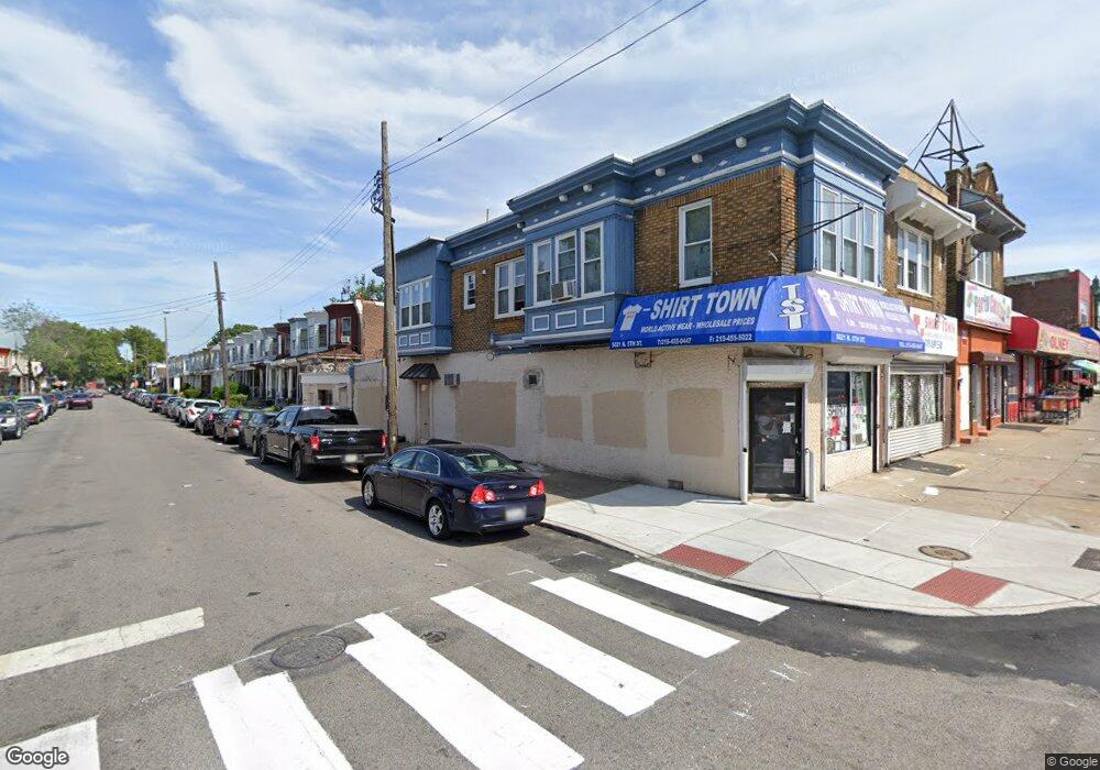
5021 N 5th St Philadelphia, PA 19120
Olney NeighborhoodEstimated Value: $151,228
--
Bed
2
Baths
1,650
Sq Ft
$92/Sq Ft
Est. Value
About This Home
This home is located at 5021 N 5th St, Philadelphia, PA 19120 and is currently estimated at $151,228, approximately $91 per square foot. 5021 N 5th St is a home located in Philadelphia County with nearby schools including Andrew J. Morrison School, Birney Preparatory Academy, and Olney Charter High School.
Ownership History
Date
Name
Owned For
Owner Type
Purchase Details
Closed on
Jun 12, 2014
Sold by
Won Min B
Bought by
Fisher Nathan
Current Estimated Value
Purchase Details
Closed on
May 27, 2011
Sold by
Acero Amanada and Rodriguez Orlando Acera
Bought by
Rodriguez Orlando Acero
Purchase Details
Closed on
Aug 10, 2009
Sold by
The Bank Of New York Mellon
Bought by
Won Min B
Purchase Details
Closed on
Dec 8, 2008
Sold by
Wi Hee Soon and Wi Hyong Jin
Bought by
The Bank Of New York Mellon
Create a Home Valuation Report for This Property
The Home Valuation Report is an in-depth analysis detailing your home's value as well as a comparison with similar homes in the area
Home Values in the Area
Average Home Value in this Area
Purchase History
| Date | Buyer | Sale Price | Title Company |
|---|---|---|---|
| Fisher Nathan | $70,000 | Liberty Bell Agency Inc | |
| Rodriguez Orlando Acero | -- | None Available | |
| Won Min B | $91,500 | None Available | |
| The Bank Of New York Mellon | $5,900 | None Available |
Source: Public Records
Tax History Compared to Growth
Tax History
| Year | Tax Paid | Tax Assessment Tax Assessment Total Assessment is a certain percentage of the fair market value that is determined by local assessors to be the total taxable value of land and additions on the property. | Land | Improvement |
|---|---|---|---|---|
| 2025 | $1,757 | $114,700 | $22,940 | $91,760 |
| 2024 | $1,757 | $114,700 | $22,940 | $91,760 |
| 2023 | $1,757 | $125,500 | $25,100 | $100,400 |
| 2022 | $1,562 | $125,500 | $25,100 | $100,400 |
| 2021 | $1,562 | $0 | $0 | $0 |
| 2020 | $1,562 | $0 | $0 | $0 |
| 2019 | $1,547 | $0 | $0 | $0 |
| 2018 | $1,460 | $0 | $0 | $0 |
| 2017 | $2,273 | $0 | $0 | $0 |
| 2016 | $2,273 | $0 | $0 | $0 |
| 2015 | $1,883 | $0 | $0 | $0 |
| 2014 | -- | $162,400 | $11,798 | $150,602 |
Source: Public Records
Map
Nearby Homes
- 429 W Ashdale St
- 5010 N 5th St
- 0 Lindley Ave
- 5111 N Fairhill St
- 515-17 W Ruscomb St
- 4937 N 5th St
- 5112 N Fairhill St
- 5134 N Fairhill St
- 313 Lindley Ave
- 5149 N Fairhill St
- 520 W Duncannon Ave
- 258 W Sheldon St
- 267 W Sheldon St
- 638 W Rockland St
- 542 W Rockland St
- 253 W Albanus St
- 263 W Sulis St
- 267 Rubicam St
- 5245 N 5th St
- 2511 N Leithgow St
- 5017 N 5th St
- 5011-15 N 5th St
- 5023 N 5th St
- 5011 N 5th St
- 442 W Ashdale St
- 444 W Ashdale St
- 440 W Ashdale St
- 5025 N 5th St
- 438 W Ashdale St
- 548 Lindley Ave
- 5009 N 5th St
- 436 W Ashdale St
- 5027 N 5th St
- 434 W Ashdale St
- 5029 N 5th St
- 439 W Ashdale St
- 5031 N 5th St
- 432 W Ashdale St
- 437 W Ashdale St
- 5005 N 5th St