5039 Santa Elena Ct Granbury, TX 76049
Estimated Value: $672,000 - $736,824
3
Beds
4
Baths
3,362
Sq Ft
$211/Sq Ft
Est. Value
About This Home
This home is located at 5039 Santa Elena Ct, Granbury, TX 76049 and is currently estimated at $709,206, approximately $210 per square foot. 5039 Santa Elena Ct is a home located in Hood County with nearby schools including Acton Elementary School, Acton Middle School, and Granbury High School.
Ownership History
Date
Name
Owned For
Owner Type
Purchase Details
Closed on
Jan 25, 2018
Sold by
Curtis Larry Glynn and Curtis Lanita Gayle
Bought by
Curtis 2017 Family Trust
Current Estimated Value
Purchase Details
Closed on
Jan 14, 2008
Sold by
Butler James M
Bought by
Curtis Gayle L and Curtis Larry G
Home Financials for this Owner
Home Financials are based on the most recent Mortgage that was taken out on this home.
Original Mortgage
$275,000
Outstanding Balance
$170,796
Interest Rate
5.94%
Mortgage Type
Purchase Money Mortgage
Estimated Equity
$538,410
Purchase Details
Closed on
Apr 27, 1981
Sold by
Hahn Granville
Bought by
Curtis Gayle L Etvir Larry G
Create a Home Valuation Report for This Property
The Home Valuation Report is an in-depth analysis detailing your home's value as well as a comparison with similar homes in the area
Home Values in the Area
Average Home Value in this Area
Purchase History
| Date | Buyer | Sale Price | Title Company |
|---|---|---|---|
| Curtis 2017 Family Trust | -- | None Available | |
| Curtis Gayle L | -- | None Available | |
| Curtis Gayle L Etvir Larry G | -- | -- |
Source: Public Records
Mortgage History
| Date | Status | Borrower | Loan Amount |
|---|---|---|---|
| Open | Curtis Gayle L | $275,000 |
Source: Public Records
Tax History Compared to Growth
Tax History
| Year | Tax Paid | Tax Assessment Tax Assessment Total Assessment is a certain percentage of the fair market value that is determined by local assessors to be the total taxable value of land and additions on the property. | Land | Improvement |
|---|---|---|---|---|
| 2025 | $7,456 | $621,750 | $185,000 | $436,750 |
| 2024 | $7,142 | $586,950 | $185,000 | $401,950 |
| 2023 | $7,533 | $619,060 | $185,000 | $434,060 |
| 2022 | $9,094 | $683,400 | $155,000 | $528,400 |
| 2021 | $6,392 | $416,400 | $120,000 | $296,400 |
| 2020 | $6,117 | $393,850 | $120,000 | $273,850 |
| 2019 | $6,009 | $369,620 | $120,000 | $249,620 |
| 2018 | $5,706 | $351,000 | $120,000 | $231,000 |
| 2017 | $5,723 | $342,230 | $120,000 | $222,230 |
| 2016 | $5,254 | $314,180 | $120,000 | $194,180 |
| 2015 | $5,005 | $284,090 | $72,000 | $212,090 |
| 2014 | $5,005 | $302,090 | $90,000 | $212,090 |
Source: Public Records
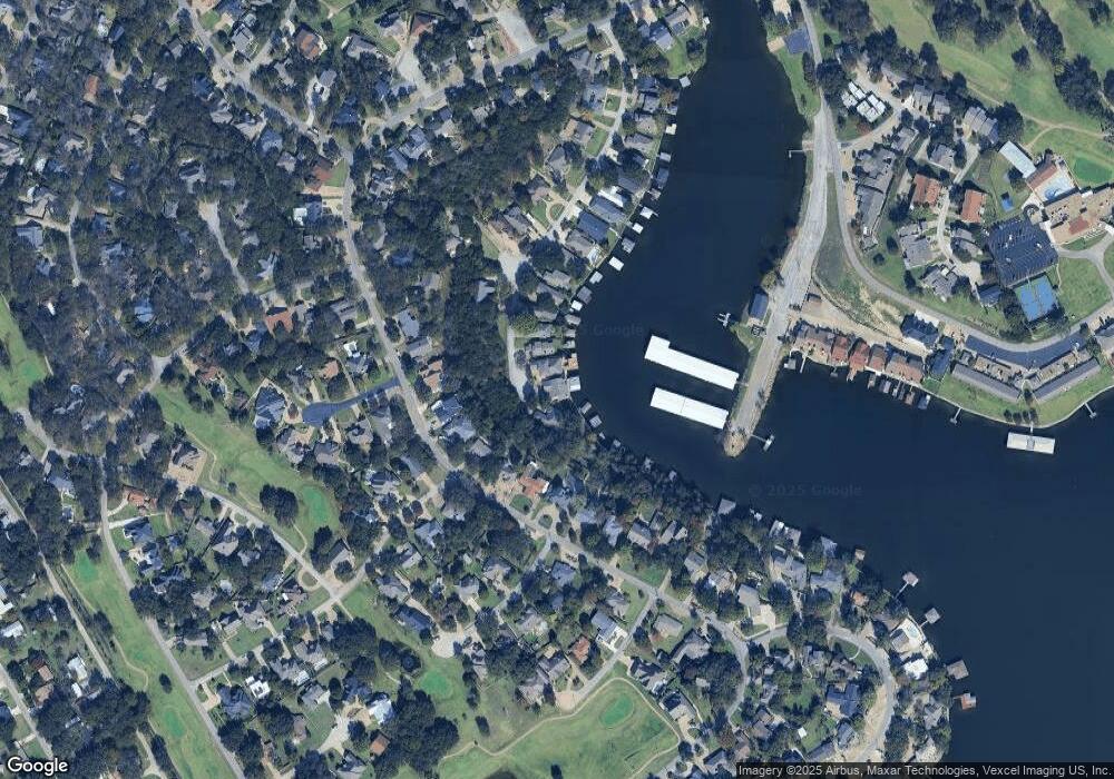
Map
Nearby Homes
- 5041 Santa Elena Ct
- 5040 Santa Elena Ct
- 4900 Del Rio Ct
- 4902 Boquillas Ct E
- 5128 Country Club Dr
- 4900 Rio Vista Dr
- 4901 Fairway Ct
- 5207 Fairway Cir
- 5200 Country Club Dr
- 4314 Overlook Ct
- 4009 Scenic Way
- 5217 Fairway Cir
- 3620 Montgomery Dr
- 5515 Club Cove Ct
- 3625 Montego Blvd
- 4904 Fairway Place Ct
- 5102 Largo Dr
- 3905 Montgomery Dr
- 3620 Gerry Dr
- 4116 Fairway Dr
- 5037 Santa Elena Ct
- 5035 Santa Elena Ct
- 5033 Santa Elena Ct
- 5036 Santa Elena Ct
- 5031 Santa Elena Ct
- 5029 Santa Elena Ct
- 5117 Fairway Cir
- 5121 Fairway Cir
- 5115 Fairway Cir
- 5119 Fairway Cir
- 5113 Fairway Cir
- 5111 Fairway Cir
- 5111 Fairway Cir
- 5027 Santa Elena Ct
- 5109 Fairway Cir
- 5032 Santa Elena Ct
- 5025 Santa Elena Ct
- 5123 Fairway Cir
- 5107 Fairway Cir
- 5023 Santa Elena Ct