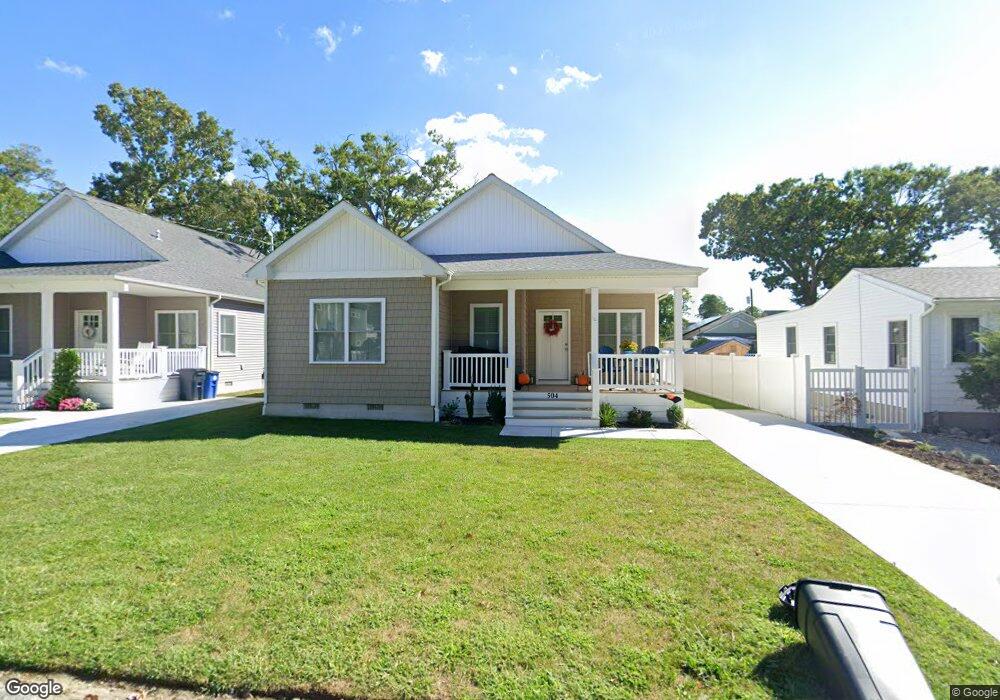
504 Fern Rd Lower Township, NJ 08251
Estimated Value: $751,000 - $833,929
3
Beds
2
Baths
1,648
Sq Ft
$481/Sq Ft
Est. Value
About This Home
This home is located at 504 Fern Rd, Lower Township, NJ 08251 and is currently estimated at $792,465, approximately $480 per square foot. 504 Fern Rd is a home located in Cape May County with nearby schools including David C. Douglass Veterans Memorial School, Carl T. Mitnick School, and Maud Abrams School.
Ownership History
Date
Name
Owned For
Owner Type
Purchase Details
Closed on
Oct 18, 2024
Sold by
Salasin Robert
Bought by
Johnson Geoffrey R and Johnson Barbara B
Current Estimated Value
Home Financials for this Owner
Home Financials are based on the most recent Mortgage that was taken out on this home.
Original Mortgage
$603,750
Outstanding Balance
$597,403
Interest Rate
6.35%
Mortgage Type
New Conventional
Estimated Equity
$195,062
Purchase Details
Closed on
Feb 28, 2024
Sold by
Power Home Improvements Llc
Bought by
Salasin Robert
Create a Home Valuation Report for This Property
The Home Valuation Report is an in-depth analysis detailing your home's value as well as a comparison with similar homes in the area
Home Values in the Area
Average Home Value in this Area
Purchase History
| Date | Buyer | Sale Price | Title Company |
|---|---|---|---|
| Johnson Geoffrey R | $805,000 | Seaboard Title | |
| Salasin Robert | -- | None Listed On Document |
Source: Public Records
Mortgage History
| Date | Status | Borrower | Loan Amount |
|---|---|---|---|
| Open | Johnson Geoffrey R | $603,750 |
Source: Public Records
Tax History Compared to Growth
Tax History
| Year | Tax Paid | Tax Assessment Tax Assessment Total Assessment is a certain percentage of the fair market value that is determined by local assessors to be the total taxable value of land and additions on the property. | Land | Improvement |
|---|---|---|---|---|
| 2025 | $1,268 | $377,400 | $117,800 | $259,600 |
| 2024 | $1,268 | $62,500 | $62,500 | $0 |
| 2023 | $1,249 | $62,500 | $62,500 | $0 |
| 2022 | $1,211 | $62,500 | $62,500 | $0 |
| 2021 | $1,175 | $62,500 | $62,500 | $0 |
| 2020 | $1,156 | $62,500 | $62,500 | $0 |
| 2019 | $1,128 | $62,500 | $62,500 | $0 |
| 2018 | $1,101 | $62,500 | $62,500 | $0 |
| 2017 | $1,102 | $62,500 | $62,500 | $0 |
| 2016 | $1,085 | $62,500 | $62,500 | $0 |
| 2015 | $1,050 | $62,500 | $62,500 | $0 |
| 2014 | $1,016 | $62,500 | $62,500 | $0 |
Source: Public Records
Map
Nearby Homes
- 514 Baywyn Rd
- 412 Hollywood Rd
- 18 Pinewood Rd
- 3005 Shore Dr
- 2 Fernwood Rd
- 101 Avalon Rd
- 2988 Bybrook Dr
- 2710 Bybrook Dr
- 118 Shadeland Ave
- 203 Shadeland Ave
- 111A Racetrack Dr
- 106 Racetrack Dr
- 319 Roseann Ave
- 221 Cedardale Ave
- 9 Cedardale Ct
- BRISTOL Plan at Shawmount Village
- 14 Cedardale Ct
- 12 Cedardale Ct
- 3 Cedardale Ct
- 402 2nd Ave