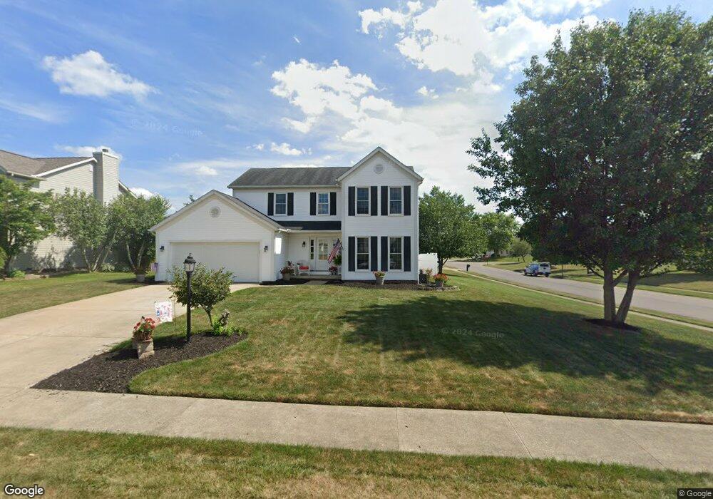
504 Shawnee St Louisville, OH 44641
Estimated Value: $267,463 - $299,000
3
Beds
3
Baths
1,842
Sq Ft
$153/Sq Ft
Est. Value
About This Home
This home is located at 504 Shawnee St, Louisville, OH 44641 and is currently estimated at $282,616, approximately $153 per square foot. 504 Shawnee St is a home located in Stark County with nearby schools including Louisville High School and St. Thomas Aquinas High School & Middle School.
Ownership History
Date
Name
Owned For
Owner Type
Purchase Details
Closed on
Jun 28, 1996
Sold by
Buffalo Ridge Allotment
Bought by
Terra Kenneth R and Terra Mary
Current Estimated Value
Home Financials for this Owner
Home Financials are based on the most recent Mortgage that was taken out on this home.
Original Mortgage
$98,900
Outstanding Balance
$6,683
Interest Rate
7.5%
Mortgage Type
New Conventional
Estimated Equity
$275,933
Create a Home Valuation Report for This Property
The Home Valuation Report is an in-depth analysis detailing your home's value as well as a comparison with similar homes in the area
Home Values in the Area
Average Home Value in this Area
Purchase History
| Date | Buyer | Sale Price | Title Company |
|---|---|---|---|
| Terra Kenneth R | $21,500 | -- |
Source: Public Records
Mortgage History
| Date | Status | Borrower | Loan Amount |
|---|---|---|---|
| Open | Terra Kenneth R | $98,900 |
Source: Public Records
Tax History Compared to Growth
Tax History
| Year | Tax Paid | Tax Assessment Tax Assessment Total Assessment is a certain percentage of the fair market value that is determined by local assessors to be the total taxable value of land and additions on the property. | Land | Improvement |
|---|---|---|---|---|
| 2025 | -- | $90,410 | $17,750 | $72,660 |
| 2024 | -- | $90,410 | $17,750 | $72,660 |
| 2023 | $2,765 | $64,340 | $17,610 | $46,730 |
| 2022 | $2,771 | $64,340 | $17,610 | $46,730 |
| 2021 | $2,778 | $64,340 | $17,610 | $46,730 |
| 2020 | $2,338 | $58,800 | $15,890 | $42,910 |
| 2019 | $2,348 | $58,800 | $15,890 | $42,910 |
| 2018 | $2,339 | $58,800 | $15,890 | $42,910 |
| 2017 | $2,227 | $54,040 | $12,950 | $41,090 |
| 2016 | $2,273 | $54,040 | $12,950 | $41,090 |
| 2015 | $2,280 | $54,040 | $12,950 | $41,090 |
| 2014 | $117 | $46,660 | $11,200 | $35,460 |
| 2013 | $1,062 | $46,660 | $11,200 | $35,460 |
Source: Public Records
Map
Nearby Homes
- 908 Sand Lot Cir
- 1702 View Pointe Ave
- 1639 Horizon Dr
- 8225 Georgetown St
- 510 S Bauman Ct
- 520 S Silver St
- 641 S Nickelplate St
- 728 E Broad St
- 204 E Broad St
- 107 E Broad St
- 6969 Georgetown St NE
- 2425 Miday Ave NE
- 308 Superior St
- 1715 High St
- 2110 Edmar St
- 3390 Meese Rd NE
- 1812 E Broad St
- 325 Lincoln Ave
- 0 Michigan Blvd
- 201 Indiana Ave
- 514 Shawnee St
- 414 Shawnee Cir
- 1924 Cherokee Ave
- 515 Buffalo Ridge St
- 524 Shawnee St
- 505 Shawnee St
- 415 Buffalo Ridge St
- 515 Shawnee St
- 404 Shawnee Cir
- 525 Buffalo Ridge St
- 1825 Cherokee Ave
- 525 Shawnee St
- 604 Shawnee St
- 405 Buffalo Ridge St
- 405 Shawnee Cir
- 605 Buffalo Ridge St
- 314 Shawnee Cir
- 605 Shawnee St
- 315 Buffalo Ridge St
- 2014 Cherokee Ave