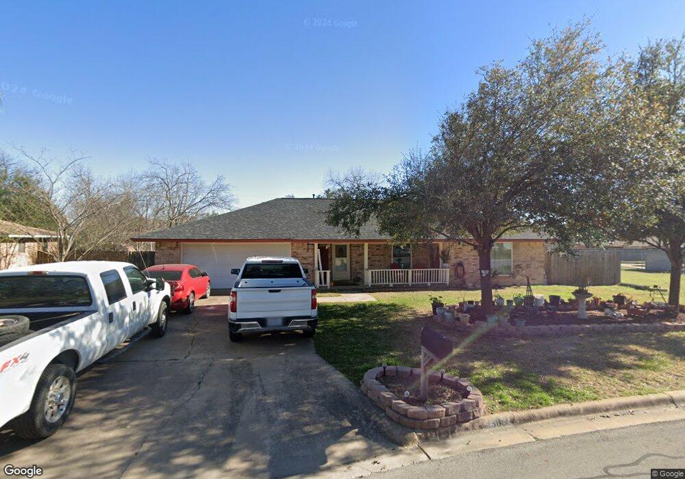
505 Sara Dr Round Rock, TX 78664
Stony Point NeighborhoodEstimated Value: $360,425 - $418,000
--
Bed
2
Baths
1,683
Sq Ft
$227/Sq Ft
Est. Value
About This Home
This home is located at 505 Sara Dr, Round Rock, TX 78664 and is currently estimated at $382,856, approximately $227 per square foot. 505 Sara Dr is a home located in Williamson County with nearby schools including Robertson Elementary School, Hernandez Middle School, and Stony Point High IB World School.
Ownership History
Date
Name
Owned For
Owner Type
Purchase Details
Closed on
Aug 6, 2007
Sold by
Deutsche Bank National Trust Co
Bought by
Martinez George
Current Estimated Value
Home Financials for this Owner
Home Financials are based on the most recent Mortgage that was taken out on this home.
Original Mortgage
$115,925
Interest Rate
6.66%
Mortgage Type
Purchase Money Mortgage
Purchase Details
Closed on
Jun 5, 2007
Sold by
Holloway Tina Kim
Bought by
Deutsche Bank National Trust Co
Create a Home Valuation Report for This Property
The Home Valuation Report is an in-depth analysis detailing your home's value as well as a comparison with similar homes in the area
Home Values in the Area
Average Home Value in this Area
Purchase History
| Date | Buyer | Sale Price | Title Company |
|---|---|---|---|
| Martinez George | -- | First American Title Co | |
| Deutsche Bank National Trust Co | $119,498 | None Available |
Source: Public Records
Mortgage History
| Date | Status | Borrower | Loan Amount |
|---|---|---|---|
| Previous Owner | Martinez George | $115,925 |
Source: Public Records
Tax History Compared to Growth
Tax History
| Year | Tax Paid | Tax Assessment Tax Assessment Total Assessment is a certain percentage of the fair market value that is determined by local assessors to be the total taxable value of land and additions on the property. | Land | Improvement |
|---|---|---|---|---|
| 2025 | $5,057 | $383,160 | -- | -- |
| 2024 | $5,057 | $339,721 | -- | -- |
| 2023 | $4,440 | $308,837 | $0 | $0 |
| 2022 | $5,324 | $280,761 | $0 | $0 |
| 2021 | $5,729 | $255,237 | $54,000 | $220,280 |
| 2020 | $5,238 | $232,034 | $51,375 | $180,659 |
| 2019 | $5,239 | $226,911 | $45,251 | $181,660 |
| 2018 | $4,781 | $221,539 | $37,878 | $189,267 |
| 2017 | $4,745 | $201,399 | $35,400 | $168,447 |
| 2016 | $4,313 | $183,090 | $35,400 | $153,892 |
| 2015 | $3,345 | $166,445 | $32,100 | $134,345 |
| 2014 | $3,345 | $150,929 | $0 | $0 |
Source: Public Records
Map
Nearby Homes
- 507 Heather Dr
- 504 Virginia Dr
- 510 Heather Dr
- 1910 Andover Dr
- 509 Andover Cove
- 1703 Greyson Dr
- 602 Lilac Dr
- 2009 Greenhill Dr
- 903 Rolling Green Cir
- 1800 Nicole Cir Unit A & B
- 1800 Nicole Cir Unit B
- 1800 Nicole Cir Unit A
- 2104 Andover Dr
- 310 Barrhall Dr
- 1604 Wildflower Dr
- 2008 Meadow Brook Dr
- 1500 Wildflower Dr
- 1008 Ridgeline Dr
- 1606 Dale Cove
- 1990 Interstate 35