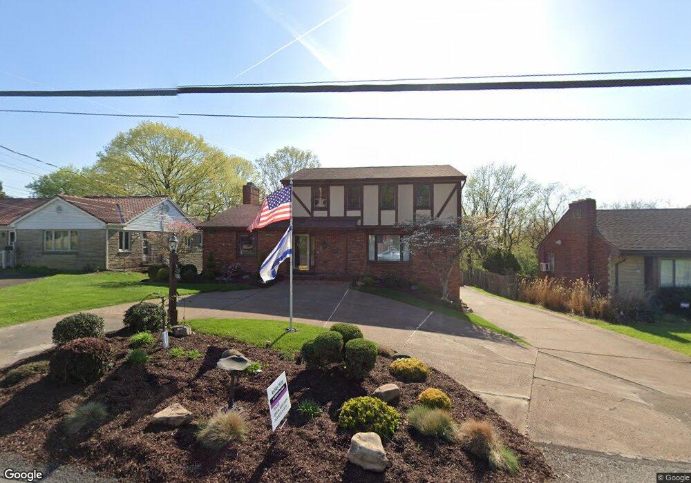
5056 Brownsville Rd Pittsburgh, PA 15236
Estimated Value: $351,000 - $401,059
4
Beds
4
Baths
2,220
Sq Ft
$169/Sq Ft
Est. Value
About This Home
This home is located at 5056 Brownsville Rd, Pittsburgh, PA 15236 and is currently estimated at $376,015, approximately $169 per square foot. 5056 Brownsville Rd is a home located in Allegheny County with nearby schools including J.E. Harrison Middle School, Baldwin Senior High School, and Mother of Mercy Academy.
Ownership History
Date
Name
Owned For
Owner Type
Purchase Details
Closed on
Feb 14, 2003
Sold by
Connor Jesse and Connor Deidre
Bought by
Halerz Sean M and Halerz Mary C
Current Estimated Value
Purchase Details
Closed on
Sep 17, 1998
Sold by
Federal Home Loan Mortgage Corporation
Bought by
Connor Jesse and Connor Deidre
Purchase Details
Closed on
Apr 24, 1998
Sold by
Delre Lawrence and Delre Edenia B
Bought by
Federal Home Loan Mortgage Corporation
Purchase Details
Closed on
Jan 1, 1900
Create a Home Valuation Report for This Property
The Home Valuation Report is an in-depth analysis detailing your home's value as well as a comparison with similar homes in the area
Home Values in the Area
Average Home Value in this Area
Purchase History
| Date | Buyer | Sale Price | Title Company |
|---|---|---|---|
| Halerz Sean M | $160,000 | -- | |
| Connor Jesse | $119,999 | -- | |
| Federal Home Loan Mortgage Corporation | $1,784 | -- | |
| -- | -- | -- |
Source: Public Records
Tax History Compared to Growth
Tax History
| Year | Tax Paid | Tax Assessment Tax Assessment Total Assessment is a certain percentage of the fair market value that is determined by local assessors to be the total taxable value of land and additions on the property. | Land | Improvement |
|---|---|---|---|---|
| 2025 | $5,883 | $175,600 | $49,800 | $125,800 |
| 2024 | $5,646 | $175,600 | $49,800 | $125,800 |
| 2023 | $5,646 | $175,600 | $49,800 | $125,800 |
| 2022 | $5,581 | $175,600 | $49,800 | $125,800 |
| 2021 | $5,428 | $175,600 | $49,800 | $125,800 |
| 2020 | $5,428 | $175,600 | $49,800 | $125,800 |
| 2019 | $5,303 | $175,600 | $49,800 | $125,800 |
| 2018 | $831 | $175,600 | $49,800 | $125,800 |
| 2017 | $4,987 | $175,600 | $49,800 | $125,800 |
| 2016 | $831 | $175,600 | $49,800 | $125,800 |
| 2015 | $831 | $175,600 | $49,800 | $125,800 |
| 2014 | $4,739 | $175,600 | $49,800 | $125,800 |
Source: Public Records
Map
Nearby Homes
- 5005 Brownsville Rd
- 5076 Brownsville Rd
- 5006 Parkvue Dr
- 4925 Brownsville Rd
- 111 Maryal Dr
- 61 Hollow Haven Dr
- 4983 Willow Dr
- 4952 Flamingo Dr
- 0 Audrey Ext Saratoga and Sequoia Unit 1686185
- 4596 Echo Glen Dr
- 5273 Ranchview Dr
- 445 Jenne Dr
- 4606 Brownsville Rd
- 185 Peach Dr
- 4603 Rolling Hills Rd
- 194 Thomas Dr
- 5363 Overland Trail
- 434 MacAssar Dr
- 5512 Wolfe Dr
- 468 Lois Dr
- 5054 Brownsville Rd
- 5060 Brownsville Rd
- 4984 Brownsville Rd
- 4978 Brownsville Rd
- 5013 Brownsville Rd
- 5019 Brownsville Rd
- 4974 Brownsville Rd
- 5023 Brownsville Rd
- 4981 Brownsville Rd
- 5 Felix Dr
- 5064 Brownsville Rd
- 270 Jean Dr
- 5029 Brownsville Rd
- 274 Jean Dr
- 3 Felix Dr
- 266 Jean Dr
- 4979 Brownsville Rd
- 7 Felix Dr
- 278 Jean Dr
- 5006 Carlyn Dr