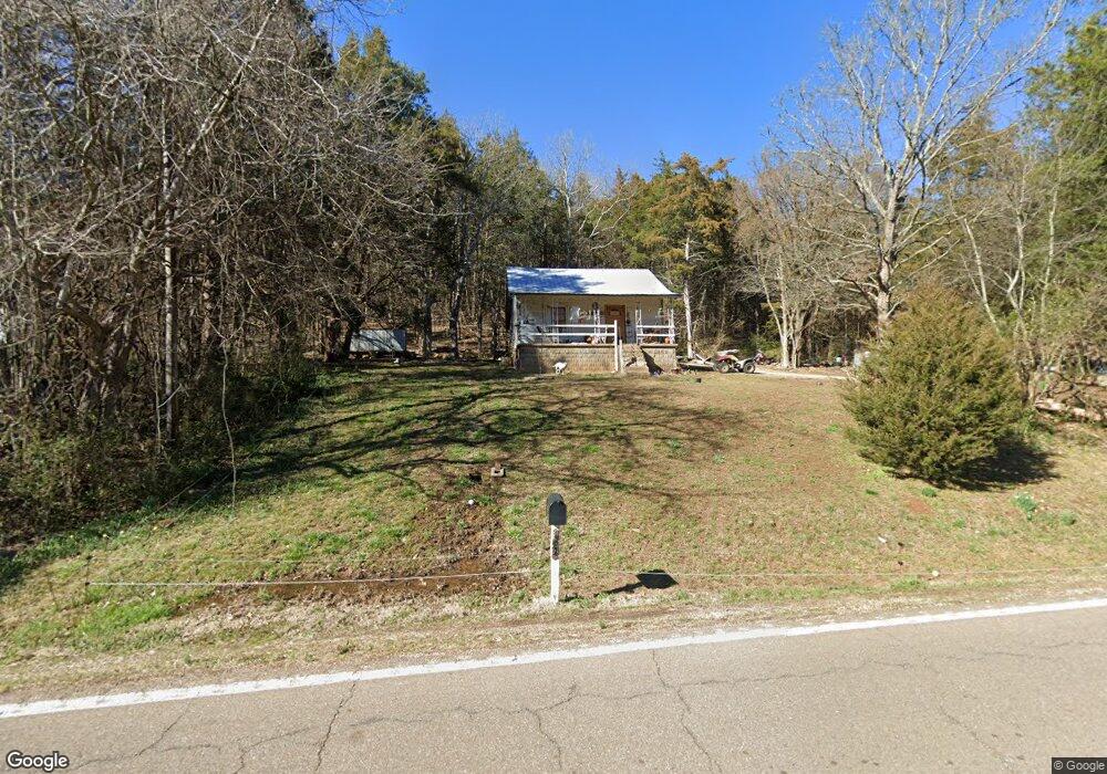
5066 Highway 128 Linden, TN 37096
Estimated Value: $65,381 - $213,000
--
Bed
1
Bath
--
Sq Ft
0.72
Acres
About This Home
This home is located at 5066 Highway 128, Linden, TN 37096 and is currently estimated at $109,845. 5066 Highway 128 is a home located in Perry County.
Ownership History
Date
Name
Owned For
Owner Type
Purchase Details
Closed on
Feb 4, 2022
Sold by
Paul Edwards Iii and Paul Lydiann
Bought by
Alexander Callie Hope and Alexander Lillian Mai
Current Estimated Value
Purchase Details
Closed on
Nov 8, 2018
Sold by
Perry County Tennessee
Bought by
Edwards Paul
Purchase Details
Closed on
Jul 28, 2015
Sold by
Haynes Roy
Bought by
Perry County Tn
Purchase Details
Closed on
Aug 6, 1993
Bought by
Haynes Roy
Purchase Details
Closed on
Oct 6, 1989
Bought by
Haynes Roy
Purchase Details
Closed on
Sep 16, 1986
Bought by
Kimbel Robert Keith and Kimbel Sandra
Create a Home Valuation Report for This Property
The Home Valuation Report is an in-depth analysis detailing your home's value as well as a comparison with similar homes in the area
Home Values in the Area
Average Home Value in this Area
Purchase History
| Date | Buyer | Sale Price | Title Company |
|---|---|---|---|
| Alexander Callie Hope | -- | Carroll John H | |
| Edwards Paul | $1,100 | None Available | |
| Perry County Tn | $863 | -- | |
| Haynes Roy | -- | -- | |
| Haynes Roy | $16,500 | -- | |
| Kimbel Robert Keith | -- | -- |
Source: Public Records
Tax History Compared to Growth
Tax History
| Year | Tax Paid | Tax Assessment Tax Assessment Total Assessment is a certain percentage of the fair market value that is determined by local assessors to be the total taxable value of land and additions on the property. | Land | Improvement |
|---|---|---|---|---|
| 2025 | $80 | $3,475 | $0 | $0 |
| 2024 | $80 | $3,475 | $1,475 | $2,000 |
| 2023 | $80 | $3,475 | $1,475 | $2,000 |
| 2022 | $80 | $3,475 | $1,475 | $2,000 |
| 2021 | $80 | $3,475 | $1,475 | $2,000 |
| 2020 | $80 | $3,475 | $1,475 | $2,000 |
| 2019 | $86 | $3,475 | $1,475 | $2,000 |
| 2018 | $0 | $0 | $0 | $0 |
| 2017 | $0 | $0 | $0 | $0 |
| 2016 | $102 | $4,170 | $1,770 | $2,400 |
| 2015 | $100 | $4,170 | $1,770 | $2,400 |
| 2014 | $100 | $6,450 | $1,475 | $4,975 |
| 2013 | $132 | $5,480 | $0 | $0 |
Source: Public Records
Map
Nearby Homes
- 0 New Era Ridge Rd Unit RTC2991826
- 0 New Era Ridge Rd Unit 25219806
- 168 Mackin Rd
- 3 Kellys Landing Rd
- 1 Kellys Landing Rd
- 2 Kellys Landing Dr
- Lot 1 Kellys Landing Rd
- Lot 3 Kellys Landing Rd
- Lot 2 Kellys Landing Rd
- 1 New Era Landing Rd
- 3202 Lego School Rd
- 1040 Whites Creek Ln
- 0 New Era Landing Unit 17800450
- 0 New Era Landing Unit RTC2554791
- 555 New Era Bluff Rd
- 0 Sewell Branch Rd
- 351 New Era Landing Rd
- 91 Creekside View Ln
- 7525 Mount Carmel Rd
- 0 Phillips Rd
- 5117 Highway 128
- 5020 Highway 128
- 5008 Highway 128
- 5106 Highway 128
- 4996 Highway 128
- 4930 Highway 128
- 4928 Highway 128
- 4878 Highway 128
- 208 Cedar Creek Rd
- 5399 Highway 128
- 5425 Highway 128
- 4746 Highway 128
- 5456 Highway 128
- 5474 Highway 128
- 405 Cedar Creek Rd
- 4648 Highway 128
- 565 Cedar Creek Rd
- 4508 Highway 128
- 13 Mayberry Prong Rd
- 4422 Highway 128